830 River Rd West Point, VA 23181
Estimated Value: $488,000 - $736,000
4
Beds
3
Baths
3,000
Sq Ft
$208/Sq Ft
Est. Value
About This Home
This home is located at 830 River Rd, West Point, VA 23181 and is currently estimated at $623,675, approximately $207 per square foot. 830 River Rd is a home located in King William County with nearby schools including West Point Elementary School, West Point Middle School, and West Point High School.
Ownership History
Date
Name
Owned For
Owner Type
Purchase Details
Closed on
Jun 6, 2011
Sold by
Cowles Dozier John
Bought by
Paul Joerg and Paul Cynthia D
Current Estimated Value
Home Financials for this Owner
Home Financials are based on the most recent Mortgage that was taken out on this home.
Original Mortgage
$300,000
Outstanding Balance
$208,936
Interest Rate
4.85%
Mortgage Type
New Conventional
Estimated Equity
$414,739
Create a Home Valuation Report for This Property
The Home Valuation Report is an in-depth analysis detailing your home's value as well as a comparison with similar homes in the area
Home Values in the Area
Average Home Value in this Area
Purchase History
| Date | Buyer | Sale Price | Title Company |
|---|---|---|---|
| Paul Joerg | $450,000 | -- |
Source: Public Records
Mortgage History
| Date | Status | Borrower | Loan Amount |
|---|---|---|---|
| Open | Paul Joerg | $300,000 |
Source: Public Records
Tax History Compared to Growth
Tax History
| Year | Tax Paid | Tax Assessment Tax Assessment Total Assessment is a certain percentage of the fair market value that is determined by local assessors to be the total taxable value of land and additions on the property. | Land | Improvement |
|---|---|---|---|---|
| 2025 | $1,868 | $612,400 | $231,000 | $381,400 |
| 2024 | $1,653 | $612,400 | $231,000 | $381,400 |
| 2023 | $1,653 | $612,400 | $231,000 | $381,400 |
| 2022 | $1,998 | $532,900 | $231,000 | $301,900 |
| 2021 | $2,025 | $532,900 | $231,000 | $301,900 |
| 2020 | $2,025 | $676,400 | $220,000 | $456,400 |
| 2019 | $2,025 | $476,300 | $231,000 | $245,300 |
| 2018 | $2,078 | $532,900 | $231,000 | $301,900 |
| 2017 | $2,158 | $532,900 | $231,000 | $301,900 |
| 2016 | $2,185 | $532,900 | $231,000 | $301,900 |
| 2015 | $2,291 | $532,900 | $231,000 | $301,900 |
| 2014 | $1,966 | $0 | $0 | $0 |
Source: Public Records
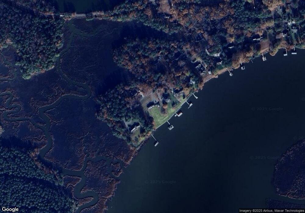
Map
Nearby Homes
- 4090 Dogwood Dr
- .21ac King William Ave
- Lot 24 King William Ave
- Lot 25 King William Ave
- TBD King William Rd
- 3559 Odi St
- 3557 Odi St
- 230 Glen St
- Lot 23 Glen St
- 000 Glen St
- .21ac Glen St
- 00 Glen St
- 300 Thompson Ave
- 321 Pointers Dr
- 330 Pointers Dr
- 2660 N Oak Ln
- 1300 Blossom Ln
- 8325 Mill Creek Rd Unit A
- LOT 16 Newman Dr
- LOT 16 B Newman Dr
- 840 River Rd
- 870 River Rd
- 790 River Rd
- 770 River Rd
- 710 S East River
- 740 River Rd
- 0000 River Rd
- 710 River Rd
- 870 S West River Rd
- 705 River Rd
- 690 River Rd
- 650 W Euclid Heights Blvd
- 650 W Euclid Blvd
- 650 W Euclid Blvd
- 670 River Rd
- 3950 Dogwood Dr
- 3960 Dogwood Dr
- 600 W Euclid Blvd
- 4010 Dogwood Dr
- 590 River Rd