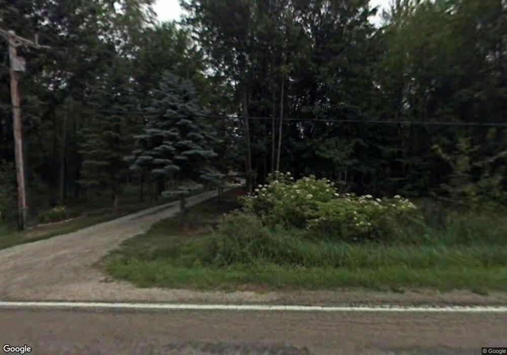
830 W Prevo Rd Linwood, MI 48634
Estimated Value: $165,000 - $306,000
--
Bed
--
Bath
1,700
Sq Ft
$143/Sq Ft
Est. Value
About This Home
This home is located at 830 W Prevo Rd, Linwood, MI 48634 and is currently estimated at $243,669, approximately $143 per square foot. 830 W Prevo Rd is a home located in Bay County with nearby schools including Linwood Elementary School, Pinconning Central Elementary School, and Pinconning Middle School.
Ownership History
Date
Name
Owned For
Owner Type
Purchase Details
Closed on
Aug 27, 2025
Sold by
Campbell Melvin Lytell
Bought by
Campbell Melvin L and Melvin L Campbell Sr Revocable Living Trust
Current Estimated Value
Purchase Details
Closed on
Jan 26, 2009
Sold by
Campbell Carol Ann
Bought by
Campbell Melvin Lytell
Purchase Details
Closed on
May 24, 2005
Sold by
Campbell Melvin L
Bought by
Sheppard Carol A and Campbell Melvin L
Purchase Details
Closed on
Apr 9, 2004
Sold by
Campbell Mary A
Bought by
Campbell Melvin
Purchase Details
Closed on
Jul 14, 1987
Sold by
Marciak Jeffery W and Marciak Kathy
Bought by
Campbell Melvin L and Campbell Mary A
Create a Home Valuation Report for This Property
The Home Valuation Report is an in-depth analysis detailing your home's value as well as a comparison with similar homes in the area
Home Values in the Area
Average Home Value in this Area
Purchase History
| Date | Buyer | Sale Price | Title Company |
|---|---|---|---|
| Campbell Melvin L | -- | None Listed On Document | |
| Campbell Melvin Lytell | -- | None Available | |
| Sheppard Carol A | -- | -- | |
| Campbell Melvin | -- | -- | |
| Campbell Melvin L | $52,100 | -- |
Source: Public Records
Tax History Compared to Growth
Tax History
| Year | Tax Paid | Tax Assessment Tax Assessment Total Assessment is a certain percentage of the fair market value that is determined by local assessors to be the total taxable value of land and additions on the property. | Land | Improvement |
|---|---|---|---|---|
| 2025 | $2,346 | $127,550 | $0 | $0 |
| 2024 | $2,214 | $113,850 | $0 | $0 |
| 2023 | $658 | $94,100 | $0 | $0 |
| 2022 | $2,044 | $87,450 | $0 | $0 |
| 2021 | $1,812 | $83,150 | $83,150 | $0 |
| 2020 | $1,783 | $80,400 | $80,400 | $0 |
| 2019 | $1,706 | $77,450 | $0 | $0 |
| 2018 | $1,628 | $72,050 | $0 | $0 |
| 2017 | $1,587 | $70,050 | $0 | $0 |
| 2016 | $1,590 | $68,350 | $0 | $68,350 |
| 2015 | $1,572 | $63,400 | $0 | $63,400 |
| 2014 | $1,572 | $66,700 | $0 | $66,700 |
Source: Public Records
Map
Nearby Homes
- 1560 N 8 Mile Rd
- Vacant Land N Garfield Rd
- Vacant Land N Garfield Rd Unit V/L Parcel B Garfiel
- 1992 N 7 Mile Rd
- 2218 S Nine Mile Rd
- 2671 N 8 Mile Rd
- 1255 S Nine Mile Rd
- 0 E Prevo Rd
- 2730 W Anderson Rd
- 0 S 11 Mile Rd
- 4949 S Garfield Rd
- 2192 S Garfield Rd
- 1428 S 8 Mile Rd
- 2515 S 11 Mile Rd
- 0 N Huron Rd Unit 20250021856
- 5096 N Waldo Rd
- 0 Birch Dr
- 1134 N Kaiser Tower Rd
- V/L N Ehlers Rd
- 50 Schmidt Rd
- 866 W Prevo Rd
- 888 W Prevo Rd
- 888 W Prevo Rd
- 946 W Prevo Rd
- 1110 N Garfield Rd
- 960 W Prevo Rd
- 1078 N Garfield Rd
- 980 N Garfield Rd
- 1106 N Garfield Rd
- 643 W Prevo Rd
- 1166 N Garfield Rd
- 1172 N Garfield Rd
- 625 W Prevo Rd
- 610 W Prevo Rd
- 886 N Garfield Rd
- 840 N Garfield Rd
- 609 W Prevo Rd
- 1196 N Garfield Rd
- 890 N North Garfield Rd
- 1218 N Garfield Rd