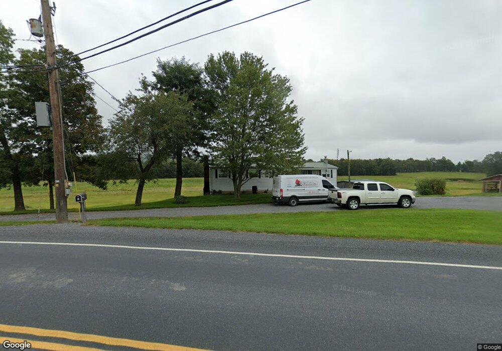
8300 State Route 54 Watsontown, PA 17777
Estimated Value: $193,199 - $217,000
--
Bed
--
Bath
--
Sq Ft
11.74
Acres
About This Home
This home is located at 8300 State Route 54, Watsontown, PA 17777 and is currently estimated at $205,100. 8300 State Route 54 is a home located in Northumberland County with nearby schools including Warrior Run High School, Sunny Crest School, and SPRING VIEW AMISH SCHOOL.
Ownership History
Date
Name
Owned For
Owner Type
Purchase Details
Closed on
Apr 12, 2019
Sold by
Alpaugh Barbara S
Bought by
Alpaugh Donald H
Current Estimated Value
Purchase Details
Closed on
Jan 7, 2019
Sold by
Alpaugh Barbara S
Bought by
Alpaugh Donald H
Home Financials for this Owner
Home Financials are based on the most recent Mortgage that was taken out on this home.
Original Mortgage
$96,000
Outstanding Balance
$84,231
Interest Rate
4.5%
Mortgage Type
Closed End Mortgage
Estimated Equity
$120,869
Create a Home Valuation Report for This Property
The Home Valuation Report is an in-depth analysis detailing your home's value as well as a comparison with similar homes in the area
Home Values in the Area
Average Home Value in this Area
Purchase History
| Date | Buyer | Sale Price | Title Company |
|---|---|---|---|
| Alpaugh Donald H | -- | None Available | |
| Alpaugh Donald H | $120,000 | None Available |
Source: Public Records
Mortgage History
| Date | Status | Borrower | Loan Amount |
|---|---|---|---|
| Open | Alpaugh Donald H | $96,000 |
Source: Public Records
Tax History Compared to Growth
Tax History
| Year | Tax Paid | Tax Assessment Tax Assessment Total Assessment is a certain percentage of the fair market value that is determined by local assessors to be the total taxable value of land and additions on the property. | Land | Improvement |
|---|---|---|---|---|
| 2025 | $2,905 | $23,610 | $4,150 | $19,460 |
| 2024 | $2,697 | $23,610 | $4,150 | $19,460 |
| 2023 | $2,697 | $23,610 | $4,150 | $19,460 |
| 2022 | $2,646 | $23,610 | $4,150 | $19,460 |
| 2021 | $2,590 | $23,610 | $4,150 | $19,460 |
| 2020 | $2,556 | $23,610 | $4,150 | $19,460 |
| 2019 | $2,243 | $21,460 | $2,000 | $19,460 |
| 2018 | $2,226 | $21,460 | $2,000 | $19,460 |
| 2017 | $2,109 | $21,460 | $2,000 | $19,460 |
| 2016 | -- | $21,460 | $2,000 | $19,460 |
| 2015 | -- | $21,460 | $2,000 | $19,460 |
| 2014 | -- | $21,460 | $2,000 | $19,460 |
Source: Public Records
Map
Nearby Homes
- 8430 State Route 54
- 74 Crawford Rd
- 106 Crawford Rd
- 8150 State Route 54
- 8495 State Route 54
- 141 Crawford Rd
- 177 Crawford Rd
- 209 Crawford Rd
- 191 Crawford Rd
- 245 Crawford Rd
- 255 Crawford Rd
- 8620 State Route 54
- 275 Crawford Rd
- 325 Crawford Rd
- 356 Crawford Rd
- 8770 State Route 54
- 29 Love Ln
- 370 Crawford Rd
- 350 Dentler Rd
- 401 Dentler Rd