Estimated Value: $304,224 - $387,000
3
Beds
1
Bath
1,920
Sq Ft
$178/Sq Ft
Est. Value
About This Home
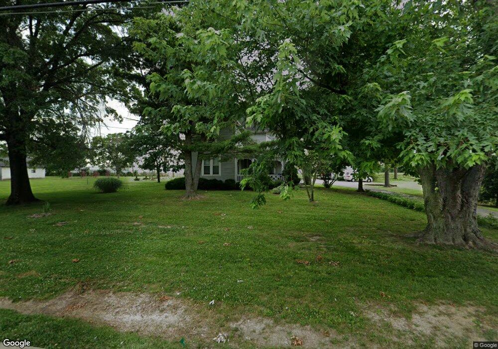
This home is located at 8301 Snider Rd, Mason, OH 45040 and is currently estimated at $341,306, approximately $177 per square foot. 8301 Snider Rd is a home located in Warren County with nearby schools including Mason Intermediate Elementary School, Mason Middle School, and William Mason High School.
Ownership History
Date
Name
Owned For
Owner Type
Purchase Details
Closed on
Nov 25, 2019
Sold by
Ernst James E and Ernst Carol L
Bought by
The Wm A Natorp Company
Current Estimated Value
Purchase Details
Closed on
Aug 13, 2007
Sold by
Ernst James Edgar and Ernst Carol L
Bought by
Ernst James E and Ernst Carol L
Purchase Details
Closed on
May 18, 1989
Sold by
Ernst Ernst and Ernst Edgar
Bought by
Ernst Ernst and Ernst Edgar
Create a Home Valuation Report for This Property
The Home Valuation Report is an in-depth analysis detailing your home's value as well as a comparison with similar homes in the area
Home Values in the Area
Average Home Value in this Area
Purchase History
| Date | Buyer | Sale Price | Title Company |
|---|---|---|---|
| The Wm A Natorp Company | $260,000 | None Available | |
| Ernst James E | -- | Attorney | |
| Ernst Ernst | -- | -- |
Source: Public Records
Tax History
| Year | Tax Paid | Tax Assessment Tax Assessment Total Assessment is a certain percentage of the fair market value that is determined by local assessors to be the total taxable value of land and additions on the property. | Land | Improvement |
|---|---|---|---|---|
| 2025 | $2,288 | $52,550 | $19,570 | $32,980 |
| 2024 | $2,288 | $52,550 | $19,570 | $32,980 |
| 2023 | $2,189 | $42,175 | $12,670 | $29,505 |
| 2022 | $2,189 | $42,175 | $12,670 | $29,505 |
| 2021 | $2,081 | $42,175 | $12,670 | $29,505 |
| 2020 | $1,997 | $34,290 | $10,301 | $23,989 |
| 2019 | $1,804 | $34,290 | $10,301 | $23,989 |
| 2018 | $1,812 | $34,290 | $10,301 | $23,989 |
| 2017 | $1,683 | $29,383 | $7,137 | $22,246 |
| 2016 | $1,731 | $29,383 | $7,137 | $22,246 |
| 2015 | $1,662 | $29,383 | $7,137 | $22,246 |
| 2014 | $1,662 | $26,000 | $6,310 | $19,690 |
| 2013 | $1,665 | $31,100 | $7,550 | $23,550 |
Source: Public Records
Map
Nearby Homes
- 8284 Lee Ct
- 5673 Dockside Dr
- 5661 Harbourside Dr
- 6291 Greenwood Ct
- 6418 Sherman Terrace Rd
- 6266 Trailwood Ct
- 7798 Alexandra Dr
- 8845 Suncrest Ln
- 5576 Winding Cape Way
- Winslow Plan at Losh Landing - Masterpiece Collection
- Paxton Plan at Losh Landing - Masterpiece Collection
- Huxley Plan at Losh Landing - Masterpiece Collection
- Pearson Plan at Losh Landing - Masterpiece Collection
- Beckett Plan at Losh Landing - Masterpiece Collection
- Leland Plan at Losh Landing - Masterpiece Collection
- Clay Plan at Losh Landing - Masterpiece Collection
- Mitchell Plan at Losh Landing - Masterpiece Collection
- Margot Plan at Losh Landing - Masterpiece Collection
- Teagan Plan at Losh Landing - Masterpiece Collection
- 8606 Charleston Valley Dr
- 8339 Snider Rd
- 8253 Snider Rd
- 8302 Snider Rd
- 8276 Snider Rd
- 8260 Snider Rd
- 5908 Stone Trace Dr
- 5906 Stone Trace Dr
- 5907 Stone Trace Dr
- 5895 Windwood Ct
- 5931 Socialville Foster Rd
- 5982 Socialville Foster Rd
- 5894 Windwood Ct
- 5902 Stone Trace Dr
- 5889 Windwood Ct
- 5901 Stone Trace Dr
- 5892 Windwood Ct
- 5894 Stone Trace Dr
- 5893 Stone Trace Dr
- 5881 Windwood Ct
- 8162 Snider Rd