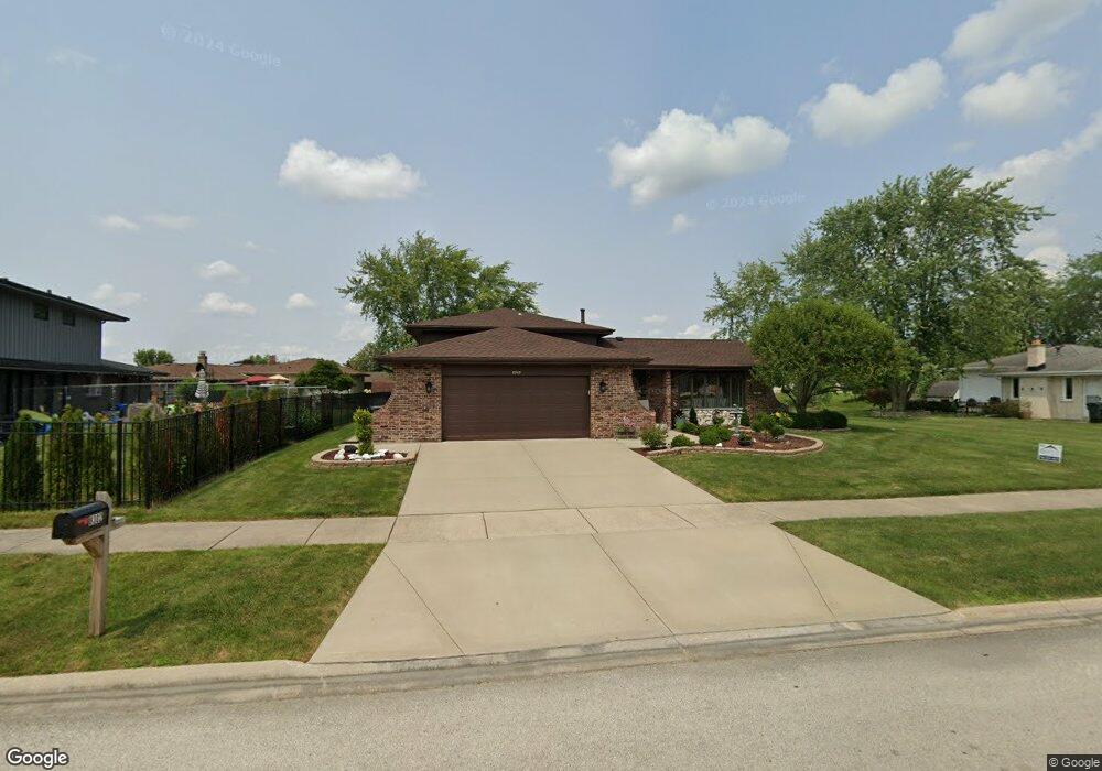
8302 Bob o Link Rd Orland Park, IL 60462
Silver Lake South NeighborhoodEstimated Value: $392,000 - $412,767
4
Beds
3
Baths
1,596
Sq Ft
$253/Sq Ft
Est. Value
About This Home
This home is located at 8302 Bob o Link Rd, Orland Park, IL 60462 and is currently estimated at $403,442, approximately $252 per square foot. 8302 Bob o Link Rd is a home located in Cook County with nearby schools including Prairie Elementary School, Liberty Elementary School, and Jerling Junior High School.
Ownership History
Date
Name
Owned For
Owner Type
Purchase Details
Closed on
Jun 3, 2021
Sold by
Dewilkins Donald W and Dewilkins Margaret
Bought by
Dewilkins Donald and Dewilkins Margaret
Current Estimated Value
Create a Home Valuation Report for This Property
The Home Valuation Report is an in-depth analysis detailing your home's value as well as a comparison with similar homes in the area
Home Values in the Area
Average Home Value in this Area
Purchase History
| Date | Buyer | Sale Price | Title Company |
|---|---|---|---|
| Dewilkins Donald | -- | Accommodation |
Source: Public Records
Tax History Compared to Growth
Tax History
| Year | Tax Paid | Tax Assessment Tax Assessment Total Assessment is a certain percentage of the fair market value that is determined by local assessors to be the total taxable value of land and additions on the property. | Land | Improvement |
|---|---|---|---|---|
| 2024 | $7,100 | $35,000 | $6,250 | $28,750 |
| 2023 | $5,614 | $35,000 | $6,250 | $28,750 |
| 2022 | $5,614 | $25,581 | $5,500 | $20,081 |
| 2021 | $5,474 | $25,581 | $5,500 | $20,081 |
| 2020 | $5,396 | $25,581 | $5,500 | $20,081 |
| 2019 | $4,593 | $23,593 | $5,000 | $18,593 |
| 2018 | $5,217 | $26,412 | $5,000 | $21,412 |
| 2017 | $5,130 | $26,412 | $5,000 | $21,412 |
| 2016 | $5,031 | $23,026 | $4,500 | $18,526 |
| 2015 | $4,913 | $23,026 | $4,500 | $18,526 |
| 2014 | $4,870 | $23,026 | $4,500 | $18,526 |
| 2013 | $4,742 | $23,762 | $4,500 | $19,262 |
Source: Public Records
Map
Nearby Homes
- 8215 Saint Andrews Dr
- 15024 S 81st Ave
- 15229 Bunker Dr
- 14939 S 81st Ct
- 15426 S 82nd Ave
- 7922 Sycamore Dr
- 7991 Forestview Dr
- 15624 Sunset Ridge Dr
- 15543 Brassie Dr
- 8624 Kendall Ln
- 15633 Orlan Brook Dr
- 15636 Chapel Hill Rd
- 7820 Forestview Dr
- 15642 Plum Tree Dr
- 7712 Sequoia Ct
- 7825 Braeloch Ct
- 15717 Orlan Brook Dr Unit G83
- 8909 Silverdale Dr Unit 5C
- 15713 Orlan Brook Dr Unit 98
- 7842 Sea Pines Rd
- 15131 Carol Ct
- 15125 Carol Ct
- 8305 Bob o Link Rd
- 8220 Bob o Link Rd
- 15119 Carol Ct
- 15207 Woodmar Dr
- 8314 Bob o Link Rd
- 8214 Bob o Link Rd
- 15124 Saint Andrews Ct
- 15113 Carol Ct
- 15128 Carol Ct
- 15213 Woodmar Dr
- 15210 Woodmar Dr
- 8317 Bob o Link Rd
- 15206 Saint Andrews Dr
- 15122 Carol Ct
- 15118 Saint Andrews Ct
- 15112 Saint Andrews Ct
- 15219 Woodmar Dr Unit 1