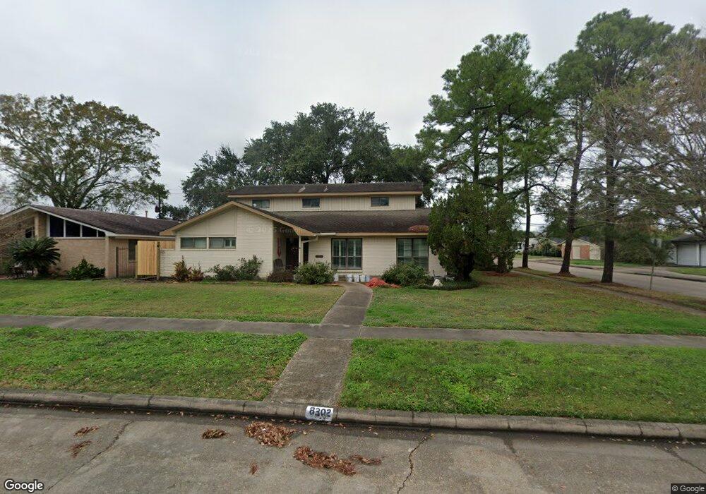
8302 Leader St Houston, TX 77036
Sharpstown NeighborhoodEstimated Value: $306,000 - $358,000
3
Beds
2
Baths
2,348
Sq Ft
$138/Sq Ft
Est. Value
About This Home
This home is located at 8302 Leader St, Houston, TX 77036 and is currently estimated at $323,232, approximately $137 per square foot. 8302 Leader St is a home located in Harris County with nearby schools including Neff Elementary School, Sugar Grove Academy, and Sharpstown High School.
Ownership History
Date
Name
Owned For
Owner Type
Purchase Details
Closed on
Sep 13, 2024
Sold by
Bach Rosemary
Bought by
Bach Luke
Current Estimated Value
Purchase Details
Closed on
Nov 12, 1996
Sold by
Bach Rosemary
Bought by
Valentas Albert
Purchase Details
Closed on
Sep 10, 1993
Sold by
Valentas Eunice B and Valentas Edward T
Bought by
Valentas Albert J
Create a Home Valuation Report for This Property
The Home Valuation Report is an in-depth analysis detailing your home's value as well as a comparison with similar homes in the area
Home Values in the Area
Average Home Value in this Area
Purchase History
| Date | Buyer | Sale Price | Title Company |
|---|---|---|---|
| Bach Luke | -- | None Listed On Document | |
| Valentas Albert | -- | -- | |
| Valentas Albert J | -- | -- |
Source: Public Records
Mortgage History
| Date | Status | Borrower | Loan Amount |
|---|---|---|---|
| Closed | Bach Luke | $0 |
Source: Public Records
Tax History Compared to Growth
Tax History
| Year | Tax Paid | Tax Assessment Tax Assessment Total Assessment is a certain percentage of the fair market value that is determined by local assessors to be the total taxable value of land and additions on the property. | Land | Improvement |
|---|---|---|---|---|
| 2025 | $99 | $300,058 | $136,930 | $163,128 |
| 2024 | $99 | $286,755 | $98,894 | $187,861 |
| 2023 | $99 | $290,753 | $98,894 | $191,859 |
| 2022 | $5,400 | $260,643 | $60,858 | $199,785 |
| 2021 | $5,014 | $215,121 | $60,858 | $154,263 |
| 2020 | $5,495 | $219,641 | $60,858 | $158,783 |
| 2019 | $5,734 | $219,641 | $45,643 | $173,998 |
| 2018 | $300 | $210,583 | $45,643 | $164,940 |
| 2017 | $4,850 | $205,656 | $45,643 | $160,013 |
| 2016 | $4,409 | $200,400 | $45,643 | $154,757 |
| 2015 | -- | $176,937 | $45,643 | $131,294 |
| 2014 | -- | $154,237 | $45,643 | $108,594 |
Source: Public Records
Map
Nearby Homes
- 8314 Edgemoor Dr
- 8515 Edgemoor Dr
- 8527 Edgemoor Dr
- 6602 Harbor Town Dr Unit 1207
- 6602 Harbor Town Dr Unit 1202
- 8530 Roos Rd
- 7819 Bellaire Blvd
- 7302 Burning Tree Dr
- 6500 Harbor Town Dr Unit 3208
- 6500 Harbor Town Dr Unit 2808
- 6500 Harbor Town Dr Unit 3204
- 6500 Harbor Town Dr Unit 3408
- 6500 Harbor Town Dr Unit 2902
- 7302 Redding Rd
- 8019 Sharpview Dr
- 6411 Redding Rd
- 8223 Golf Green Cir
- 7303 Augustine Dr
- 8826 Rowan Ln
- 8818 Roos Rd
- 8306 Leader St
- 8303 Bellaire Blvd
- 8226 Leader St
- 8310 Leader St
- 8307 Bellaire Blvd
- 8303 Leader St
- 8223 Bellaire Blvd
- 8307 Leader St
- 8314 Leader St
- 8222 Leader St
- 8311 Bellaire Blvd
- 8227 Leader St
- 8311 Leader St
- 8219 Bellaire Blvd
- 8318 Leader St
- 8315 Bellaire Blvd
- 8223 Leader St
- 8218 Leader St
- 8315 Leader St
- 8306 Edgemoor Dr