8302 Susott Rd Elberfeld, IN 47613
Estimated Value: $212,000 - $371,508
3
Beds
2
Baths
1,500
Sq Ft
$185/Sq Ft
Est. Value
About This Home
This home is located at 8302 Susott Rd, Elberfeld, IN 47613 and is currently estimated at $276,877, approximately $184 per square foot. 8302 Susott Rd is a home located in Warrick County with nearby schools including Elberfeld Elementary School and Tecumseh High School.
Ownership History
Date
Name
Owned For
Owner Type
Purchase Details
Closed on
Oct 25, 2019
Sold by
Dockery Valerie P
Bought by
Dockery Thomas A and Dockery Valerie P
Current Estimated Value
Home Financials for this Owner
Home Financials are based on the most recent Mortgage that was taken out on this home.
Original Mortgage
$133,500
Interest Rate
3.75%
Mortgage Type
Future Advance Clause Open End Mortgage
Purchase Details
Closed on
Aug 29, 2019
Sold by
Barton Blossom A
Bought by
Dockery Valerie P
Home Financials for this Owner
Home Financials are based on the most recent Mortgage that was taken out on this home.
Original Mortgage
$133,500
Interest Rate
3.75%
Mortgage Type
Future Advance Clause Open End Mortgage
Create a Home Valuation Report for This Property
The Home Valuation Report is an in-depth analysis detailing your home's value as well as a comparison with similar homes in the area
Home Values in the Area
Average Home Value in this Area
Purchase History
| Date | Buyer | Sale Price | Title Company |
|---|---|---|---|
| Dockery Thomas A | -- | None Available | |
| Dockery Valerie P | -- | None Available |
Source: Public Records
Mortgage History
| Date | Status | Borrower | Loan Amount |
|---|---|---|---|
| Closed | Dockery Thomas A | $133,500 |
Source: Public Records
Tax History Compared to Growth
Tax History
| Year | Tax Paid | Tax Assessment Tax Assessment Total Assessment is a certain percentage of the fair market value that is determined by local assessors to be the total taxable value of land and additions on the property. | Land | Improvement |
|---|---|---|---|---|
| 2024 | $1,878 | $259,900 | $60,800 | $199,100 |
| 2023 | $2,091 | $269,200 | $45,900 | $223,300 |
| 2022 | $2,227 | $274,500 | $45,900 | $228,600 |
| 2021 | $2,230 | $236,700 | $45,900 | $190,800 |
| 2020 | $2,500 | $153,400 | $39,900 | $113,500 |
| 2019 | $1,577 | $166,700 | $43,400 | $123,300 |
| 2018 | $1,592 | $166,600 | $43,400 | $123,200 |
| 2017 | $1,575 | $165,600 | $43,400 | $122,200 |
| 2016 | $1,561 | $166,100 | $43,400 | $122,700 |
| 2014 | $1,512 | $168,700 | $43,400 | $125,300 |
| 2013 | $1,512 | $171,800 | $43,400 | $128,400 |
Source: Public Records
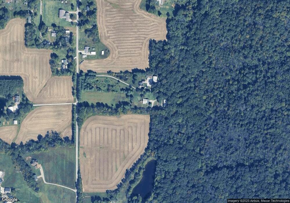
Map
Nearby Homes
- 0 950 Rd S Unit 202437585
- 1300 S County Rd
- 110 Ohio St
- New Harmony Rd
- 355 W Walnut St
- 11499 Nobles Chapel Rd
- 19018 Indiana 57
- 5180 E 1200 S
- 3699 Asbury Cemetery Rd
- 4711 Lemon Grass Ct
- 13918 Persimmon Ln
- 10088 W Welte Rd
- 13621 Prairie Dr
- 13031 Kingsley Ct
- The Fontaine Plan at Creekside Meadows
- The Hudson Plan at Creekside Meadows
- The Andover Plan at Creekside Meadows
- The Sheffield Plan at Creekside Meadows
- The Delaney Plan at Creekside Meadows
- The Dresden Plan at Creekside Meadows
- 8300 Susott Rd
- 8366 Susott Rd
- 8355 Susott Rd
- 8400 Susott Rd
- 8411 Susott Rd
- 8411 Susott Rd
- 10155 Stanley Rd
- 10333 Stanley Rd
- 8466 Susott Rd
- 8000 Susott Rd
- 8477 Susott Rd
- 8155 Susott Rd
- 8299 Susott Rd
- 10166 Stanley Rd
- 10224 Stanley Rd
- 10122 Stanley Rd
- 10022 Stanley Rd
- 10299 Stanley Rd
- 10355 Stanley Rd
- 10288 Stanley Rd