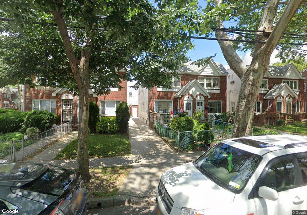
8305 133rd Ave Ozone Park, NY 11417
Ozone Park NeighborhoodEstimated Value: $677,190 - $764,000
--
Bed
--
Bath
1,216
Sq Ft
$607/Sq Ft
Est. Value
About This Home
This home is located at 8305 133rd Ave, Ozone Park, NY 11417 and is currently estimated at $738,048, approximately $606 per square foot. 8305 133rd Ave is a home located in Queens County with nearby schools including P.S. 63 - Old South, Robert H. Goddard High School, and Cypress Hills Ascend Charter Lower School.
Ownership History
Date
Name
Owned For
Owner Type
Purchase Details
Closed on
May 10, 2002
Sold by
Winters Gary
Bought by
Nguyen Thanh-Ho and John Shayla T
Current Estimated Value
Purchase Details
Closed on
Feb 11, 2000
Sold by
Azzurri Geremia J and Azzurri Noreen
Bought by
Winters Garry
Home Financials for this Owner
Home Financials are based on the most recent Mortgage that was taken out on this home.
Original Mortgage
$197,050
Interest Rate
8.4%
Mortgage Type
FHA
Create a Home Valuation Report for This Property
The Home Valuation Report is an in-depth analysis detailing your home's value as well as a comparison with similar homes in the area
Home Values in the Area
Average Home Value in this Area
Purchase History
| Date | Buyer | Sale Price | Title Company |
|---|---|---|---|
| Nguyen Thanh-Ho | -- | -- | |
| Winters Garry | $199,000 | Commonwealth Land Title Ins |
Source: Public Records
Mortgage History
| Date | Status | Borrower | Loan Amount |
|---|---|---|---|
| Previous Owner | Winters Garry | $197,050 |
Source: Public Records
Tax History Compared to Growth
Tax History
| Year | Tax Paid | Tax Assessment Tax Assessment Total Assessment is a certain percentage of the fair market value that is determined by local assessors to be the total taxable value of land and additions on the property. | Land | Improvement |
|---|---|---|---|---|
| 2025 | $6,317 | $33,336 | $9,313 | $24,023 |
| 2024 | $6,317 | $31,450 | $9,684 | $21,766 |
| 2023 | $6,286 | $30,954 | $9,037 | $21,917 |
| 2022 | $5,837 | $39,420 | $12,840 | $26,580 |
| 2021 | $6,153 | $40,680 | $12,840 | $27,840 |
| 2020 | $5,880 | $34,980 | $12,840 | $22,140 |
| 2019 | $5,482 | $29,940 | $12,840 | $17,100 |
| 2018 | $5,258 | $25,795 | $12,690 | $13,105 |
| 2017 | $4,967 | $24,364 | $12,210 | $12,154 |
| 2016 | $4,871 | $24,364 | $12,210 | $12,154 |
| 2015 | $2,552 | $23,150 | $12,608 | $10,542 |
| 2014 | $2,552 | $21,840 | $14,280 | $7,560 |
Source: Public Records
Map
Nearby Homes
- 132-36 84th St
- 13236 82nd St
- 132-20 82nd St
- 84-11 Sutter Ave
- 8509 Sutter Ave
- 133-42 86th St
- 84-28 108th Ave
- 108-04 86th St
- 10724 87th St
- 84-09 107th Ave
- 10714 80th St
- 132-18 89th St
- 133-24 78th St
- 84-11 106th Ave
- 84-07 Sutter Ave
- 8837 Pitkin Ave
- 105-34 86th St
- 10751 89th St
- 105-35 86th St
- 133-155 77th St
- 8307 133rd Ave
- 8303 133rd Ave
- 8309 133rd Ave
- 83-01 133rd Ave
- 83-01 133rd Ave Unit 2
- 8301 133rd Ave
- 8311 133rd Ave
- 13239 83rd St
- 13239 83rd St
- 8313 133rd Ave
- 132-37 83rd St
- 13237 83rd St
- 83-1 133rd Ave
- 8315 133rd Ave
- 132-35 83rd St
- 13235 83rd St
- 13238 84th St
- 8219 133rd Ave
- 8317 133rd Ave
- 8317 133rd Ave