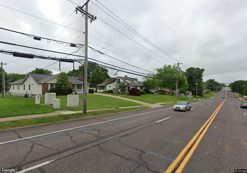
8305 S Laclede Station Rd Saint Louis, MO 63123
Estimated Value: $279,000 - $303,326
3
Beds
2
Baths
1,775
Sq Ft
$164/Sq Ft
Est. Value
About This Home
This home is located at 8305 S Laclede Station Rd, Saint Louis, MO 63123 and is currently estimated at $290,582, approximately $163 per square foot. 8305 S Laclede Station Rd is a home located in St. Louis County with nearby schools including Mesnier Primary School, Gotsch Intermediate School, and Rogers Middle School.
Ownership History
Date
Name
Owned For
Owner Type
Purchase Details
Closed on
May 8, 2008
Sold by
Gebert John A and Gebert Michelle
Bought by
Gebert John A and Revocabl Michelle Gebert
Current Estimated Value
Purchase Details
Closed on
Dec 5, 2007
Sold by
Gebert John A and Gebert Michelle
Bought by
Revocable Living Trust Of John A Gebert
Purchase Details
Closed on
Jul 9, 1998
Sold by
Arthur Gebert John
Bought by
Long H E and Long Mary
Create a Home Valuation Report for This Property
The Home Valuation Report is an in-depth analysis detailing your home's value as well as a comparison with similar homes in the area
Home Values in the Area
Average Home Value in this Area
Purchase History
| Date | Buyer | Sale Price | Title Company |
|---|---|---|---|
| Gebert John A | -- | None Available | |
| Revocable Living Trust Of John A Gebert | -- | None Available | |
| Long H E | -- | -- |
Source: Public Records
Tax History Compared to Growth
Tax History
| Year | Tax Paid | Tax Assessment Tax Assessment Total Assessment is a certain percentage of the fair market value that is determined by local assessors to be the total taxable value of land and additions on the property. | Land | Improvement |
|---|---|---|---|---|
| 2025 | $3,459 | $47,000 | $16,640 | $30,360 |
| 2024 | $3,459 | $42,680 | $11,100 | $31,580 |
| 2023 | $3,345 | $42,680 | $11,100 | $31,580 |
| 2022 | $3,210 | $37,300 | $12,220 | $25,080 |
| 2021 | $3,136 | $37,300 | $12,220 | $25,080 |
| 2020 | $2,582 | $28,610 | $9,820 | $18,790 |
| 2019 | $2,561 | $28,610 | $9,820 | $18,790 |
| 2018 | $2,317 | $22,860 | $8,970 | $13,890 |
| 2017 | $2,303 | $22,860 | $8,970 | $13,890 |
| 2016 | $2,616 | $27,670 | $9,940 | $17,730 |
| 2015 | $2,624 | $27,670 | $9,940 | $17,730 |
| 2014 | $3,088 | $32,470 | $8,300 | $24,170 |
Source: Public Records
Map
Nearby Homes
- 7243 General Sherman Ln
- 7452 Rockwood Dr
- 7123 Craighill Dr
- 8405 Rockhaven Ln
- 8215 General Sheridan Ln
- 7101 Fernbrook Dr
- 8415 Rockhaven Ln
- 7625 General Meade Ln
- 1405 Culverhill Dr
- 8261 Watson Rd
- 8853 Raleigh Dr
- 7424 Granbury Cir
- 8613 Carriage Way Dr
- 8875 Rock Forest Dr
- 7936 Radnor Dr
- 739 Hurstgreen Rd
- 7369 Whitehaven Dr
- 8400 New Hampshire Ave
- 6540 Lawnside Dr
- 8509 Grantshire Ln
- 8303 S Laclede Station Rd
- 8307 S Laclede Station Rd
- 8301 S Laclede Station Rd
- 7307 Cheshire Ln
- 7311 Cheshire Ln
- 7418 Brightwood Dr
- 8315 S Laclede Station Rd
- 7414 Brightwood Dr
- 8207 S Laclede Station Rd
- 7408 Brightwood Dr
- 8316 S Laclede Station Rd
- 7310 General Sherman Ln
- 7422 Brightwood Dr
- 7319 Cheshire Ln
- 7316 General Sherman Ln
- 8312 S Laclede Station Rd
- 7322 General Sherman Ln
- 8308 S Laclede Station Rd
- 7328 General Sherman Ln
- 8300 S Laclede Station Rd