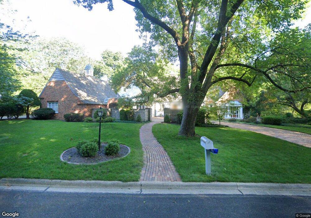
8307 N Bramberry Ln Peoria, IL 61615
North Peoria NeighborhoodEstimated Value: $289,474 - $970,000
3
Beds
4
Baths
6,097
Sq Ft
$110/Sq Ft
Est. Value
About This Home
This home is located at 8307 N Bramberry Ln, Peoria, IL 61615 and is currently estimated at $668,825, approximately $109 per square foot. 8307 N Bramberry Ln is a home located in Peoria County with nearby schools including Kellar Primary School, Liberty Leadership Middle School, and Richwoods High School.
Ownership History
Date
Name
Owned For
Owner Type
Purchase Details
Closed on
May 18, 2022
Sold by
Marlene S Campbell Revocable Trust
Bought by
Ms Campbell Enterprises Llc
Current Estimated Value
Purchase Details
Closed on
May 4, 2022
Sold by
Marlene S Campbell Revocable Trust
Bought by
Ms Campbell Enterprises Llc
Create a Home Valuation Report for This Property
The Home Valuation Report is an in-depth analysis detailing your home's value as well as a comparison with similar homes in the area
Home Values in the Area
Average Home Value in this Area
Purchase History
| Date | Buyer | Sale Price | Title Company |
|---|---|---|---|
| Ms Campbell Enterprises Llc | -- | Sutkowski Edward F | |
| Ms Campbell Enterprises Llc | -- | None Listed On Document | |
| Ms Campbell Enterprises Llc | -- | Sutkowski Edward F |
Source: Public Records
Tax History Compared to Growth
Tax History
| Year | Tax Paid | Tax Assessment Tax Assessment Total Assessment is a certain percentage of the fair market value that is determined by local assessors to be the total taxable value of land and additions on the property. | Land | Improvement |
|---|---|---|---|---|
| 2024 | $22,251 | $257,000 | $41,580 | $215,420 |
| 2023 | $21,149 | $235,780 | $38,150 | $197,630 |
| 2022 | $21,483 | $228,710 | $36,820 | $191,890 |
| 2021 | $21,058 | $217,820 | $35,070 | $182,750 |
| 2020 | $21,008 | $215,660 | $34,720 | $180,940 |
| 2019 | $21,325 | $220,060 | $35,430 | $184,630 |
| 2018 | $20,845 | $220,030 | $35,430 | $184,600 |
| 2017 | $20,847 | $222,250 | $35,790 | $186,460 |
| 2016 | $20,255 | $222,250 | $35,790 | $186,460 |
| 2015 | $19,406 | $217,890 | $35,090 | $182,800 |
| 2014 | $19,413 | $216,810 | $33,320 | $183,490 |
| 2013 | -- | $219,440 | $33,720 | $185,720 |
Source: Public Records
Map
Nearby Homes
- 414 W Timber Ridge Dr
- 620 W Mount Hawley Terrace
- 634 W Mount Hawley Terrace
- 230 W Detweiller Dr
- 936 W Trailcreek Dr Unit 936
- 7604 N Patton Ln Unit 4
- 7615 Walnut Bend Dr Unit 30
- 202 W Wolf Rd
- 7606 Walnut Bend Dr
- 7416 N Patton Ln
- 7408 N Brittany Park Place
- 7408 N Brittany Park Place Unit 8
- 9310 N Frye Rd
- 820 W Loire Ct Unit 109
- 468 E High Point Dr
- 1316 W Buckingham Dr
- 511 E High Point Place
- 0 E Koch Dr
- 1507 W Queens Court Rd
- 1511 W Queens Court Rd
- 8325 N Bramberry Ln
- 8318 N Bramberry Ln
- 414 W Detweiller Dr
- 435 W Detweiller Dr
- 443 W Detweiller Dr
- 8334 N Bramberry Ln
- 415-421 W Forrest Lawn Ave
- 415 W Forest Lawn Ave
- 444 W Detweiller Dr
- 448 W Detweiller Dr
- 447 W Detweiller Dr
- 425 W Forrest Lawn Ave
- 8339 N Bramberry Ln
- 451 W Detweiller Dr
- 355 W Detweiller Dr
- 502 W Detweiller Dr
- 503 W Forrest Lawn Ave
- 505 W Detweiller Dr
- 8141 N Crab Orchard Ct
- 510 W Detweiller Dr