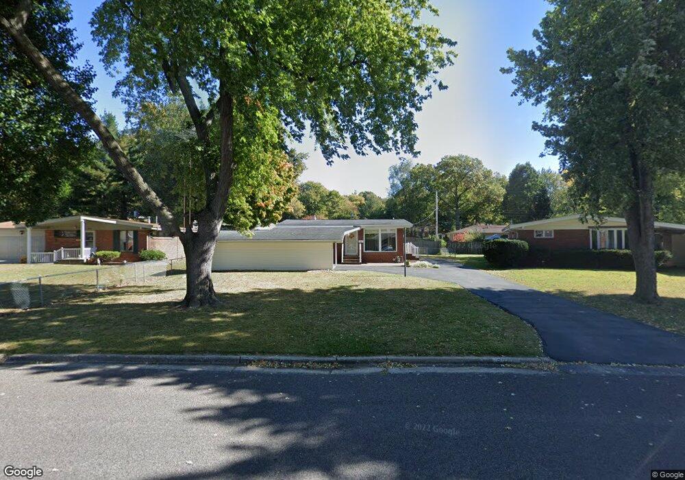
831 Amherst Dr East Alton, IL 62024
Estimated Value: $109,543 - $147,000
2
Beds
1
Bath
832
Sq Ft
$159/Sq Ft
Est. Value
About This Home
This home is located at 831 Amherst Dr, East Alton, IL 62024 and is currently estimated at $132,136, approximately $158 per square foot. 831 Amherst Dr is a home located in Madison County with nearby schools including Eastwood Elementary School, East Alton Middle School, and East Alton-Wood River High School.
Ownership History
Date
Name
Owned For
Owner Type
Purchase Details
Closed on
Jul 28, 2009
Sold by
Vandiver Larry N
Bought by
Vandiver Paula D
Current Estimated Value
Home Financials for this Owner
Home Financials are based on the most recent Mortgage that was taken out on this home.
Original Mortgage
$35,000
Interest Rate
5.49%
Mortgage Type
New Conventional
Create a Home Valuation Report for This Property
The Home Valuation Report is an in-depth analysis detailing your home's value as well as a comparison with similar homes in the area
Home Values in the Area
Average Home Value in this Area
Purchase History
| Date | Buyer | Sale Price | Title Company |
|---|---|---|---|
| Vandiver Paula D | -- | Serenity Title & Escrow Ltd |
Source: Public Records
Mortgage History
| Date | Status | Borrower | Loan Amount |
|---|---|---|---|
| Closed | Vandiver Paula D | $35,000 |
Source: Public Records
Tax History Compared to Growth
Tax History
| Year | Tax Paid | Tax Assessment Tax Assessment Total Assessment is a certain percentage of the fair market value that is determined by local assessors to be the total taxable value of land and additions on the property. | Land | Improvement |
|---|---|---|---|---|
| 2024 | $2,035 | $41,750 | $5,200 | $36,550 |
| 2023 | $2,035 | $38,920 | $4,850 | $34,070 |
| 2022 | $2,071 | $35,920 | $4,480 | $31,440 |
| 2021 | $2,271 | $33,480 | $4,180 | $29,300 |
| 2020 | $2,285 | $32,250 | $4,030 | $28,220 |
| 2019 | $2,332 | $31,290 | $3,910 | $27,380 |
| 2018 | $2,909 | $29,730 | $3,720 | $26,010 |
| 2017 | $2,726 | $29,020 | $3,630 | $25,390 |
| 2016 | $2,677 | $29,020 | $3,630 | $25,390 |
| 2015 | $2,561 | $28,710 | $3,590 | $25,120 |
| 2014 | $2,561 | $28,710 | $3,590 | $25,120 |
| 2013 | $2,561 | $29,120 | $3,640 | $25,480 |
Source: Public Records
Map
Nearby Homes
- 283 Hi Pointe Place
- 345 Illinois Ave
- 250 Hi Pointe Place
- 104 Whitelaw Ave
- 604 Wood River Ave
- 121 Whitelaw Ave
- 959 Cedar Dr
- 98 Wood River Ave
- 523 Lincoln Ave
- 523 Wilson Ave
- 133 Lincoln Ave
- 420 Bowman Ave
- 211 S 9th St
- 141 S 9th St
- 144 S 9th St
- 777 Condit St
- 833 State St
- 225 Lakeside Ave
- 209 Elble Ave
- 523 Broadway