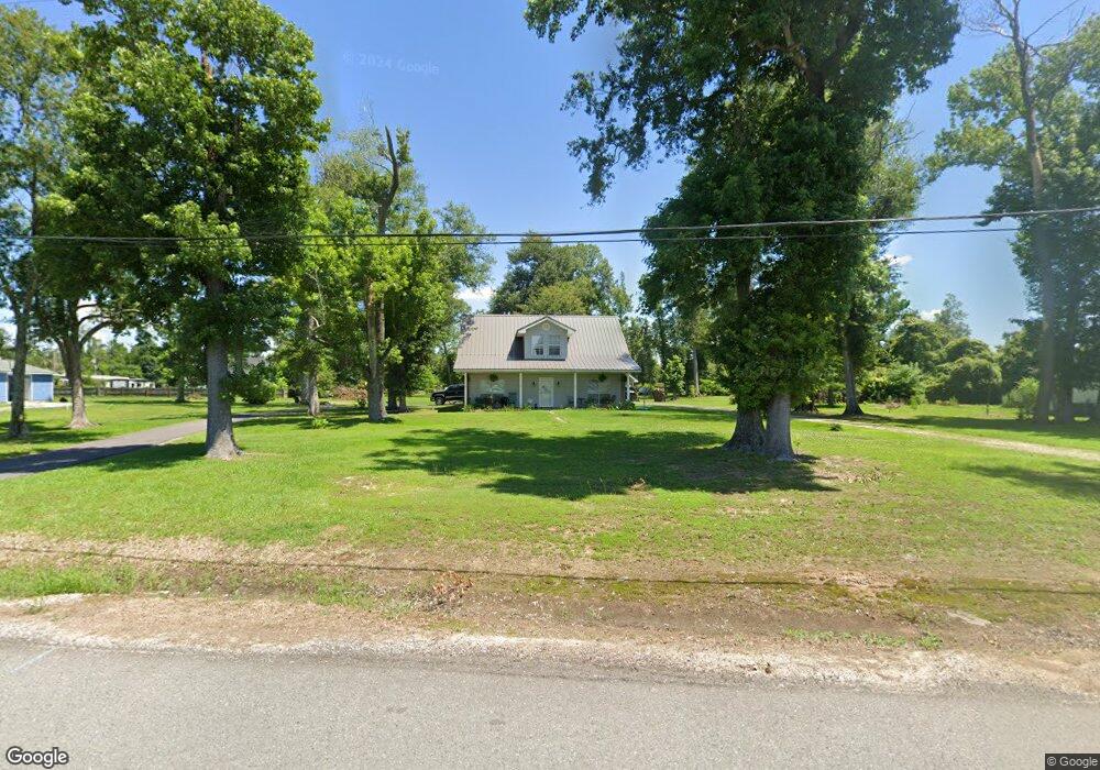
831 Bagdad Rd Westlake, LA 70669
Estimated Value: $211,000 - $280,000
--
Bed
--
Bath
--
Sq Ft
0.53
Acres
About This Home
This home is located at 831 Bagdad Rd, Westlake, LA 70669 and is currently estimated at $245,667. 831 Bagdad Rd is a home located in Calcasieu Parish with nearby schools including Westwood Elementary School, Western Heights Elementary School, and S.P. Arnett Middle School.
Ownership History
Date
Name
Owned For
Owner Type
Purchase Details
Closed on
Feb 3, 2020
Sold by
Savoie Joe Edward
Bought by
Lejeune Benton Alexander
Current Estimated Value
Home Financials for this Owner
Home Financials are based on the most recent Mortgage that was taken out on this home.
Original Mortgage
$151,515
Outstanding Balance
$134,461
Interest Rate
3.72%
Mortgage Type
New Conventional
Estimated Equity
$111,206
Create a Home Valuation Report for This Property
The Home Valuation Report is an in-depth analysis detailing your home's value as well as a comparison with similar homes in the area
Home Values in the Area
Average Home Value in this Area
Purchase History
| Date | Buyer | Sale Price | Title Company |
|---|---|---|---|
| Lejeune Benton Alexander | $15,000 | None Available |
Source: Public Records
Mortgage History
| Date | Status | Borrower | Loan Amount |
|---|---|---|---|
| Open | Lejeune Benton Alexander | $151,515 |
Source: Public Records
Tax History Compared to Growth
Tax History
| Year | Tax Paid | Tax Assessment Tax Assessment Total Assessment is a certain percentage of the fair market value that is determined by local assessors to be the total taxable value of land and additions on the property. | Land | Improvement |
|---|---|---|---|---|
| 2024 | $1,055 | $9,610 | $1,060 | $8,550 |
| 2023 | $1,055 | $9,610 | $1,060 | $8,550 |
| 2022 | $1,080 | $9,610 | $1,060 | $8,550 |
| 2021 | $1,053 | $9,610 | $1,060 | $8,550 |
| 2020 | $974 | $8,720 | $1,020 | $7,700 |
| 2019 | $1,101 | $9,530 | $980 | $8,550 |
| 2018 | $217 | $9,530 | $980 | $8,550 |
| 2017 | $1,051 | $9,530 | $980 | $8,550 |
| 2016 | $1,066 | $9,530 | $980 | $8,550 |
| 2015 | $1,066 | $9,530 | $980 | $8,550 |
Source: Public Records
Map
Nearby Homes
- 0 Mims Rd Unit SWL24003447
- 0 Mims Rd Unit Mims Rd 26-4577
- 1951 Riviera Dr
- 16 Riviera Dr
- 0 Riviera Dr Unit 26-4895
- 12 River Rd
- 0 Tbd Bagdad Rd
- 637 River Rd
- 601 River Rd
- 625 River Rd
- 649 River Rd
- 0 River Rd Unit SWL24005170
- 1931 Miller Ave
- 345 Fred Lutz Rd
- 0 River Road Island
- 0 Dewitt St
- 1416 Miller Ave
- 2406 Miller Ave
- 812 Miller Ave
- 2034 Gus St