831 Caney Fork Rd Marshall, NC 28753
Estimated Value: $2,128,000 - $2,836,241
Studio
1
Bath
4,919
Sq Ft
$502/Sq Ft
Est. Value
About This Home
This home is located at 831 Caney Fork Rd, Marshall, NC 28753 and is currently estimated at $2,467,414, approximately $501 per square foot. 831 Caney Fork Rd is a home located in Madison County with nearby schools including Madison Middle School.
Ownership History
Date
Name
Owned For
Owner Type
Purchase Details
Closed on
Oct 20, 2018
Sold by
Forte Michael A and Forte Eileenh E
Bought by
Dry Pond Lodge Llc
Current Estimated Value
Home Financials for this Owner
Home Financials are based on the most recent Mortgage that was taken out on this home.
Original Mortgage
$850,000
Interest Rate
4.6%
Mortgage Type
Purchase Money Mortgage
Purchase Details
Closed on
Mar 19, 1994
Bought by
Forte Michael A and Forte Eileen E
Create a Home Valuation Report for This Property
The Home Valuation Report is an in-depth analysis detailing your home's value as well as a comparison with similar homes in the area
Home Values in the Area
Average Home Value in this Area
Purchase History
| Date | Buyer | Sale Price | Title Company |
|---|---|---|---|
| Dry Pond Lodge Llc | $1,200,000 | None Available | |
| Forte Michael A | $140,000 | -- |
Source: Public Records
Mortgage History
| Date | Status | Borrower | Loan Amount |
|---|---|---|---|
| Closed | Dry Pond Lodge Llc | $850,000 |
Source: Public Records
Tax History
| Year | Tax Paid | Tax Assessment Tax Assessment Total Assessment is a certain percentage of the fair market value that is determined by local assessors to be the total taxable value of land and additions on the property. | Land | Improvement |
|---|---|---|---|---|
| 2024 | $6,096 | $2,148,064 | $613,192 | $1,534,872 |
| 2023 | $5,983 | $1,196,562 | $426,870 | $769,692 |
| 2022 | $5,983 | $1,196,562 | $426,870 | $769,692 |
| 2021 | $5,983 | $1,196,562 | $426,870 | $769,692 |
| 2020 | $5,983 | $1,196,562 | $426,870 | $769,692 |
| 2019 | $4,772 | $867,643 | $330,660 | $536,983 |
| 2018 | $4,512 | $0 | $0 | $0 |
| 2017 | $4,512 | $0 | $0 | $0 |
| 2016 | $4,512 | $0 | $0 | $0 |
| 2015 | -- | $0 | $0 | $0 |
| 2014 | -- | $867,643 | $330,660 | $536,983 |
| 2013 | -- | $867,643 | $330,660 | $536,983 |
Source: Public Records
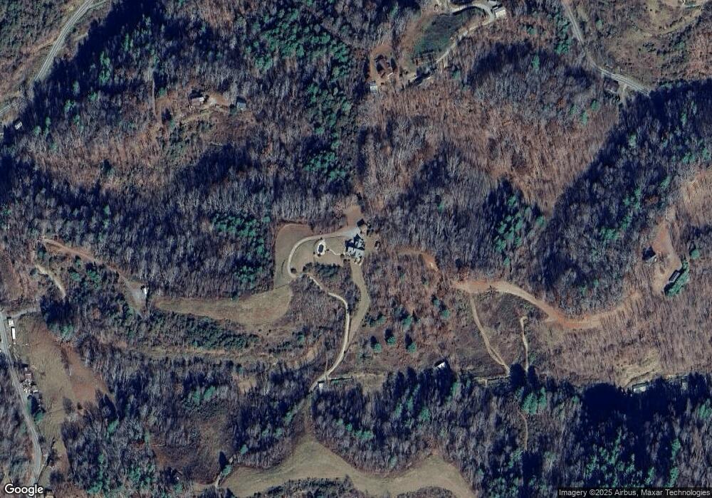
Map
Nearby Homes
- 2381 Little Pine Rd
- 170 Starry Night Ln
- 2033 Lower Paw Rd
- 23 Katies Rd Unit 145.95 acres
- 1045 & 1047 Graham Rd
- 550 Joe Payne Rd
- 356 Joe Payne Rd
- 99999 Baileys Branch Rd
- 1231 Baileys Branch Rd Unit 3
- 23 Katie's Rd
- 456 Rector Corner Rd
- 140 Rector Corner Cir
- 1126 Rector Corner Rd
- 00 Crist View Dr Unit Lot 12
- 0 Anderson Cove Rd
- 200 Dry Branch Rd
- 0000 Highland Creek Dr Unit 31
- 99999 Meadows Town Rd
- 99999 Secluded Valley Rd
- 55 & 119 Webb Dr
- 555 Dry Pond Rd
- 1225 Dry Pond Rd
- 320 Ball Dr
- 1191 Dry Pond Rd
- 198 Ball Dr
- 341 Caney Fork Rd
- 520 Caney Fork Rd
- 520 Caney Fork Rd
- 294 Ball Dr
- 999 Acorn Dr
- 9999 Acorn Dr
- 99999 Acorn Dr
- 462 Dry Pond Rd
- 288 Ball Dr
- 288 Ball Dr
- 9999 Caney Fork Rd
- 703 Dry Pond Rd
- 703 Dry Pond Rd
- 1065 Caney Fork Rd
- 400 Garnet Ridge
Your Personal Tour Guide
Ask me questions while you tour the home.