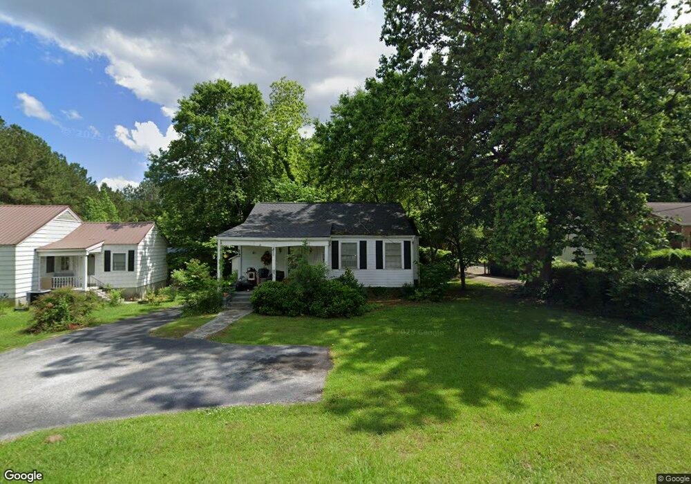
831 Cedar St Carrollton, GA 30117
Estimated Value: $208,868 - $266,000
4
Beds
1
Bath
1,166
Sq Ft
$202/Sq Ft
Est. Value
About This Home
This home is located at 831 Cedar St, Carrollton, GA 30117 and is currently estimated at $235,467, approximately $201 per square foot. 831 Cedar St is a home located in Carroll County with nearby schools including Carrollton Elementary School, Carrollton Upper Elementary School, and Carrollton Middle School.
Ownership History
Date
Name
Owned For
Owner Type
Purchase Details
Closed on
Feb 20, 2019
Sold by
Adams Merrelyn
Bought by
Adams Family Real Estate Iii Llc
Current Estimated Value
Purchase Details
Closed on
Mar 20, 2000
Sold by
Houseworth Marcelle The Estate Of
Bought by
Adams Kenneth W
Purchase Details
Closed on
Jul 30, 1994
Sold by
Housworth Mrs M T
Bought by
Houseworth Marcelle
Purchase Details
Closed on
Dec 27, 1982
Bought by
Housworth Mrs M T
Create a Home Valuation Report for This Property
The Home Valuation Report is an in-depth analysis detailing your home's value as well as a comparison with similar homes in the area
Home Values in the Area
Average Home Value in this Area
Purchase History
| Date | Buyer | Sale Price | Title Company |
|---|---|---|---|
| Adams Family Real Estate Iii Llc | -- | -- | |
| Adams Kenneth W | $57,000 | -- | |
| Houseworth Marcelle | -- | -- | |
| Housworth Mrs M T | -- | -- |
Source: Public Records
Tax History
| Year | Tax Paid | Tax Assessment Tax Assessment Total Assessment is a certain percentage of the fair market value that is determined by local assessors to be the total taxable value of land and additions on the property. | Land | Improvement |
|---|---|---|---|---|
| 2025 | $1,979 | $74,746 | $21,669 | $53,077 |
| 2024 | $2,042 | $74,746 | $21,669 | $53,077 |
| 2023 | $2,042 | $69,930 | $21,669 | $48,261 |
| 2022 | $1,552 | $53,173 | $14,436 | $38,737 |
| 2021 | $1,281 | $43,880 | $10,682 | $33,198 |
| 2020 | $1,191 | $40,750 | $10,682 | $30,068 |
| 2019 | $1,318 | $44,702 | $16,000 | $28,702 |
| 2018 | $1,308 | $43,716 | $16,000 | $27,716 |
| 2017 | $1,315 | $43,716 | $16,000 | $27,716 |
| 2016 | $747 | $24,676 | $9,170 | $15,506 |
| 2015 | $907 | $29,356 | $9,170 | $20,186 |
| 2014 | $911 | $29,356 | $9,170 | $20,186 |
Source: Public Records
Map
Nearby Homes
- 113 Oxford Square
- 103 Deese Ct
- 201 Stewart St
- 322 Cedar St
- 114 Green Point Way
- 320 West Ave
- 230 West Ave
- 230 West Ave Unit 5
- 111 Green Point Way
- 738 Burns Rd
- 325 Almon Rd
- 541 N White St Unit 12
- 541 N White St Unit 11
- 541 N White St
- 209 Hill Dr
- 403 Burns Rd
- 107 College St
- 406 Harmon Ave
- 809 College St
- 107 Grove Park Dr
Your Personal Tour Guide
Ask me questions while you tour the home.