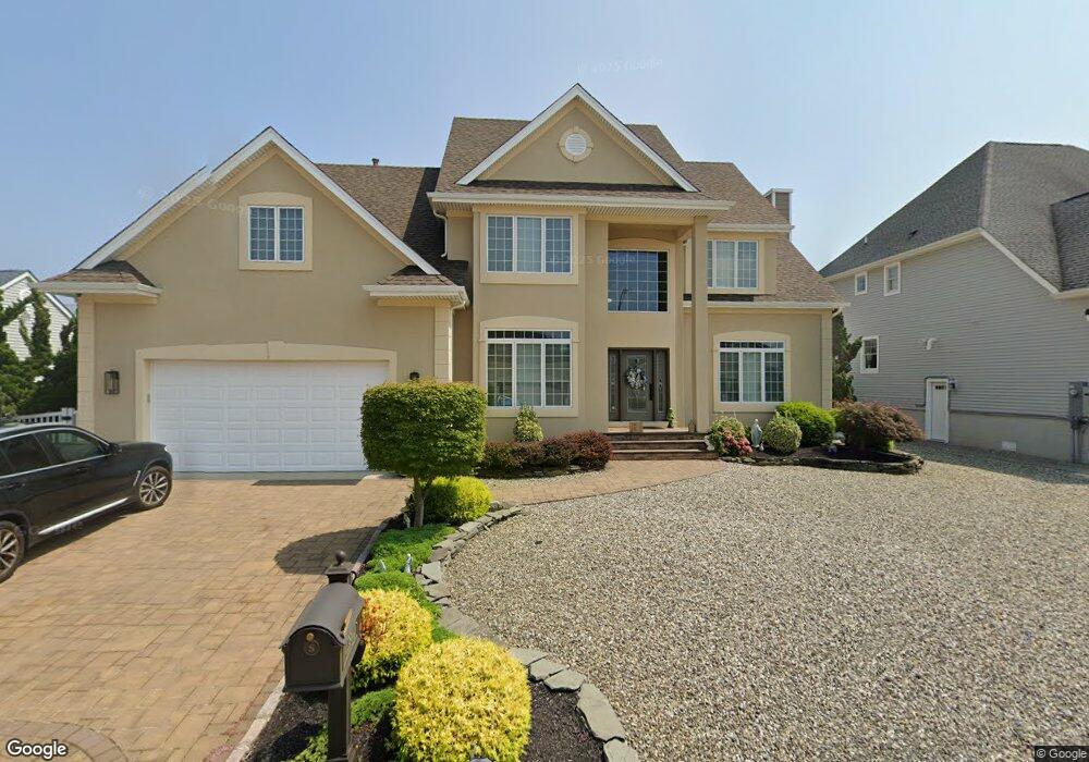
831 Ensign Dr Forked River, NJ 08731
Estimated Value: $1,220,969 - $1,627,000
4
Beds
3
Baths
3,100
Sq Ft
$441/Sq Ft
Est. Value
About This Home
This home is located at 831 Ensign Dr, Forked River, NJ 08731 and is currently estimated at $1,366,492, approximately $440 per square foot. 831 Ensign Dr is a home located in Ocean County with nearby schools including Lacey Township High School.
Ownership History
Date
Name
Owned For
Owner Type
Purchase Details
Closed on
Jul 2, 2008
Sold by
Rossi Thomas
Bought by
Sciacca Mario and Sciacca Anna Maria
Current Estimated Value
Home Financials for this Owner
Home Financials are based on the most recent Mortgage that was taken out on this home.
Original Mortgage
$417,000
Outstanding Balance
$270,380
Interest Rate
6.17%
Mortgage Type
Purchase Money Mortgage
Estimated Equity
$1,096,112
Purchase Details
Closed on
Nov 3, 1997
Sold by
Sunrise Pointe Lp
Bought by
Rossi Thomas
Create a Home Valuation Report for This Property
The Home Valuation Report is an in-depth analysis detailing your home's value as well as a comparison with similar homes in the area
Home Values in the Area
Average Home Value in this Area
Purchase History
| Date | Buyer | Sale Price | Title Company |
|---|---|---|---|
| Sciacca Mario | $725,000 | Fidelity Natl Title Ins Co | |
| Rossi Thomas | $127,000 | -- |
Source: Public Records
Mortgage History
| Date | Status | Borrower | Loan Amount |
|---|---|---|---|
| Open | Sciacca Mario | $417,000 |
Source: Public Records
Tax History
| Year | Tax Paid | Tax Assessment Tax Assessment Total Assessment is a certain percentage of the fair market value that is determined by local assessors to be the total taxable value of land and additions on the property. | Land | Improvement |
|---|---|---|---|---|
| 2025 | $17,072 | $673,700 | $293,300 | $380,400 |
| 2024 | $15,960 | $673,700 | $293,300 | $380,400 |
| 2023 | $15,246 | $673,700 | $293,300 | $380,400 |
| 2022 | $15,246 | $673,700 | $293,300 | $380,400 |
| 2021 | $14,990 | $673,700 | $293,300 | $380,400 |
| 2020 | $14,512 | $673,700 | $293,300 | $380,400 |
| 2019 | $14,255 | $673,700 | $293,300 | $380,400 |
| 2018 | $14,087 | $673,700 | $293,300 | $380,400 |
| 2017 | $13,764 | $673,700 | $293,300 | $380,400 |
| 2016 | $13,710 | $673,700 | $293,300 | $380,400 |
| 2015 | $13,097 | $673,700 | $293,300 | $380,400 |
| 2014 | $12,055 | $700,900 | $363,300 | $337,600 |
Source: Public Records
Map
Nearby Homes
- 814 Ensign Dr
- 1025 Capstan Dr
- 986 Capstan Dr
- 0 Windward Dr Unit NJOC2039288
- 0 Windward Dr Unit 22601526
- 915 Shenandoah Dr
- 709 Richmond Dr
- 510 Conifer Dr
- 1407 Riverview Dr
- 1029 Bowsprit Point
- 308 Pine Forest Ln
- 1600 Beach Blvd
- 1407 Hilo Bay Dr
- 330 Riviera Dr
- 1005 Plimsoll Point
- 606 Bowsprit Point
- 1609 Tamiami Rd
- 826 Hazelton Ave
- 207 Sunset Dr
- 320 Cedar Dr
Your Personal Tour Guide
Ask me questions while you tour the home.