831 Estabrook Rd Amity, ME 04471
Estimated Value: $57,000 - $120,000
3
Beds
2
Baths
1,200
Sq Ft
$76/Sq Ft
Est. Value
About This Home
This home is located at 831 Estabrook Rd, Amity, ME 04471 and is currently estimated at $90,764, approximately $75 per square foot. 831 Estabrook Rd is a home located in Aroostook County with nearby schools including Mill Pond School and Hodgdon Middle/High School.
Ownership History
Date
Name
Owned For
Owner Type
Purchase Details
Closed on
Feb 14, 2023
Sold by
Arnott Lorraine and Arnott Samantha
Bought by
Arnott Lorraine and Arnott Samantha
Current Estimated Value
Purchase Details
Closed on
Dec 30, 2022
Sold by
Patel Sanjay
Bought by
Arnott Lorraine and Arnott Samantha
Purchase Details
Closed on
Aug 18, 2016
Sold by
Patel Sanjay
Bought by
Juma Management Llc
Purchase Details
Closed on
Mar 30, 2012
Sold by
Lorraine S Arnott Ret and Arnott
Bought by
Patel Sanjay
Purchase Details
Closed on
Jul 17, 2009
Sold by
Arnott Lorraine S
Bought by
Lorraine S Arnott Ret and Arnott
Create a Home Valuation Report for This Property
The Home Valuation Report is an in-depth analysis detailing your home's value as well as a comparison with similar homes in the area
Home Values in the Area
Average Home Value in this Area
Purchase History
| Date | Buyer | Sale Price | Title Company |
|---|---|---|---|
| Arnott Lorraine | -- | None Available | |
| Arnott Lorraine | $42,000 | None Available | |
| Arnott Lorraine | $42,000 | None Available | |
| Juma Management Llc | -- | -- | |
| Juma Management Llc | -- | -- | |
| Patel Sanjay | -- | -- | |
| Patel Sanjay | -- | -- | |
| Patel Sanjay | -- | -- | |
| Lorraine S Arnott Ret | -- | -- | |
| Lorraine S Arnott Ret | -- | -- |
Source: Public Records
Mortgage History
| Date | Status | Borrower | Loan Amount |
|---|---|---|---|
| Previous Owner | Lorraine S Arnott Ret | $91,551 | |
| Previous Owner | Lorraine S Arnott Ret | $27,249 |
Source: Public Records
Tax History Compared to Growth
Tax History
| Year | Tax Paid | Tax Assessment Tax Assessment Total Assessment is a certain percentage of the fair market value that is determined by local assessors to be the total taxable value of land and additions on the property. | Land | Improvement |
|---|---|---|---|---|
| 2024 | $869 | $46,700 | $14,100 | $32,600 |
| 2023 | $962 | $46,700 | $14,100 | $32,600 |
| 2022 | $878 | $46,700 | $14,100 | $32,600 |
| 2021 | $887 | $46,700 | $14,100 | $32,600 |
| 2020 | $875 | $46,680 | $14,100 | $32,580 |
| 2019 | $910 | $46,680 | $14,100 | $32,580 |
| 2018 | $868 | $46,680 | $14,100 | $32,580 |
| 2017 | $840 | $46,680 | $14,100 | $32,580 |
| 2016 | $840 | $46,680 | $14,100 | $32,580 |
| 2015 | $817 | $46,680 | $14,100 | $32,580 |
| 2014 | $803 | $46,680 | $14,100 | $32,580 |
| 2013 | $924 | $55,000 | $14,100 | $40,900 |
Source: Public Records
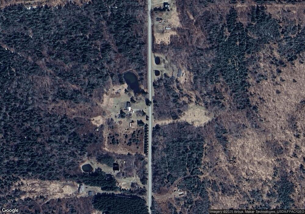
Map
Nearby Homes
- Lot 6A Estabrook Rd
- Lot#2 Cone Rd
- 91 Greenleaf Brook Rd
- 823 U S 1
- 0 Estabrook Rd Unit 6 A 24590594
- 2015 U S Route 1
- 0 Wilcox Rd Unit 1613468
- 17 MacAllister Ln
- Lot 39 Rd
- Lot 27 Brewer Rd
- 913 Skedgell Rd
- 55 Our Ln
- 1694 U S Route 1
- 178 School House Rd
- 0 Beaver Ln Unit 1615025
- 72 51725 Rd
- 0 Fire Rd Unit 39-4 24207976
- 3157 Military St
- Lot 37A Fire Rd
- 1088 Fire Rd
- 818 Estabrook Rd
- Lot 6C Estabrook Rd
- 1-B Estabrook Rd
- 792 Estabrook Rd
- 857 Estabrook Rd
- 853 Estabrook Rd
- Lot 63A Estrabrook Rd
- 871 Estabrook Rd
- 768 Estabrook Rd
- 890 Estabrook Rd
- 740 Estabrook Rd
- 786 Estabrook Rd
- 899 Estabrook Rd
- 899 Estabrook Rd
- 710 Estabrook Rd
- 940 Estabrook Rd
- 969 Estabrook Rd
- 982 Estabrook Rd
- 980 Estabrook Rd
- 996 Estabrook Rd