831 Kays Point Rd Lake Ozark, MI 65049
Estimated Value: $336,000 - $393,000
3
Beds
2
Baths
1,434
Sq Ft
$248/Sq Ft
Est. Value
About This Home
This home is located at 831 Kays Point Rd, Lake Ozark, MI 65049 and is currently estimated at $356,261, approximately $248 per square foot. 831 Kays Point Rd is a home with nearby schools including Heritage Elementary School, Osage Upper Elementary School, and Osage Middle School.
Ownership History
Date
Name
Owned For
Owner Type
Purchase Details
Closed on
Dec 20, 2019
Sold by
Dieterich Bk Na
Bought by
Lewellen Richard D
Current Estimated Value
Home Financials for this Owner
Home Financials are based on the most recent Mortgage that was taken out on this home.
Original Mortgage
$170,000
Outstanding Balance
$150,172
Interest Rate
3.7%
Mortgage Type
Construction
Estimated Equity
$206,089
Purchase Details
Closed on
Sep 1, 2006
Bought by
Krantz Bradley M
Create a Home Valuation Report for This Property
The Home Valuation Report is an in-depth analysis detailing your home's value as well as a comparison with similar homes in the area
Home Values in the Area
Average Home Value in this Area
Purchase History
| Date | Buyer | Sale Price | Title Company |
|---|---|---|---|
| Lewellen Richard D | $166,600 | Arrowhead Title Co | |
| Krantz Bradley M | -- | -- |
Source: Public Records
Mortgage History
| Date | Status | Borrower | Loan Amount |
|---|---|---|---|
| Open | Lewellen Richard D | $170,000 |
Source: Public Records
Tax History Compared to Growth
Tax History
| Year | Tax Paid | Tax Assessment Tax Assessment Total Assessment is a certain percentage of the fair market value that is determined by local assessors to be the total taxable value of land and additions on the property. | Land | Improvement |
|---|---|---|---|---|
| 2023 | $1,140 | $21,340 | $0 | $0 |
| 2022 | $1,140 | $21,340 | $0 | $0 |
| 2021 | $1,140 | $21,340 | $0 | $0 |
| 2020 | $1,131 | $21,030 | $0 | $0 |
| 2019 | $1,128 | $21,030 | $0 | $0 |
| 2018 | $1,133 | $21,030 | $0 | $0 |
| 2017 | $1,027 | $21,030 | $0 | $0 |
| 2016 | $1,007 | $21,030 | $0 | $0 |
| 2015 | $982 | $21,030 | $0 | $0 |
| 2014 | $961 | $21,030 | $0 | $0 |
| 2013 | -- | $21,220 | $0 | $0 |
Source: Public Records
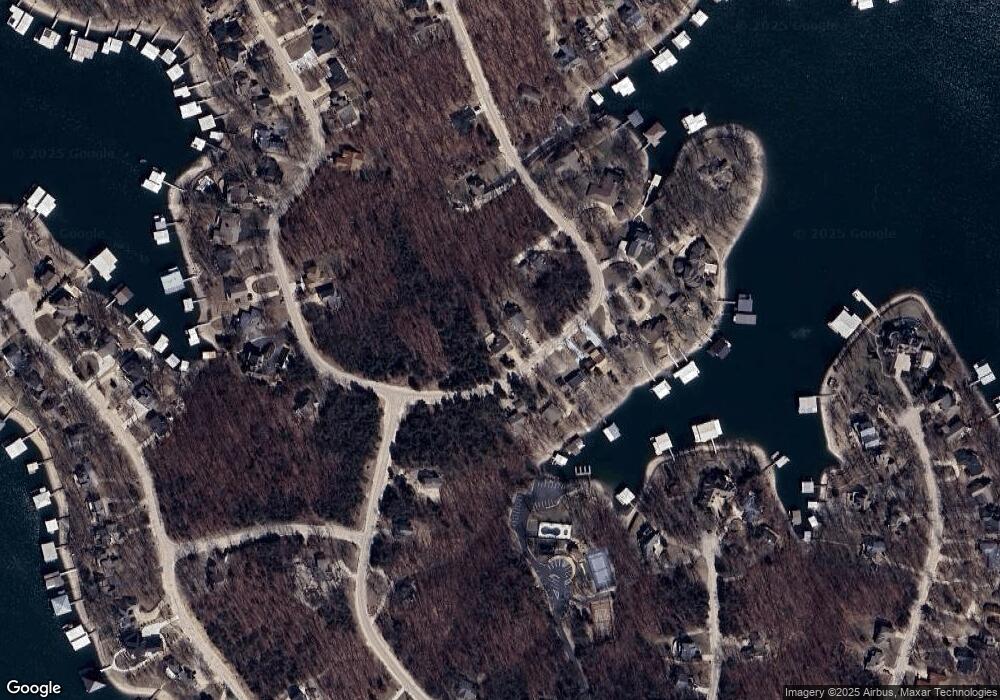
Map
Nearby Homes
- 1161 Kays Point Rd
- Lot 112 Kays Point Rd
- Lot 198 Kays Point Rd
- 114 Timber Ridge Ln
- 54 Timber Ridge Ln
- Lot 109 Kays Point
- 412 Crown Point Dr
- Lot 479 Parker Point
- 1078 Cornett Branch Rd
- Lot 453 Linn Creek Rd
- Lot 32 Linn Creek Rd
- Lot 1018 Linn Creek Rd
- Lot 950 & 949 Linn Creek Rd
- LOT 87 Linn Creek Rd
- Lot 29 Cornett Dr
- Lot 35 Cornett Dr
- Lot 489 Parker Pt Rd
- 1354 Linn Creek Rd
- 267 Cornett Branch Rd
- 432 Cornett Branch Rd
- 831 W Kays Point Rd
- 849 Kays Point Rd
- 828 Kays Point Rd
- 854 Kays Point Rd
- 842 Kays Point Rd
- 828 W Kays Point Rd
- 945 Kays Point Rd
- 945 Kays Point Rd
- 870 Kays Point Rd
- 945 Kays Point Rd
- 945 W Kays Point Rd Unit 4
- Lot 325 Kay's Point
- 327 Kay's Point
- 325-327 Kay's Point
- 326 Kay's Point
- 1035 E Kays Point Rd
- 793 Kay's Point #2 Point
- 1054 Kays Point Rd
- 892 Kays Point Rd
- 892 Kays Point Rd