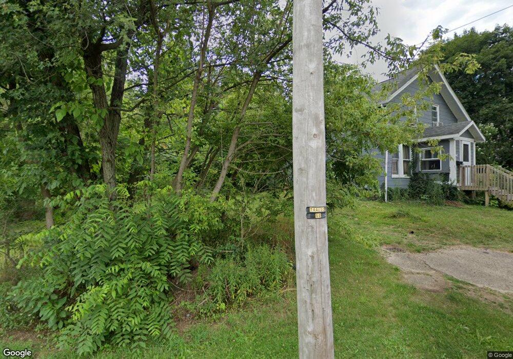
831 Walnut Ave Alliance, OH 44601
Estimated Value: $68,000 - $115,416
5
Beds
1
Bath
1,512
Sq Ft
$62/Sq Ft
Est. Value
About This Home
This home is located at 831 Walnut Ave, Alliance, OH 44601 and is currently estimated at $93,854, approximately $62 per square foot. 831 Walnut Ave is a home located in Stark County with nearby schools including Alliance Early Learning School, Alliance Intermediate School at Northside, and Alliance Middle School.
Ownership History
Date
Name
Owned For
Owner Type
Purchase Details
Closed on
May 28, 2021
Sold by
Woolf Troy A
Bought by
Bean Curtis and Seich Kendra M
Current Estimated Value
Home Financials for this Owner
Home Financials are based on the most recent Mortgage that was taken out on this home.
Original Mortgage
$54,003
Outstanding Balance
$48,969
Interest Rate
3%
Mortgage Type
FHA
Estimated Equity
$44,885
Purchase Details
Closed on
Jun 23, 2017
Sold by
Lowe Katie Lynne
Bought by
Woolf Troy A
Create a Home Valuation Report for This Property
The Home Valuation Report is an in-depth analysis detailing your home's value as well as a comparison with similar homes in the area
Home Values in the Area
Average Home Value in this Area
Purchase History
| Date | Buyer | Sale Price | Title Company |
|---|---|---|---|
| Bean Curtis | $55,000 | Chicago Title Insurance Co | |
| Woolf Troy A | $120 | None Available |
Source: Public Records
Mortgage History
| Date | Status | Borrower | Loan Amount |
|---|---|---|---|
| Open | Bean Curtis | $54,003 |
Source: Public Records
Tax History
| Year | Tax Paid | Tax Assessment Tax Assessment Total Assessment is a certain percentage of the fair market value that is determined by local assessors to be the total taxable value of land and additions on the property. | Land | Improvement |
|---|---|---|---|---|
| 2025 | -- | $23,670 | $8,930 | $14,740 |
| 2024 | -- | $23,670 | $8,930 | $14,740 |
| 2023 | $667 | $16,600 | $4,520 | $12,080 |
| 2022 | $672 | $16,600 | $4,520 | $12,080 |
| 2021 | $318 | $16,600 | $4,520 | $12,080 |
| 2020 | $35 | $9,560 | $3,260 | $6,300 |
| 2019 | $12 | $9,040 | $3,260 | $5,780 |
Source: Public Records
Map
Nearby Homes
- 849 Walnut Ave
- 710 N Freedom Ave
- 11344 Walnut Ave NE
- 505 N Union Ave
- 717 Garfield Ave
- 15832 Waverly St NE
- 361 E Main St
- 1015 Reed St
- 1025 Reed St
- 62 E Market St
- 847 E Patterson St
- 16190 River St NE
- 171 1/2 W Main St
- 163 W Market St
- 1226 Noble St
- 264 W Market St
- 33 S Lincoln Ave
- V/L S Freedom Ave
- 000 Meadowbrook Ave
- 11584 Rockhill Ave NE
- 815 Walnut Ave
- 830 Walnut Ave
- 316 E Perry St
- 818 Walnut Ave
- 223 E Perry St
- 806 Walnut Ave
- 0 Walnut Ave
- 761 Walnut Ave
- 940 Walnut Ave
- 149 E Perry St
- 743 Walnut Ave
- 743 Walnut Ave Unit 4
- 743 745 Walnut Ave Unit 4
- 255 E Perry St
- 737 Walnut Ave
- 128 E Perry St
- 748 Walnut Ave
- 950 Walnut Ave
- 740 Garrison Ave
- 120 E Perry St
Your Personal Tour Guide
Ask me questions while you tour the home.