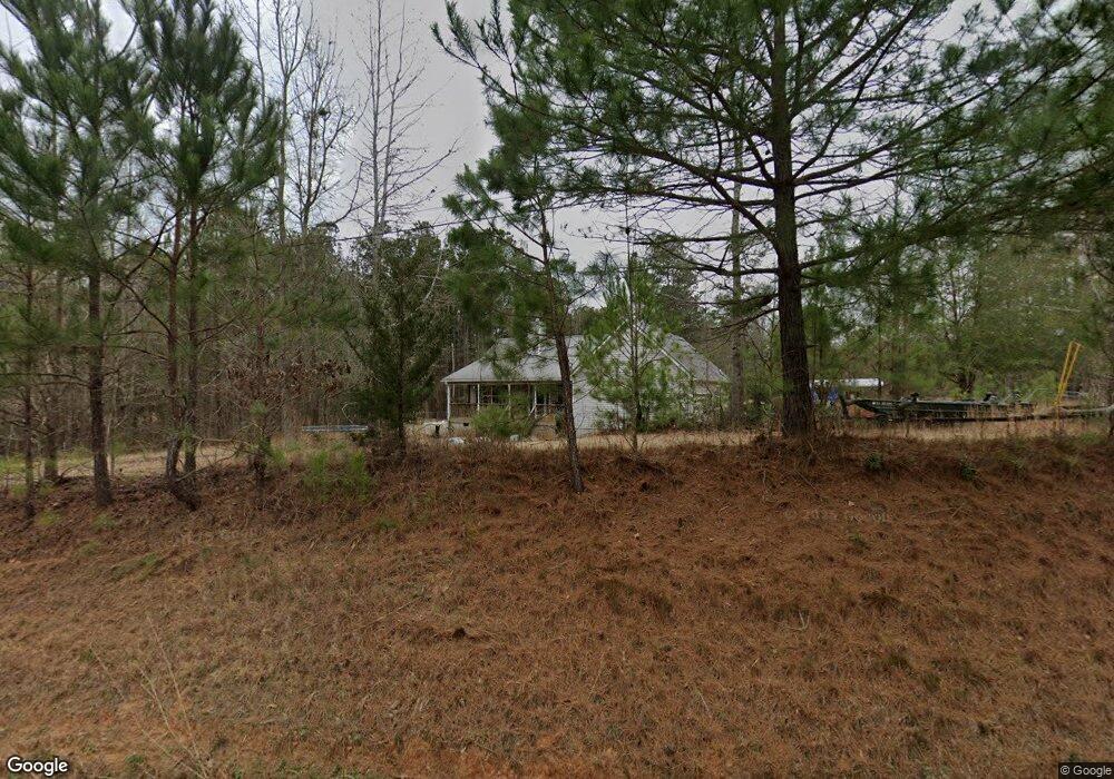
831 Westbrooks Rd Forsyth, GA 31029
Estimated Value: $260,488 - $283,000
3
Beds
2
Baths
1,592
Sq Ft
$171/Sq Ft
Est. Value
About This Home
This home is located at 831 Westbrooks Rd, Forsyth, GA 31029 and is currently estimated at $271,829, approximately $170 per square foot. 831 Westbrooks Rd is a home located in Monroe County with nearby schools including Katherine B. Sutton Elementary School and Mary Persons High School.
Ownership History
Date
Name
Owned For
Owner Type
Purchase Details
Closed on
Sep 28, 2005
Sold by
Stonethree Properties Llc
Bought by
Ramage Steven S
Current Estimated Value
Home Financials for this Owner
Home Financials are based on the most recent Mortgage that was taken out on this home.
Original Mortgage
$130,862
Outstanding Balance
$84,702
Interest Rate
9.3%
Mortgage Type
New Conventional
Estimated Equity
$187,127
Create a Home Valuation Report for This Property
The Home Valuation Report is an in-depth analysis detailing your home's value as well as a comparison with similar homes in the area
Home Values in the Area
Average Home Value in this Area
Purchase History
| Date | Buyer | Sale Price | Title Company |
|---|---|---|---|
| Ramage Steven S | $137,750 | -- |
Source: Public Records
Mortgage History
| Date | Status | Borrower | Loan Amount |
|---|---|---|---|
| Open | Ramage Steven S | $130,862 |
Source: Public Records
Tax History Compared to Growth
Tax History
| Year | Tax Paid | Tax Assessment Tax Assessment Total Assessment is a certain percentage of the fair market value that is determined by local assessors to be the total taxable value of land and additions on the property. | Land | Improvement |
|---|---|---|---|---|
| 2024 | $1,417 | $62,320 | $14,520 | $47,800 |
| 2023 | $1,359 | $54,360 | $14,520 | $39,840 |
| 2022 | $1,147 | $54,360 | $14,520 | $39,840 |
| 2021 | $1,187 | $54,360 | $14,520 | $39,840 |
| 2020 | $1,133 | $51,440 | $11,600 | $39,840 |
| 2019 | $1,142 | $51,440 | $11,600 | $39,840 |
| 2018 | $1,146 | $51,440 | $11,600 | $39,840 |
| 2017 | $1,495 | $51,440 | $11,600 | $39,840 |
| 2016 | $1,090 | $51,440 | $11,600 | $39,840 |
| 2015 | $1,110 | $54,360 | $14,520 | $39,840 |
| 2014 | $1,072 | $54,360 | $14,520 | $39,840 |
Source: Public Records
Map
Nearby Homes
- 739 Westbrooks Rd
- 353 Weldon Rd
- 837 Weldon Rd
- 401 Towaliga Trail
- 49 Stokes Store Rd Unit 49
- 49 Stokes Store Rd
- 2489 Boxankle Rd
- LOT 48 Stokes Store Rd
- 2760 Boxankle Rd
- 0 Garr Rd Unit 10439858
- 114 Tee Dr
- 2754 Boxankle Rd
- 205 Chastain Dr
- 0 Towaliga South Rd
- 0 Duncan Cir Unit 24915548
- 130 Heights Ave
- 120 Heights Ave
- 3862 Boxankle Rd
- 200 Crescent Dr
- 104 Chase Ln
- 848 Westbrooks Rd
- 851 Westbrooks Rd
- 781 Westbrooks Rd
- 941 Westbrooks Rd
- 881 Westbrooks Rd
- 799 Westbrooks Rd
- 929 Westbrooks Rd
- 945 Westbrooks Rd
- 176 Tyler Dr
- 529 Weldon Rd
- 687 Weldon Rd
- 607 Weldon Rd
- 102 Wesley Ct
- 693 Weldon Rd
- 138 Towaliga Rd
- 741 Weldon Rd
- 578 Weldon Rd
- 141 Tyler Dr
- 237 Tyler Dr Unit 35
- 757 Weldon Rd