Estimated Value: $464,155
--
Bed
1
Bath
1,070
Sq Ft
$434/Sq Ft
Est. Value
About This Home
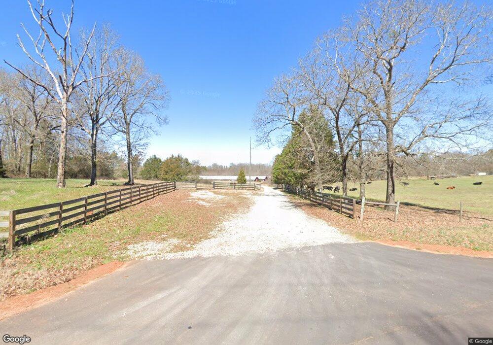
This home is located at 8315 Highway 172, Comer, GA 30629 and is currently estimated at $464,155, approximately $433 per square foot. 8315 Highway 172 is a home located in Madison County with nearby schools including Madison County High School.
Ownership History
Date
Name
Owned For
Owner Type
Purchase Details
Closed on
Jul 10, 2020
Sold by
Stepping Stone Holdings Llc
Bought by
Cox John J and Cox Heather N
Current Estimated Value
Home Financials for this Owner
Home Financials are based on the most recent Mortgage that was taken out on this home.
Original Mortgage
$283,386
Interest Rate
3.2%
Mortgage Type
New Conventional
Purchase Details
Closed on
Sep 19, 2019
Sold by
Smith Land & Cattle Co Inc
Bought by
Stepping Stone Holdings Llc
Purchase Details
Closed on
Aug 26, 2011
Sold by
Aggeorgia Farm Credit Aca
Bought by
Smith Land & Cattle Company Inc
Purchase Details
Closed on
Aug 3, 2010
Sold by
Bui Loan T
Bought by
Aggeorgia Farm Credit Aca
Create a Home Valuation Report for This Property
The Home Valuation Report is an in-depth analysis detailing your home's value as well as a comparison with similar homes in the area
Home Values in the Area
Average Home Value in this Area
Purchase History
| Date | Buyer | Sale Price | Title Company |
|---|---|---|---|
| Cox John J | $295,000 | -- | |
| Stepping Stone Holdings Llc | $220 | -- | |
| Smith Land & Cattle Company Inc | $74,800 | -- | |
| Aggeorgia Farm Credit Aca | $467,950 | -- |
Source: Public Records
Mortgage History
| Date | Status | Borrower | Loan Amount |
|---|---|---|---|
| Closed | Cox John J | $283,386 |
Source: Public Records
Tax History Compared to Growth
Tax History
| Year | Tax Paid | Tax Assessment Tax Assessment Total Assessment is a certain percentage of the fair market value that is determined by local assessors to be the total taxable value of land and additions on the property. | Land | Improvement |
|---|---|---|---|---|
| 2024 | $2,586 | $158,658 | $68,943 | $89,715 |
| 2023 | $4,843 | $158,658 | $68,943 | $89,715 |
| 2022 | $2,725 | $139,129 | $49,414 | $89,715 |
| 2021 | $2,834 | $126,747 | $37,032 | $89,715 |
| 2020 | $1,879 | $84,599 | $34,051 | $50,548 |
| 2019 | $2,264 | $96,502 | $34,051 | $62,451 |
| 2018 | $2,256 | $96,241 | $34,051 | $62,190 |
| 2017 | $1,503 | $52,185 | $33,701 | $18,484 |
| 2016 | $806 | $52,066 | $33,701 | $18,365 |
| 2015 | $800 | $52,066 | $33,701 | $18,365 |
| 2014 | $1,506 | $52,120 | $33,701 | $18,419 |
| 2013 | -- | $52,120 | $33,701 | $18,419 |
Source: Public Records
Map
Nearby Homes
- 2970 Davids Home Church Rd
- 288 Katie Beth Rd
- 1348 Barwick Hill Rd
- 01 Cherokee Rd
- 0 Hwy 191 Unit CL339505
- 0 Paoli Rd Unit 23882833
- 1458 & 1463 Parham Town Rd
- 2660 Parham Town Rd
- 3334 Cherokee Rd
- 6356 Highway 191
- 6356 Georgia 191
- 1255 Seymour Rd
- 1257 Seymour Rd
- 1825 Seymour Rd
- 0 Georgia 191
- 75 Gunnell Rd
- 0 Poss Rd Unit 11540856
- 0 Poss Rd Unit 24045642
- 0 Dusty Rd Unit 10569563
- 0 Dusty Rd Unit 7619983
- 8217 Georgia 172
- 8397 Highway 172
- 8190 Highway 172
- 8190 Highway 172
- 8190 Georgia 172
- 8093 Highway 172
- 8093 Highway 172
- 8619 Highway 172
- 8605 Highway 172
- 612 Longbranch Rd
- 8140 Highway 172
- 8140 Highway 172
- 9009 Highway 172
- 8943 Highway 172
- 7747 Highway 172
- 9024 Highway 172
- 9131 Highway 172
- 501 Longbranch Rd
- 8775 Highway 172
- 368 Longbranch Rd