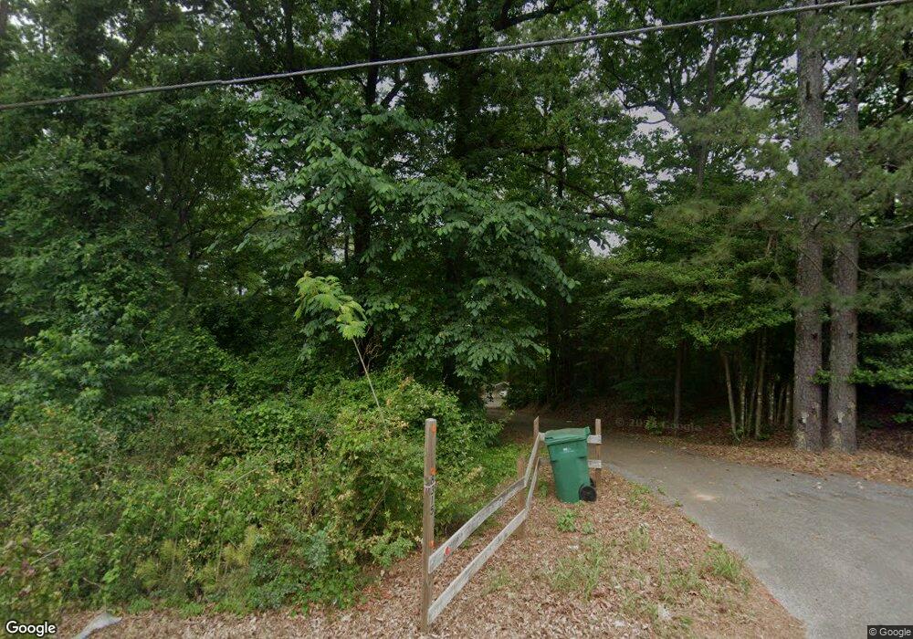
8315 Highway 69 N Northport, AL 35473
Estimated Value: $153,000 - $227,000
--
Bed
2
Baths
1,303
Sq Ft
$149/Sq Ft
Est. Value
About This Home
This home is located at 8315 Highway 69 N, Northport, AL 35473 and is currently estimated at $194,114, approximately $148 per square foot. 8315 Highway 69 N is a home located in Tuscaloosa County with nearby schools including Huntington Place Elementary School, Echols Middle School, and Tuscaloosa County High School.
Ownership History
Date
Name
Owned For
Owner Type
Purchase Details
Closed on
Mar 18, 2013
Sold by
Secretary Of Housing And U
Bought by
Edge Kathy Jo
Current Estimated Value
Home Financials for this Owner
Home Financials are based on the most recent Mortgage that was taken out on this home.
Original Mortgage
$81,860
Outstanding Balance
$58,313
Interest Rate
3.75%
Mortgage Type
FHA
Estimated Equity
$135,801
Purchase Details
Closed on
Oct 19, 2012
Sold by
Salaun Harold L
Bought by
Alabama Housing Finance Author
Purchase Details
Closed on
Jul 28, 2006
Sold by
Roy Deborah P
Bought by
Salaun Harold Lewis
Home Financials for this Owner
Home Financials are based on the most recent Mortgage that was taken out on this home.
Original Mortgage
$114,700
Interest Rate
6.68%
Mortgage Type
FHA
Create a Home Valuation Report for This Property
The Home Valuation Report is an in-depth analysis detailing your home's value as well as a comparison with similar homes in the area
Home Values in the Area
Average Home Value in this Area
Purchase History
| Date | Buyer | Sale Price | Title Company |
|---|---|---|---|
| Edge Kathy Jo | $500 | -- | |
| Alabama Housing Finance Author | $113,069 | -- | |
| Salaun Harold Lewis | $119,695 | -- |
Source: Public Records
Mortgage History
| Date | Status | Borrower | Loan Amount |
|---|---|---|---|
| Open | Edge Kathy Jo | $81,860 | |
| Previous Owner | Salaun Harold Lewis | $114,700 |
Source: Public Records
Tax History Compared to Growth
Tax History
| Year | Tax Paid | Tax Assessment Tax Assessment Total Assessment is a certain percentage of the fair market value that is determined by local assessors to be the total taxable value of land and additions on the property. | Land | Improvement |
|---|---|---|---|---|
| 2024 | $86 | $20,720 | $3,460 | $17,260 |
| 2023 | $86 | $20,720 | $3,460 | $17,260 |
| 2022 | $86 | $20,700 | $3,460 | $17,240 |
| 2021 | $86 | $20,700 | $3,460 | $17,240 |
| 2020 | $80 | $9,750 | $1,730 | $8,020 |
| 2019 | $80 | $9,750 | $1,730 | $8,020 |
| 2018 | $80 | $9,750 | $1,730 | $8,020 |
| 2017 | $71 | $0 | $0 | $0 |
| 2016 | $64 | $0 | $0 | $0 |
| 2015 | $64 | $0 | $0 | $0 |
| 2014 | -- | $8,160 | $1,730 | $6,430 |
Source: Public Records
Map
Nearby Homes
- 6905 Clements Foley Rd
- 8850 Tom Taylor Rd
- 0 Tom Taylor Rd Unit 102837
- 0 Arvada Dr Unit 24059418
- 0 Arvada Dr Unit 24059220
- 0 Flatwoods Rd Unit 21412474
- 0 Flatwoods Rd Unit 167157
- 7022 Wilburton Ln
- 8304 Meadowlake Dr W
- 0 Martin Spur Rd
- 0000 Grand Lake St
- 7665 Baptist Campground Rd
- 5205 Leland Dr
- 11408 Belle Meade Way
- 00 Jones Rd
- 11321 Belle Meade Way
- 0 Jones Rd
- 0 Baptist Campground Rd Unit 170759
- 5222 Northwood Lake Dr E
- 5190 Northcrest Dr
- 8315 Highway 69 N
- 0000 Alabama 69
- 8115 Highway 69 N
- 8915 Highway 69 N
- 8490 Sterling Place
- 8600 Sterling Place
- 1202 Dick Hagler Rd
- 8001 Highway 69 N
- 8001 Highway 69 N
- 9105 Highway 69 N
- 8008 Highway 69 N
- 9201 Highway 69 N
- 1215 Dick Hagler Rd
- 7850 Highway 69 N
- 1301 Dick Hagler Rd
- 7795 Highway 69 N
- 7800 N Highway 69 N
- 8715 Earl Fields Cir
- 8715 Earl Fields Cir
- 1441 Dick Hagler Rd
