8315 N Union Rd Glencoe, OK 74032
Estimated Value: $322,301 - $371,000
3
Beds
1
Bath
2,024
Sq Ft
$169/Sq Ft
Est. Value
About This Home
This home is located at 8315 N Union Rd, Glencoe, OK 74032 and is currently estimated at $342,100, approximately $169 per square foot. 8315 N Union Rd is a home located in Payne County with nearby schools including Glencoe Elementary School and Glencoe High School.
Ownership History
Date
Name
Owned For
Owner Type
Purchase Details
Closed on
Apr 14, 2023
Sold by
Coomer Michael L
Bought by
Lone Rock Ranch Land Company Llc
Current Estimated Value
Purchase Details
Closed on
Apr 13, 2023
Sold by
Wanita Mcguar Loving Trust
Bought by
Lone Rock Ranch Land Company Llc
Purchase Details
Closed on
Jun 26, 2014
Sold by
Mcguar Randy and Wanita Mcguar Living Trust
Bought by
Coomer Michael L
Purchase Details
Closed on
Jun 16, 2014
Sold by
Mcguary Randy
Bought by
Wanita Mcguar Loving Trust
Create a Home Valuation Report for This Property
The Home Valuation Report is an in-depth analysis detailing your home's value as well as a comparison with similar homes in the area
Home Values in the Area
Average Home Value in this Area
Purchase History
| Date | Buyer | Sale Price | Title Company |
|---|---|---|---|
| Lone Rock Ranch Land Company Llc | $220,000 | Community Escrow & Title | |
| Lone Rock Ranch Land Company Llc | $220,000 | Community Escrow & Title | |
| Lone Rock Ranch Land Company Llc | -- | Community Escrow & Title | |
| Coomer Michael L | -- | None Available | |
| Wanita Mcguar Loving Trust | -- | None Available |
Source: Public Records
Tax History Compared to Growth
Tax History
| Year | Tax Paid | Tax Assessment Tax Assessment Total Assessment is a certain percentage of the fair market value that is determined by local assessors to be the total taxable value of land and additions on the property. | Land | Improvement |
|---|---|---|---|---|
| 2024 | $1,941 | $20,068 | $1,625 | $18,443 |
| 2023 | $1,941 | $19,484 | $2,282 | $17,202 |
| 2022 | $1,750 | $18,916 | $2,368 | $16,548 |
| 2021 | $1,678 | $18,365 | $2,458 | $15,907 |
| 2020 | $1,617 | $17,830 | $4,393 | $13,437 |
| 2019 | $1,585 | $17,381 | $4,283 | $13,098 |
| 2018 | $1,543 | $16,874 | $4,158 | $12,716 |
| 2017 | $1,501 | $16,382 | $3,991 | $12,391 |
| 2016 | $1,494 | $15,906 | $3,858 | $12,048 |
| 2015 | $1,363 | $15,906 | $3,858 | $12,048 |
| 2014 | $1,546 | $18,986 | $5,685 | $13,301 |
Source: Public Records
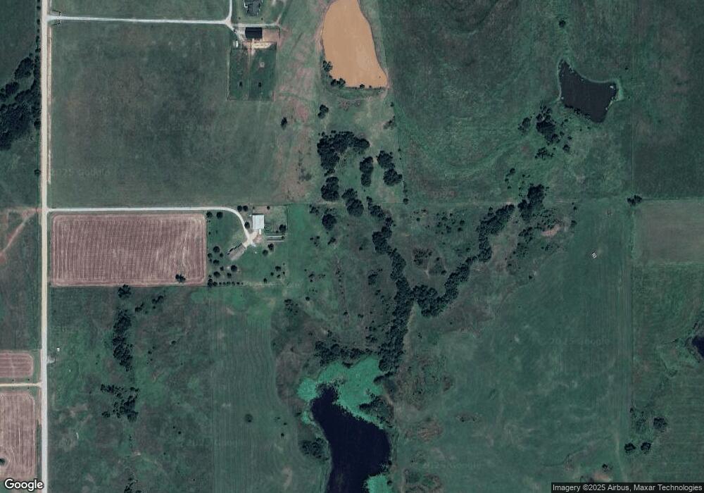
Map
Nearby Homes
- 8600 W South St
- 0 N Diamond Valley Rd
- 301 W Burkhart St
- 205 Metcalf St
- 316 W Shell St
- 5305 E Lone Chimney Rd
- 6800 Prairie Rd
- 4919 E Lone Chimney Rd
- Rural
- 14.87Ac Vfw Rd
- 10310 N Rose Rd Unit 10320 N Rose Road
- 10309 E Tower Estates
- 10227 E Tower Estates
- 29705 Harvest
- 7701 N Brush Creek Rd
- 0000 N Brush Creek Rd
- 4217 E Richmond Rd
- 2621 Noble Rd
- 30751 Harvest
- 4908 Clayton Ln