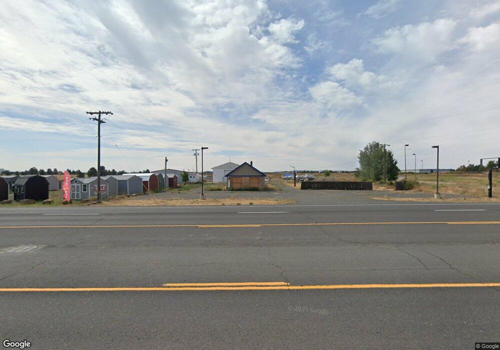
8319 W Sunset Hwy Spokane, WA 99224
Estimated Value: $727,631
--
Bed
1
Bath
5,920
Sq Ft
$123/Sq Ft
Est. Value
About This Home
This home is located at 8319 W Sunset Hwy, Spokane, WA 99224 and is currently estimated at $727,631, approximately $122 per square foot. 8319 W Sunset Hwy is a home located in Spokane County with nearby schools including Phil Snowdon Elementary School, Westwood Middle School, and Cheney High School.
Ownership History
Date
Name
Owned For
Owner Type
Purchase Details
Closed on
May 3, 2018
Sold by
Ribic Eduard and Ribic Rachael
Bought by
Johnson Wyane
Current Estimated Value
Purchase Details
Closed on
May 2, 2018
Sold by
Ribic Eduard and Ribic Rachael
Bought by
Johnson Wayne
Create a Home Valuation Report for This Property
The Home Valuation Report is an in-depth analysis detailing your home's value as well as a comparison with similar homes in the area
Home Values in the Area
Average Home Value in this Area
Purchase History
| Date | Buyer | Sale Price | Title Company |
|---|---|---|---|
| Johnson Wyane | $385,000 | Ticor Title Co | |
| Johnson Wayne | -- | Ticor Title |
Source: Public Records
Tax History Compared to Growth
Tax History
| Year | Tax Paid | Tax Assessment Tax Assessment Total Assessment is a certain percentage of the fair market value that is determined by local assessors to be the total taxable value of land and additions on the property. | Land | Improvement |
|---|---|---|---|---|
| 2025 | $7,590 | $764,630 | $640,330 | $124,300 |
| 2024 | $7,590 | $767,030 | $640,330 | $126,700 |
| 2023 | $3,446 | $770,030 | $640,330 | $129,700 |
| 2022 | $4,017 | $390,630 | $256,130 | $134,500 |
| 2021 | $4,274 | $369,030 | $256,130 | $112,900 |
| 2020 | $4,264 | $349,220 | $230,520 | $118,700 |
| 2019 | $2,963 | $252,960 | $121,660 | $131,300 |
| 2018 | $2,479 | $183,850 | $96,050 | $87,800 |
| 2017 | $2,271 | $183,570 | $95,970 | $87,600 |
| 2016 | $2,333 | $181,070 | $95,970 | $85,100 |
| 2015 | $2,464 | $183,570 | $95,970 | $87,600 |
| 2014 | -- | $184,270 | $95,970 | $88,300 |
| 2013 | -- | $0 | $0 | $0 |
Source: Public Records
Map
Nearby Homes
- 1101 S Pillar Rock Dr
- 1017 Vandals Ct
- 9107 W Pirates Ct
- 1119 S Soda Rd
- 8604 W Campus Dr
- 916 S Pillar Rock Dr
- 1105 S Oswald St
- 8630 W Campus Dr
- 1106 S Oswald St
- 8604 W 8th Ave
- 4611 W Sunset Hwy Unit 1720 S. Assembly Roa
- LOT U S Route 2
- 1551 S Deer Heights Rd Unit C-105
- 7527 W Greenwood Rd
- 00 N Hayford Rd
- 1112 S Comax Ct
- 902 S Bogen Ct
- 1625 S Hayford Rd
- 8323 W Mission Rd
- 7xxx W Deno Rd
- 8217 W Highway 2
- 8019 W Sunset Hwy
- 8727 W Highway 2
- 8507 W Pirates Ct
- 8507 W Pirates Ct Unit 13 of 3
- 8507 W Pirates Ct Unit 13 of 3
- 8507 W Pirates Ct Unit 11 of 3
- 8511 W Pirates Ct
- 8515 Pirates Ct Unit Lot 15 Block 3
- 8505 W Pirates Ct Unit 12/3 PR
- 8511 W Pirates Ct Unit Lot 14 Block 3
- 8504 W Pirates Ct
- 8519 W Pirates Ct
- 8519 W Pirates Ct Unit 16 of 3
- 8519 W Pirates Ct Unit 16 of 3
- 8504 W Pirates Ct Unit 11 of 3
- 8527 W Pirates Ct
- 8527 W Pirates Ct Unit 18 of 3
- 8527 W Pirates Ct Unit 18 of 3
- 8527 W Pirates Ct