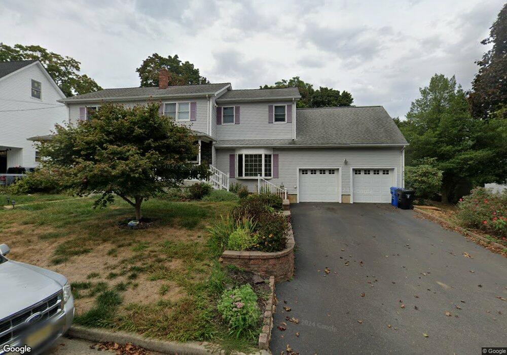
832 Andover St Red Bank, NJ 07701
New Monmouth NeighborhoodEstimated Value: $909,705 - $1,048,000
4
Beds
3
Baths
2,671
Sq Ft
$369/Sq Ft
Est. Value
About This Home
This home is located at 832 Andover St, Red Bank, NJ 07701 and is currently estimated at $986,926, approximately $369 per square foot. 832 Andover St is a home located in Monmouth County with nearby schools including River Plaza Elementary School, Thompson Middle School, and Middletown - South High School.
Ownership History
Date
Name
Owned For
Owner Type
Purchase Details
Closed on
Nov 17, 1998
Sold by
Hilbert Eric
Bought by
Patterson Robert and Patterson Allison
Current Estimated Value
Home Financials for this Owner
Home Financials are based on the most recent Mortgage that was taken out on this home.
Original Mortgage
$131,400
Outstanding Balance
$28,833
Interest Rate
6.65%
Estimated Equity
$958,093
Create a Home Valuation Report for This Property
The Home Valuation Report is an in-depth analysis detailing your home's value as well as a comparison with similar homes in the area
Home Values in the Area
Average Home Value in this Area
Purchase History
| Date | Buyer | Sale Price | Title Company |
|---|---|---|---|
| Patterson Robert | $5,014,600 | -- |
Source: Public Records
Mortgage History
| Date | Status | Borrower | Loan Amount |
|---|---|---|---|
| Open | Patterson Robert | $131,400 |
Source: Public Records
Tax History Compared to Growth
Tax History
| Year | Tax Paid | Tax Assessment Tax Assessment Total Assessment is a certain percentage of the fair market value that is determined by local assessors to be the total taxable value of land and additions on the property. | Land | Improvement |
|---|---|---|---|---|
| 2025 | $12,403 | $893,800 | $498,100 | $395,700 |
| 2024 | $12,034 | $754,000 | $380,200 | $373,800 |
| 2023 | $12,034 | $692,400 | $354,900 | $337,500 |
| 2022 | $11,455 | $606,400 | $285,000 | $321,400 |
| 2021 | $11,455 | $550,700 | $264,900 | $285,800 |
| 2020 | $11,389 | $532,700 | $253,300 | $279,400 |
| 2019 | $11,206 | $530,600 | $252,300 | $278,300 |
| 2018 | $11,936 | $550,800 | $191,100 | $359,700 |
| 2017 | $11,917 | $544,400 | $191,100 | $353,300 |
| 2016 | $11,412 | $535,500 | $191,100 | $344,400 |
| 2015 | $11,706 | $530,400 | $191,100 | $339,300 |
| 2014 | $11,342 | $501,200 | $191,100 | $310,100 |
Source: Public Records
Map
Nearby Homes
- 9 Wesleyan St
- 46 Southall Ln
- 31 Southall Ln
- 44 Monroe St
- 833 Lincoln St
- 139 Statesir Place
- 508 Abby Rd Unit 508
- 37 Delaware Ave
- 78 Crestview Dr
- 152 Chapel Hill Rd
- 4 Breana Ct
- 238 Martin Place
- 115 Hill Terrace
- 43 Roosevelt Cir W
- 839 Arthur Dr
- 19 Statesir Place
- 35 Fairview Dr
- 39 Market St
- 3504 James Ct Unit 159
- 11 Mayflower Dr
- 828 Andover St
- 51 Commonwealth Ave
- 70 Dartmouth St
- 836 Andover St
- 833 Andover St
- 49 Commonwealth Ave
- 62 Dartmouth St
- 829 Andover St
- 837 Andover St
- 827 Andover St
- 45 Commonwealth Ave
- 60 Commonwealth Ave
- 25 Harvard St
- 67 Commonwealth Ave
- 23 Harvard St
- 20 Brighton Ave
- 52 Commonwealth Ave
- 27 Harvard St
- 19 Harvard St
- 66 Commonwealth Ave