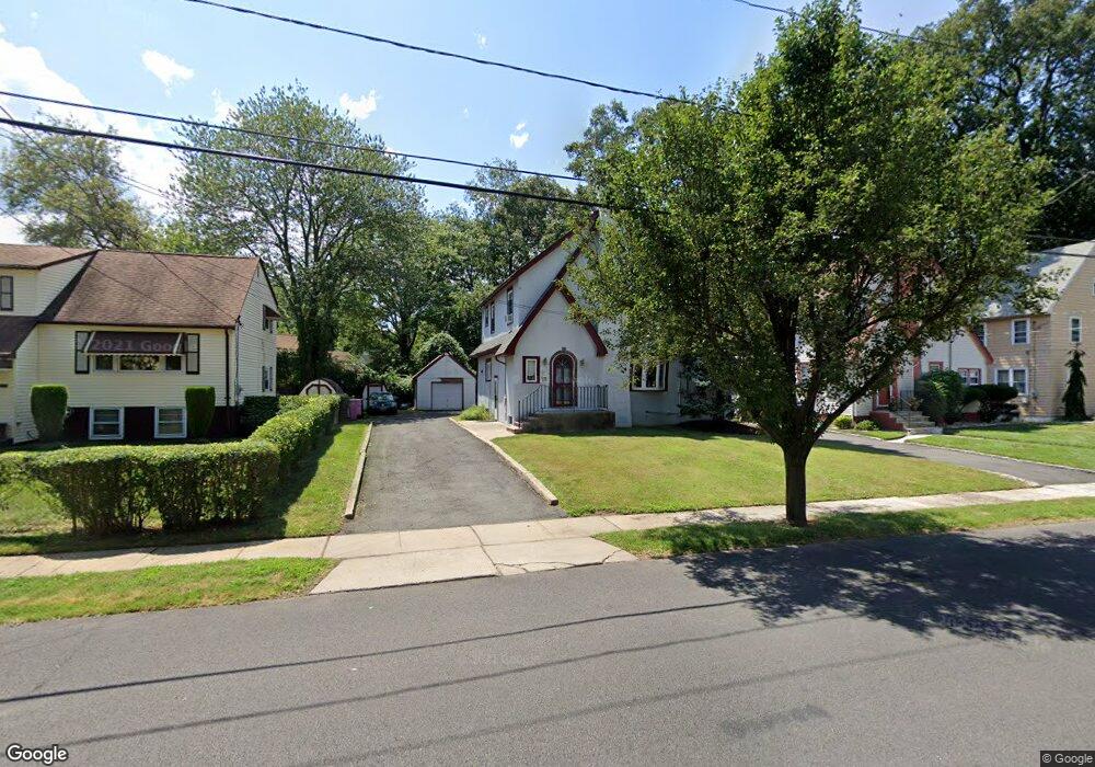
832 Berckman St Unit 36 Plainfield, NJ 07062
Estimated Value: $441,000 - $602,000
Studio
--
Bath
1,570
Sq Ft
$323/Sq Ft
Est. Value
About This Home
This home is located at 832 Berckman St Unit 36, Plainfield, NJ 07062 and is currently estimated at $507,071, approximately $322 per square foot. 832 Berckman St Unit 36 is a home located in Union County with nearby schools including Charles and Anna Booker School, Maxson Middle School, and Plainfield High School.
Ownership History
Date
Name
Owned For
Owner Type
Purchase Details
Closed on
Jan 21, 2008
Sold by
Mcneil Lillie
Bought by
Woodley Karen
Current Estimated Value
Purchase Details
Closed on
Jun 1, 1993
Sold by
Federal Home Loan Mortgage Corporation
Bought by
Mcneil Lillie
Home Financials for this Owner
Home Financials are based on the most recent Mortgage that was taken out on this home.
Original Mortgage
$150,000
Interest Rate
7.01%
Mortgage Type
Purchase Money Mortgage
Create a Home Valuation Report for This Property
The Home Valuation Report is an in-depth analysis detailing your home's value as well as a comparison with similar homes in the area
Home Values in the Area
Average Home Value in this Area
Purchase History
| Date | Buyer | Sale Price | Title Company |
|---|---|---|---|
| Woodley Karen | -- | None Available | |
| Mcneil Lillie | $111,000 | -- |
Source: Public Records
Mortgage History
| Date | Status | Borrower | Loan Amount |
|---|---|---|---|
| Previous Owner | Mcneil Lillie | $150,000 |
Source: Public Records
Tax History
| Year | Tax Paid | Tax Assessment Tax Assessment Total Assessment is a certain percentage of the fair market value that is determined by local assessors to be the total taxable value of land and additions on the property. | Land | Improvement |
|---|---|---|---|---|
| 2025 | $9,797 | $112,200 | $45,600 | $66,600 |
| 2024 | $9,701 | $112,200 | $45,600 | $66,600 |
| 2023 | $9,701 | $112,200 | $45,600 | $66,600 |
| 2022 | $9,491 | $112,200 | $45,600 | $66,600 |
| 2021 | $9,408 | $112,200 | $45,600 | $66,600 |
| 2020 | $9,381 | $112,200 | $45,600 | $66,600 |
| 2019 | $9,381 | $112,200 | $45,600 | $66,600 |
| 2018 | $9,185 | $112,200 | $45,600 | $66,600 |
| 2017 | $8,960 | $112,200 | $45,600 | $66,600 |
| 2016 | $8,777 | $112,200 | $45,600 | $66,600 |
| 2015 | $8,518 | $112,200 | $45,600 | $66,600 |
| 2014 | $8,287 | $112,200 | $45,600 | $66,600 |
Source: Public Records
Map
Nearby Homes
- 1305 Sunnyside Place Unit 9
- 834 Central St Unit 36
- 774 Webster Place
- 724 Central St
- 1303 Watchung Ave
- 819 Kensington Ave Unit 25
- 626 E 6th St
- 633 Woodland Ave Unit 37
- 819 Carlton Ave Unit 23
- 823 Carlton Ave
- 1200-06 Watchung Ave
- 1342 Lake St
- 771 Ravine Rd
- 767 Ravine Rd Unit 73
- 604 Richmond St Unit 6
- 933 Cedarbrook Rd
- 329 Berckman St
- 835 Dixie Ln Unit 37
- 300 E 6th St Unit 2
- 808 E 3rd St
- 828 Berckman St Unit 30
- 838 Berckman St Unit 44
- 824-26 Berckman St
- 824 Berckman St Unit 26
- 1323 Sunnyside Place Unit 25
- 818 Berckman St Unit 22
- 1317 Sunnyside Place Unit 21
- 1327 Sunnyside Place Unit 31
- 827-29 Berckman St
- 1311 Sunnyside Place Unit 15
- 723 Hillside Ave Unit 27
- 835 Berckman St Unit 39
- 827 Berckman St Unit 29
- 841 Berckman St Unit 45
- 823 Berckman St Unit 25
- 814 Berckman St Unit 16
- 729 Hillside Ave Unit 31
- 715 Hillside Ave Unit 21
- 1333 Sunnyside Place Unit 41
- 819 Berckman St Unit 21
Your Personal Tour Guide
Ask me questions while you tour the home.