832 Brendle Trace Unit 13 Springfield, OH 45503
Estimated Value: $228,015 - $255,000
2
Beds
2
Baths
1,341
Sq Ft
$177/Sq Ft
Est. Value
About This Home
This home is located at 832 Brendle Trace Unit 13, Springfield, OH 45503 and is currently estimated at $236,754, approximately $176 per square foot. 832 Brendle Trace Unit 13 is a home located in Clark County with nearby schools including Northridge Elementary School, Kenton Ridge Middle & High School, and Emmanuel Christian Academy.
Ownership History
Date
Name
Owned For
Owner Type
Purchase Details
Closed on
Mar 25, 1999
Sold by
The Hoppes Builders & Development Co
Bought by
Mcfarland Catherine E
Current Estimated Value
Home Financials for this Owner
Home Financials are based on the most recent Mortgage that was taken out on this home.
Original Mortgage
$106,800
Interest Rate
6.85%
Create a Home Valuation Report for This Property
The Home Valuation Report is an in-depth analysis detailing your home's value as well as a comparison with similar homes in the area
Home Values in the Area
Average Home Value in this Area
Purchase History
| Date | Buyer | Sale Price | Title Company |
|---|---|---|---|
| Mcfarland Catherine E | $122,700 | -- |
Source: Public Records
Mortgage History
| Date | Status | Borrower | Loan Amount |
|---|---|---|---|
| Closed | Mcfarland Catherine E | $106,800 |
Source: Public Records
Tax History
| Year | Tax Paid | Tax Assessment Tax Assessment Total Assessment is a certain percentage of the fair market value that is determined by local assessors to be the total taxable value of land and additions on the property. | Land | Improvement |
|---|---|---|---|---|
| 2025 | $2,257 | $69,390 | $12,250 | $57,140 |
| 2024 | $2,211 | $60,140 | $10,500 | $49,640 |
| 2023 | $2,211 | $60,140 | $10,500 | $49,640 |
| 2022 | $2,237 | $60,140 | $10,500 | $49,640 |
| 2021 | $2,122 | $50,010 | $8,750 | $41,260 |
| 2020 | $2,124 | $50,010 | $8,750 | $41,260 |
| 2019 | $2,163 | $50,010 | $8,750 | $41,260 |
| 2018 | $2,072 | $46,630 | $8,750 | $37,880 |
| 2017 | $1,784 | $48,185 | $8,750 | $39,435 |
| 2016 | $1,771 | $48,185 | $8,750 | $39,435 |
| 2015 | $1,882 | $47,051 | $8,750 | $38,301 |
| 2014 | $1,882 | $47,051 | $8,750 | $38,301 |
| 2013 | $1,839 | $47,051 | $8,750 | $38,301 |
Source: Public Records
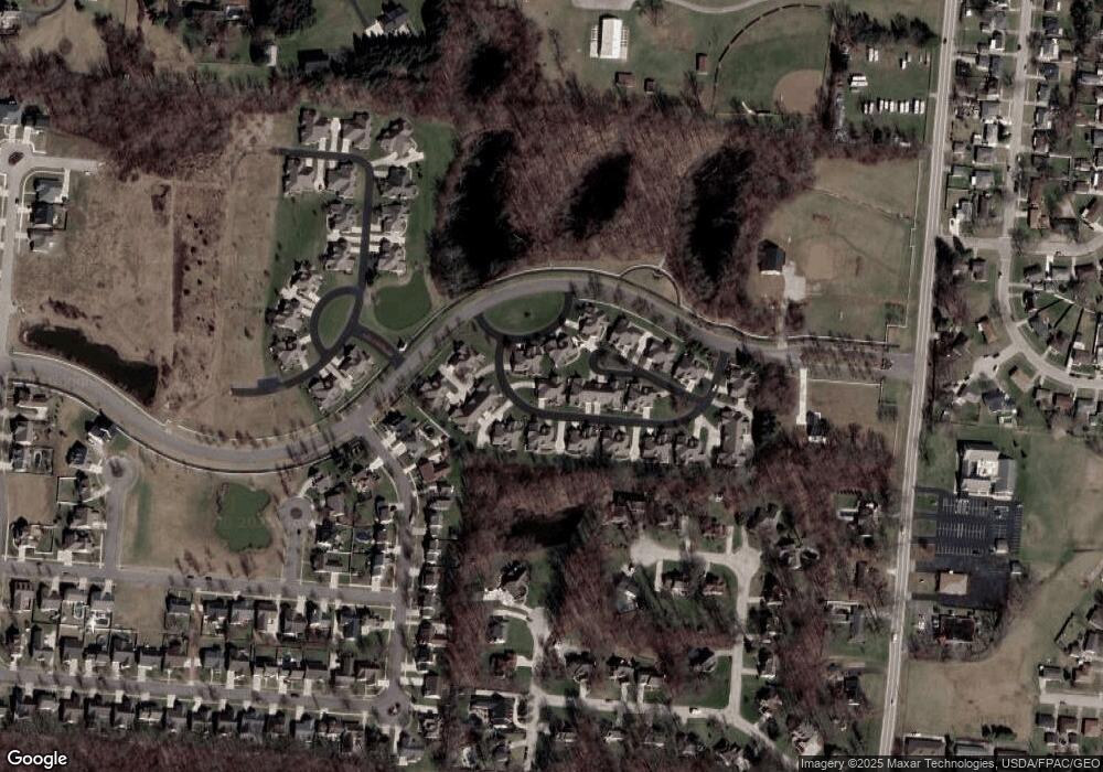
Map
Nearby Homes
- 862 Brendle Trace Unit 20
- 1033 Westmont Cir
- 593 Hiser Ave
- 4741 Cullen Ave
- 4343 Burchill St
- 4446 Ridgewood Rd E Unit 3
- 0 Moorefield Rd
- 1709 Thomas Dr
- 4652 Reno Ln Unit 15
- 1162 Kingsgate Rd
- 5564 Ridgewood Rd W
- 1201 Kingsgate Rd
- 5564 Ridgewood Rd E Unit 7
- 1327 Kingsgate Rd
- 5722 Victorian Way Unit 31
- 1707 Berwick Dr
- 937 Willow Rd
- 1500 Kingsgate Rd
- 1502 Kingsgate Rd
- 1500 Kingsgate Rd Unit 19430
- 830 Brendle Trace Unit 14
- 824 Brendle Trace Unit 12
- 836 Trent Close
- 840 Trent Close Unit 15
- 838 Brendle Trace
- 822 Foley Cir Unit 11
- 834 Foley Cir Unit 9
- 826 Brendle Trace Unit 35
- 852 Trent Close Unit 17
- 852 Trent Close
- 852 Trent Close
- 852 Trent Close
- 850 Brendle Trace Unit 18
- 828 Brendle Trace Unit 36
- 842 Brendle Trace
- 818 Brendle Trace Unit 37
- 844 Brendle Trace
- 846 Foley Cir Unit 7
- 848 Trent Close
- 854 Brendle Trace Unit 31
Your Personal Tour Guide
Ask me questions while you tour the home.