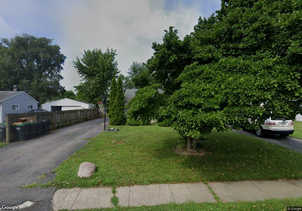
832 Delbrook Dr Whiteland, IN 46184
Estimated Value: $207,000 - $227,323
3
Beds
1
Bath
1,082
Sq Ft
$199/Sq Ft
Est. Value
About This Home
This home is located at 832 Delbrook Dr, Whiteland, IN 46184 and is currently estimated at $215,081, approximately $198 per square foot. 832 Delbrook Dr is a home located in Johnson County with nearby schools including Break-O-Day Elementary School, Clark-Pleasant Middle School, and Whiteland Community High School.
Ownership History
Date
Name
Owned For
Owner Type
Purchase Details
Closed on
Jan 24, 2020
Sold by
Richards Nicole C
Bought by
Yarnell Kenneth and Richards Nicole
Current Estimated Value
Purchase Details
Closed on
Mar 2, 2006
Sold by
Citifinancial Mortgage Co
Bought by
Richards Nicole C
Home Financials for this Owner
Home Financials are based on the most recent Mortgage that was taken out on this home.
Original Mortgage
$69,600
Interest Rate
6.37%
Mortgage Type
New Conventional
Create a Home Valuation Report for This Property
The Home Valuation Report is an in-depth analysis detailing your home's value as well as a comparison with similar homes in the area
Home Values in the Area
Average Home Value in this Area
Purchase History
| Date | Buyer | Sale Price | Title Company |
|---|---|---|---|
| Yarnell Kenneth | -- | None Available | |
| Richards Nicole C | -- | First Title Of Indiana Inc |
Source: Public Records
Mortgage History
| Date | Status | Borrower | Loan Amount |
|---|---|---|---|
| Previous Owner | Richards Nicole C | $69,600 |
Source: Public Records
Tax History Compared to Growth
Tax History
| Year | Tax Paid | Tax Assessment Tax Assessment Total Assessment is a certain percentage of the fair market value that is determined by local assessors to be the total taxable value of land and additions on the property. | Land | Improvement |
|---|---|---|---|---|
| 2025 | $1,799 | $194,900 | $42,000 | $152,900 |
| 2024 | $1,799 | $183,000 | $42,000 | $141,000 |
| 2023 | $1,887 | $175,700 | $42,000 | $133,700 |
| 2022 | $1,798 | $164,500 | $35,000 | $129,500 |
| 2021 | $1,587 | $144,700 | $35,000 | $109,700 |
| 2020 | $1,212 | $111,000 | $24,500 | $86,500 |
| 2019 | $1,138 | $105,200 | $18,600 | $86,600 |
| 2018 | $1,272 | $110,200 | $15,700 | $94,500 |
| 2017 | $1,266 | $110,200 | $15,700 | $94,500 |
| 2016 | $1,028 | $99,500 | $15,700 | $83,800 |
| 2014 | $1,184 | $90,000 | $15,900 | $74,100 |
| 2013 | $1,184 | $97,000 | $15,600 | $81,400 |
Source: Public Records
Map
Nearby Homes
- 250 Southlane Dr
- 821 Princeton Dr
- 840 Sweetbriar Ave
- 0 E 700 N Unit MBR22036500
- 143 Tracy Ridge Blvd
- 539 Delbrook Dr
- 239 Shelton Place
- 624 Sweetbriar Ave
- 230 Parkview Dr
- 50 Meadow Creek Blvd
- 12 Rypma Row
- 106 Tracy Ridge Blvd
- 111 Meadow Creek Blvd
- 123 Country Wood Dr
- 269 Switchgrass Ln
- 287 Bluestem Ln
- 144 Bluestem Ln
- 190 Tracy Ridge Blvd
- 241 Mooreland Dr
- 53 Oakden Ct
- 840 Delbrook Dr
- 826 Delbrook Dr
- 825 Middle Dr
- 817 Middle Dr
- 837 Delbrook Dr
- 846 Delbrook Dr
- 818 Delbrook Dr
- 811 Middle Dr
- 829 Delbrook Dr
- 839 Middle Dr
- 845 Delbrook Dr
- 821 Delbrook Dr
- 808 Delbrook Dr
- 852 Delbrook Dr
- 845 Middle Dr
- 234 Southlane Dr
- 818 Middle Dr
- 226 Southlane Dr
- 826 Middle Dr
- 810 Middle Dr