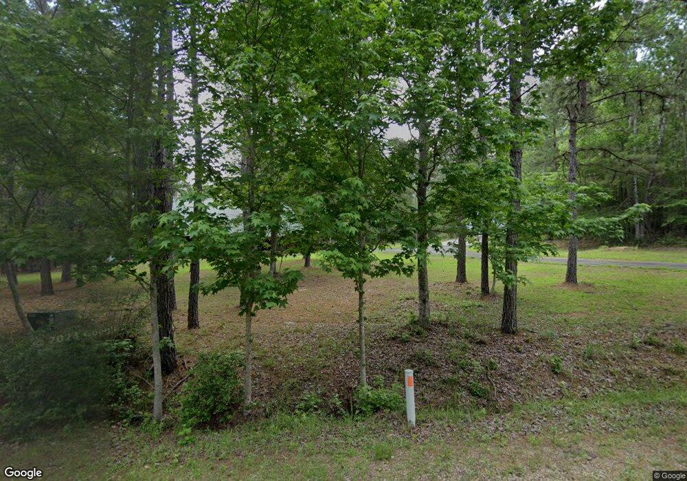
832 Denwood Dr Unit Section 16 Tract 33 Brookeland, TX 75931
Estimated Value: $359,000 - $430,000
3
Beds
2
Baths
1,932
Sq Ft
$204/Sq Ft
Est. Value
About This Home
This home is located at 832 Denwood Dr Unit Section 16 Tract 33, Brookeland, TX 75931 and is currently estimated at $394,424, approximately $204 per square foot. 832 Denwood Dr Unit Section 16 Tract 33 is a home located in Jasper County with nearby schools including Brookeland Elementary School and Brookeland High School.
Ownership History
Date
Name
Owned For
Owner Type
Purchase Details
Closed on
Apr 8, 2025
Sold by
Jasper County
Bought by
Sims Thomas
Current Estimated Value
Purchase Details
Closed on
Dec 20, 2016
Sold by
Huckman Michael S and Huckman Megan E
Bought by
Gates Sherry L
Home Financials for this Owner
Home Financials are based on the most recent Mortgage that was taken out on this home.
Original Mortgage
$168,000
Interest Rate
3.54%
Mortgage Type
New Conventional
Create a Home Valuation Report for This Property
The Home Valuation Report is an in-depth analysis detailing your home's value as well as a comparison with similar homes in the area
Home Values in the Area
Average Home Value in this Area
Purchase History
| Date | Buyer | Sale Price | Title Company |
|---|---|---|---|
| Sims Thomas | $1,972 | None Listed On Document | |
| Gates Sherry L | -- | None Available |
Source: Public Records
Mortgage History
| Date | Status | Borrower | Loan Amount |
|---|---|---|---|
| Previous Owner | Gates Sherry L | $168,000 |
Source: Public Records
Tax History Compared to Growth
Tax History
| Year | Tax Paid | Tax Assessment Tax Assessment Total Assessment is a certain percentage of the fair market value that is determined by local assessors to be the total taxable value of land and additions on the property. | Land | Improvement |
|---|---|---|---|---|
| 2024 | $4,223 | $387,169 | $94,340 | $292,829 |
| 2023 | $4,223 | $304,461 | $40,095 | $264,366 |
| 2022 | $5,028 | $303,561 | $40,095 | $263,466 |
| 2021 | $4,596 | $265,184 | $40,095 | $225,089 |
| 2020 | $3,645 | $210,297 | $26,485 | $183,812 |
| 2019 | $3,814 | $208,504 | $25,142 | $183,362 |
| 2018 | $3,098 | $174,955 | $22,972 | $151,983 |
| 2017 | $3,098 | $164,991 | $22,972 | $142,019 |
| 2016 | $3,101 | $165,001 | $22,982 | $142,019 |
| 2015 | -- | $160,895 | $18,876 | $142,019 |
| 2014 | -- | $160,895 | $18,876 | $142,019 |
Source: Public Records
Map
Nearby Homes
- Sect. 16 Lot 74 Dove Ln
- Sect. 16 Lot 75 Dove Ln
- Sect. 16 Lot 76 Dove Ln
- 158 Dogwood Dr
- 265 Sweetgum Dr
- 285 Sweetgum Dr
- PID#34467 34468 Sweetgum Dr
- 149 Drowsy Ln
- 0 Drowsy Ln
- lot 86 Pr 6026
- 313 Sweetgum Dr
- 254 Senita Dr
- 415 Sloe Ln
- 280 Doebeker Dr
- ID# 34169 Dewberry Dr
- PIDN 34190 Dewberry Dr
- 125 Dewberry Dr
- 232 Sitka
- 211 Dalea Ln
- 211 Delea Ln
- 832 Denwood Dr
- 832 Denwood Dr Unit Tr 33, Sec. 16 R.C.
- 288 Spinosa Ln
- 00 Dove Ln
- 00 Dove Ln Unit Sec 16 Lot 78
- 230 Spinosa
- 230 Spinosa Unit Lot 283 Section 16
- 216 Spinosa Ln
- 154 Dogwood Dr
- 000 Spinosa Ln Unit TBD Spinosa Lane
- TBD Spinosa Ln
- 126 Spinosa Ln
- 83 Dove Ln
- 83 Dove Ln Unit SEC 16 Lot 83
- 142 Dogwood Dr
- 607 Deodar Unit Lots 146,147
- 607 Deodar
- 607 Deodar Unit Lots 146 & 147 Sec 1
- 607 Deodar Unit Lots 146 &147 Sec 15
- 140 Deodar Dr
