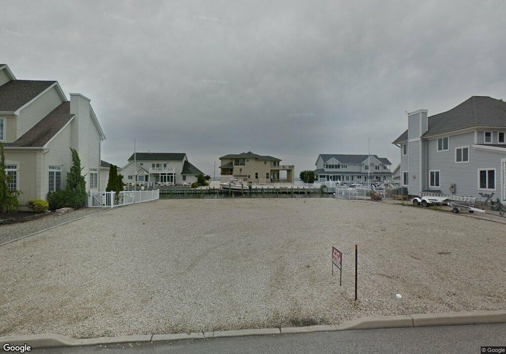
832 Ensign Dr Forked River, NJ 08731
Estimated Value: $1,418,000 - $1,605,000
Studio
--
Bath
--
Sq Ft
7,492
Sq Ft Lot
About This Home
This home is located at 832 Ensign Dr, Forked River, NJ 08731 and is currently estimated at $1,531,127. 832 Ensign Dr is a home with nearby schools including Lacey Township High School.
Ownership History
Date
Name
Owned For
Owner Type
Purchase Details
Closed on
Feb 6, 2020
Sold by
Schirmer Susan
Bought by
Gildersleeve James and Gildersleeve Catherine A
Current Estimated Value
Purchase Details
Closed on
Jul 25, 2016
Sold by
Donahue Lori E and Page David L
Bought by
Schirmer Susan
Purchase Details
Closed on
Apr 23, 2013
Sold by
Donahue Lori E and Page David L
Bought by
Donahue Lori E and Page David L
Purchase Details
Closed on
Aug 19, 2009
Sold by
Page Leslie Paul and Page Leslie P
Bought by
Page Leslie Paul and The Leslie Paul Page Revocable Living Tr
Purchase Details
Closed on
Jul 6, 2004
Sold by
Zampella Anthony J and Zampella Elizabeth M
Bought by
Page Leslie P and Page Louise M
Purchase Details
Closed on
Nov 3, 1997
Sold by
Sunrise Pointe Lp
Bought by
Rossi Anthony and Rossi Michele
Create a Home Valuation Report for This Property
The Home Valuation Report is an in-depth analysis detailing your home's value as well as a comparison with similar homes in the area
Home Values in the Area
Average Home Value in this Area
Purchase History
| Date | Buyer | Sale Price | Title Company |
|---|---|---|---|
| Gildersleeve James | $315,000 | Two Rivers Title Company Llc | |
| Schirmer Susan | $300,000 | Old Republic National Title | |
| Donahue Lori E | -- | None Available | |
| Page Leslie Paul | -- | None Available | |
| Page Leslie P | $470,000 | None Available | |
| Rossi Anthony | $127,000 | -- |
Source: Public Records
Tax History
| Year | Tax Paid | Tax Assessment Tax Assessment Total Assessment is a certain percentage of the fair market value that is determined by local assessors to be the total taxable value of land and additions on the property. | Land | Improvement |
|---|---|---|---|---|
| 2025 | $24,747 | $976,600 | $293,300 | $683,300 |
| 2024 | $23,136 | $976,600 | $293,300 | $683,300 |
Source: Public Records
Map
Nearby Homes
- 814 Ensign Dr
- 1025 Capstan Dr
- 986 Capstan Dr
- 0 Windward Dr Unit NJOC2039288
- 0 Windward Dr Unit 22601526
- 915 Shenandoah Dr
- 715 Richmond Dr
- 709 Richmond Dr
- 510 Conifer Dr
- 1407 Hilo Bay Dr
- 1600 Beach Blvd
- 0 Union Ct Unit 22605987
- 1029 Bowsprit Point
- 330 Riviera Dr
- 1609 Tamiami Rd
- 802 E Hickory Dr
- 207 Sunset Dr
- 606 Bowsprit Point
- 1615 Tamiami Rd
- 826 Hazelton Ave
Your Personal Tour Guide
Ask me questions while you tour the home.