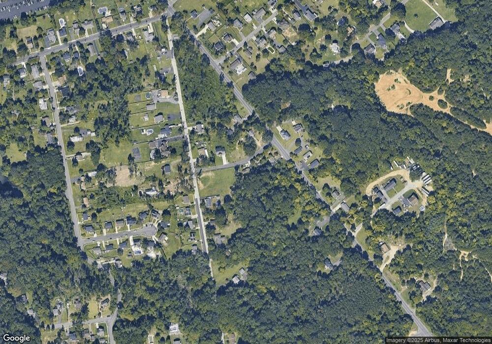
832 Kersey Ln Woodbury, NJ 08096
Deptford Township NeighborhoodEstimated Value: $187,059 - $291,000
--
Bed
--
Bath
826
Sq Ft
$301/Sq Ft
Est. Value
About This Home
This home is located at 832 Kersey Ln, Woodbury, NJ 08096 and is currently estimated at $248,765, approximately $301 per square foot. 832 Kersey Ln is a home located in Gloucester County with nearby schools including Deptford Township High School, St Margaret Regional School, and Holy Angels Catholic School.
Ownership History
Date
Name
Owned For
Owner Type
Purchase Details
Closed on
Sep 12, 2022
Sold by
Bernice Sanders
Bought by
Moore Aaron
Current Estimated Value
Purchase Details
Closed on
Apr 30, 2003
Sold by
Kersey Paul W and Estate Of Josephine Kersey
Bought by
Sanders Bernice
Home Financials for this Owner
Home Financials are based on the most recent Mortgage that was taken out on this home.
Original Mortgage
$51,120
Interest Rate
7.6%
Mortgage Type
Purchase Money Mortgage
Create a Home Valuation Report for This Property
The Home Valuation Report is an in-depth analysis detailing your home's value as well as a comparison with similar homes in the area
Home Values in the Area
Average Home Value in this Area
Purchase History
| Date | Buyer | Sale Price | Title Company |
|---|---|---|---|
| Moore Aaron | -- | -- | |
| Moore Aaron | -- | None Listed On Document | |
| Sanders Bernice | $63,900 | Group 21 Title |
Source: Public Records
Mortgage History
| Date | Status | Borrower | Loan Amount |
|---|---|---|---|
| Previous Owner | Sanders Bernice | $51,120 |
Source: Public Records
Tax History Compared to Growth
Tax History
| Year | Tax Paid | Tax Assessment Tax Assessment Total Assessment is a certain percentage of the fair market value that is determined by local assessors to be the total taxable value of land and additions on the property. | Land | Improvement |
|---|---|---|---|---|
| 2025 | $4,015 | $112,000 | $45,700 | $66,300 |
| 2024 | $3,886 | $112,000 | $45,700 | $66,300 |
| 2023 | $3,886 | $112,000 | $45,700 | $66,300 |
| 2022 | $3,858 | $112,000 | $45,700 | $66,300 |
| 2021 | $3,804 | $112,000 | $45,700 | $66,300 |
| 2020 | $3,760 | $112,000 | $45,700 | $66,300 |
| 2019 | $3,688 | $112,000 | $45,700 | $66,300 |
| 2018 | $3,605 | $112,000 | $45,700 | $66,300 |
| 2017 | $3,509 | $112,000 | $45,700 | $66,300 |
| 2016 | $3,437 | $112,000 | $45,700 | $66,300 |
| 2015 | $3,331 | $112,000 | $45,700 | $66,300 |
| 2014 | $3,245 | $112,000 | $45,700 | $66,300 |
Source: Public Records
Map
Nearby Homes
- 10 Carter Dr
- 853 Mail Ave
- 805 Cattell Rd
- 859 Cattell Rd
- 760 Woodland Ave
- 735 Chestnut Ave
- 1159 Glassboro Rd
- 106 Shelly Ln
- 617 Stratford Ave
- 616 Fairview Ave
- 760 Highland Ave
- 183 Lincoln Rd
- 1573 Delsea Dr
- 134 Carver Dr
- 41 Fleming Ave
- 14 Laurel Ct
- 504 Glassboro Rd
- 471 Glassboro Rd
- 106 Bock Ave
- 118 Caribou Ct
- 869 Tanyard Rd
- 847 Kersey Ln
- 859 Tanyard Rd
- 860 Kersey Ln
- 868 Boundary Rd
- 852 Boundary Rd
- 864 Tanyard Rd
- 855 Tanyard Rd
- 855 Tanyard Rd
- 876 Boundary Rd
- 870 Tanyard Rd
- 846 Boundary Rd
- 876 Tanyard Rd
- 878 Tanyard Rd
- 746 Orchard Ln
- 880 Boundary Rd
- 867 Boundary Rd
- 871 Boundary Rd
- 889 Tanyard Rd
- 869 Boundary Rd
