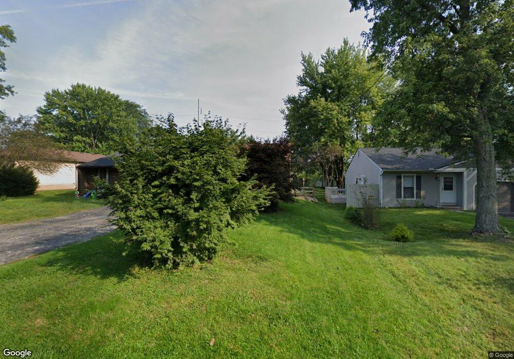
832 Linworth Rd E Columbus, OH 43235
Estimated Value: $192,000 - $334,000
2
Beds
2
Baths
1,134
Sq Ft
$218/Sq Ft
Est. Value
About This Home
This home is located at 832 Linworth Rd E, Columbus, OH 43235 and is currently estimated at $246,965, approximately $217 per square foot. 832 Linworth Rd E is a home located in Franklin County with nearby schools including Bluffsview Elementary School, McCord Middle School, and Worthington Kilbourne High School.
Ownership History
Date
Name
Owned For
Owner Type
Purchase Details
Closed on
May 27, 2025
Sold by
Middaugh Lorella Marie
Bought by
Lorella Marie Middaugh Revocable Living Trust and Middaugh
Current Estimated Value
Purchase Details
Closed on
Sep 4, 2018
Sold by
Cannon Cynthia A
Bought by
Middaugh Lorella M
Purchase Details
Closed on
Jan 6, 2016
Sold by
Baleme Dorothy L
Bought by
Cannon Cynthia A
Purchase Details
Closed on
Dec 30, 2014
Sold by
Cannon Cynthia A
Bought by
Balence Dorothy L
Purchase Details
Closed on
Sep 7, 2014
Sold by
Baleme Dorothy L
Bought by
Cannon Cynthia A
Purchase Details
Closed on
Mar 2, 2006
Sold by
Messick Ronald William
Bought by
Baleme Dorothy L
Purchase Details
Closed on
May 6, 1987
Bought by
Messick Ronald W
Create a Home Valuation Report for This Property
The Home Valuation Report is an in-depth analysis detailing your home's value as well as a comparison with similar homes in the area
Home Values in the Area
Average Home Value in this Area
Purchase History
| Date | Buyer | Sale Price | Title Company |
|---|---|---|---|
| Lorella Marie Middaugh Revocable Living Trust | -- | None Listed On Document | |
| Middaugh Lorella M | $145,000 | Valmer Land Title Box | |
| Cannon Cynthia A | -- | Attorney | |
| Balence Dorothy L | -- | None Available | |
| Cannon Cynthia A | -- | None Available | |
| Baleme Dorothy L | -- | None Available | |
| Messick Ronald W | $65,900 | -- |
Source: Public Records
Tax History
| Year | Tax Paid | Tax Assessment Tax Assessment Total Assessment is a certain percentage of the fair market value that is determined by local assessors to be the total taxable value of land and additions on the property. | Land | Improvement |
|---|---|---|---|---|
| 2025 | $3,331 | $64,050 | $14,000 | $50,050 |
| 2024 | $3,331 | $64,050 | $14,000 | $50,050 |
| 2023 | $3,222 | $64,050 | $14,000 | $50,050 |
| 2022 | $2,033 | $36,230 | $5,780 | $30,450 |
| 2021 | $1,876 | $36,230 | $5,780 | $30,450 |
| 2020 | $1,807 | $36,230 | $5,780 | $30,450 |
| 2019 | $1,763 | $32,940 | $5,250 | $27,690 |
| 2018 | $1,163 | $32,940 | $5,250 | $27,690 |
| 2017 | $2,049 | $32,940 | $5,250 | $27,690 |
| 2016 | $1,948 | $36,190 | $6,160 | $30,030 |
| 2015 | $974 | $36,190 | $6,160 | $30,030 |
| 2014 | $1,948 | $36,190 | $6,160 | $30,030 |
| 2013 | $853 | $32,900 | $5,600 | $27,300 |
Source: Public Records
Map
Nearby Homes
- 1001 Rutherglen Dr
- 1278 Amol Ln
- 1327 Donahey St
- 797 Troon Trail
- 6904 Clydeway Ct
- 890 Pipestone Dr
- 6784 Heathview St
- 7164 Durness Place
- 203 Saint Pierre St
- 941 Clubview Blvd S
- 784 Pinecliff Place
- 120 Saint Julien St Unit 36C
- 7370 Coldstream Dr
- 8144 Mount Air Place Unit 8144
- 1760 Fallhaven Dr
- 6623 Millbrae Rd
- 6637 Merwin Rd
- 1539 Clubview Blvd S
- 80 Rockwell Way
- 6800 Abbot Place
- 834 Linworth Rd E Unit 832
- 824 Linworth Rd E Unit 826
- 842 Linworth Rd E Unit 844
- 812 Linworth Rd E Unit 814
- 812 Linworth Rd E
- 7217 Old Redbud Ct Unit lot 7
- 7217 Old Redbud Ct
- 7205 Old Redbud Ct
- 854-856 Linworth Rd E
- 854 Linworth Rd E Unit 856
- 0 Old Redbud Ct
- 0 Old Redbud Ct
- 0 Old Redbud Ct
- 0 Old Redbud Ct
- 798 Linworth Rd E Unit 800
- 864 Linworth Rd E Unit 866
- 7193 Old Redbud Ct
- 7204 Old Redbud Ct
- 876-878 Linworth Rd E
- 876 Linworth Rd E Unit 878
Your Personal Tour Guide
Ask me questions while you tour the home.