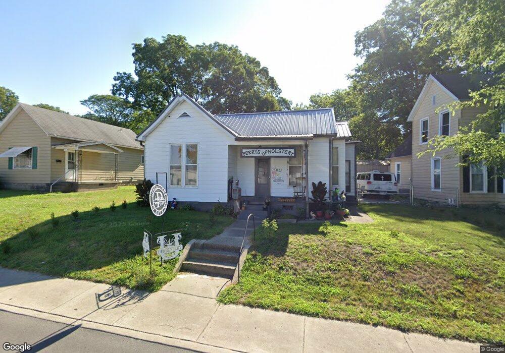
832 Main St Mount Vernon, IN 47620
Estimated Value: $83,205 - $130,000
2
Beds
1
Bath
1,338
Sq Ft
$80/Sq Ft
Est. Value
About This Home
This home is located at 832 Main St, Mount Vernon, IN 47620 and is currently estimated at $107,051, approximately $80 per square foot. 832 Main St is a home located in Posey County with nearby schools including Mount Vernon Junior High School, Mount Vernon High School, and St. Matthew Elementary School.
Ownership History
Date
Name
Owned For
Owner Type
Purchase Details
Closed on
Apr 14, 2008
Sold by
Riecken Louis W and Riecken Terri L
Bought by
Perry Derek Lee
Current Estimated Value
Purchase Details
Closed on
Nov 14, 2006
Sold by
Wells Fargo Bank Na
Bought by
Riecken Louis W and Riecken Terri L
Purchase Details
Closed on
Dec 15, 2005
Sold by
Wells Fargo Bank Na
Bought by
Wells Fargo Bank Minnesota Na and Norwest Bank Minnesota Na
Create a Home Valuation Report for This Property
The Home Valuation Report is an in-depth analysis detailing your home's value as well as a comparison with similar homes in the area
Home Values in the Area
Average Home Value in this Area
Purchase History
| Date | Buyer | Sale Price | Title Company |
|---|---|---|---|
| Perry Derek Lee | -- | None Available | |
| Riecken Louis W | -- | None Available | |
| Wells Fargo Bank Minnesota Na | -- | None Available | |
| Wells Fargo Bank Na | -- | None Available |
Source: Public Records
Tax History Compared to Growth
Tax History
| Year | Tax Paid | Tax Assessment Tax Assessment Total Assessment is a certain percentage of the fair market value that is determined by local assessors to be the total taxable value of land and additions on the property. | Land | Improvement |
|---|---|---|---|---|
| 2024 | $188 | $21,700 | $6,600 | $15,100 |
| 2023 | $186 | $22,300 | $6,600 | $15,700 |
| 2022 | $191 | $21,200 | $6,600 | $14,600 |
| 2021 | $181 | $19,500 | $6,600 | $12,900 |
| 2020 | $186 | $19,600 | $6,400 | $13,200 |
| 2019 | $178 | $19,100 | $6,400 | $12,700 |
| 2018 | $171 | $18,600 | $6,400 | $12,200 |
| 2017 | $166 | $19,100 | $7,000 | $12,100 |
| 2016 | $369 | $45,100 | $9,400 | $35,700 |
| 2014 | $335 | $43,000 | $9,400 | $33,600 |
| 2013 | $335 | $43,900 | $10,000 | $33,900 |
Source: Public Records
Map
Nearby Homes
- 305 Brown St
- 10800 Hwy 69 & Along Ohio River Rd
- 601 N Canal St
- 1230 Dereham Dr
- 311 W Grant St
- 1240 Mulberry St
- 427 E 5th St
- 1305 Locust St
- 531 E 5th St
- 407 W 4th St
- 317 E Lincoln Ave
- 230 Vine St
- 718 Davis Dr
- 816 E Lincoln Ave
- 521 W 2nd St
- 507 E Water St
- 1300 Harriett St
- 908 W 4th St
- 1112 E 4th St
- 317 Kennedy Dr