Estimated Value: $218,000 - $449,555
--
Bed
2
Baths
2,096
Sq Ft
$159/Sq Ft
Est. Value
About This Home
This home is located at 832 Martin Rd, Kite, GA 31049 and is currently estimated at $333,778, approximately $159 per square foot. 832 Martin Rd is a home located in Johnson County with nearby schools including Johnson County Elementary School, Johnson County Middle School, and Johnson County High School.
Ownership History
Date
Name
Owned For
Owner Type
Purchase Details
Closed on
Mar 30, 2007
Sold by
Boyette Liv Trust
Bought by
Jones Phillip W and Jones Elizabeth K
Current Estimated Value
Home Financials for this Owner
Home Financials are based on the most recent Mortgage that was taken out on this home.
Original Mortgage
$116,000
Interest Rate
6.15%
Mortgage Type
New Conventional
Purchase Details
Closed on
Aug 12, 1998
Sold by
Boyette Robert and Boyette Linda
Bought by
Boyette Living Trust
Create a Home Valuation Report for This Property
The Home Valuation Report is an in-depth analysis detailing your home's value as well as a comparison with similar homes in the area
Home Values in the Area
Average Home Value in this Area
Purchase History
| Date | Buyer | Sale Price | Title Company |
|---|---|---|---|
| Jones Phillip W | $146,000 | -- | |
| Boyette Living Trust | -- | -- |
Source: Public Records
Mortgage History
| Date | Status | Borrower | Loan Amount |
|---|---|---|---|
| Closed | Jones Phillip W | $116,000 |
Source: Public Records
Tax History Compared to Growth
Tax History
| Year | Tax Paid | Tax Assessment Tax Assessment Total Assessment is a certain percentage of the fair market value that is determined by local assessors to be the total taxable value of land and additions on the property. | Land | Improvement |
|---|---|---|---|---|
| 2024 | $2,565 | $129,420 | $61,748 | $67,672 |
| 2023 | $2,334 | $129,420 | $61,748 | $67,672 |
| 2022 | $2,435 | $129,420 | $61,748 | $67,672 |
| 2021 | $2,712 | $92,493 | $37,349 | $55,144 |
| 2020 | $2,161 | $92,493 | $37,349 | $55,144 |
| 2019 | $1,989 | $87,229 | $37,349 | $49,880 |
| 2018 | $2,558 | $87,228 | $37,348 | $49,880 |
| 2017 | $1,930 | $87,228 | $37,348 | $49,880 |
| 2016 | $2,558 | $87,228 | $37,348 | $49,880 |
| 2015 | -- | $89,208 | $37,348 | $51,860 |
| 2014 | -- | $89,208 | $37,348 | $51,860 |
| 2013 | -- | $89,208 | $37,348 | $51,859 |
Source: Public Records
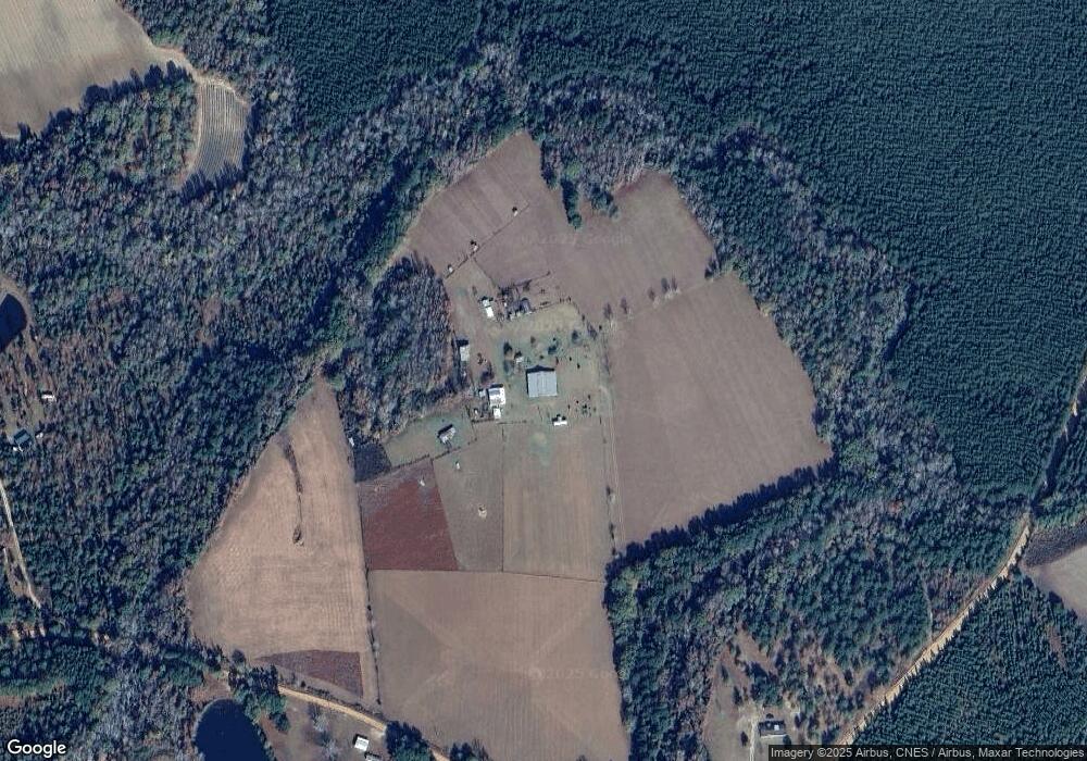
Map
Nearby Homes
- 0 Sardis Church Rd Unit 10601519
- 154 Bobby Fortner Rd
- 0 Trinity Church Rd
- 600 Alton Lawson Rd
- 400 Alton Lawson Rd
- 503 Alton Lawson Rd
- 0 Alton Lawson Rd
- 151 Brantley Midas Rd
- 53 Averett St
- 55 Hatcher St
- 2195 Montgomery St
- 87 Georgia Ave
- 0 Asa Lindsey Rd Unit 10595336
- 0 Cow Ford Bridge Rd Unit 10535184
- 0 Cow Ford Bridge Rd Unit 24270147
- 762 Old McLeod Bridge Rd
- 22 Jl Price Rd
- 0 Walden Way Unit 10601502
- 0000 Hwy 171
- 0 Bird Flanders Rd Unit 10628445