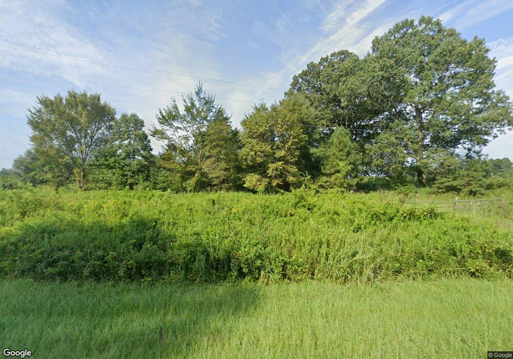
832 Nc Highway 45 S Windsor, NC 27983
Estimated Value: $351,865
--
Bed
--
Bath
--
Sq Ft
54.18
Acres
About This Home
This home is located at 832 Nc Highway 45 S, Windsor, NC 27983 and is currently estimated at $351,865. 832 Nc Highway 45 S is a home located in Bertie County with nearby schools including Colerain Elementary School, Bertie Middle School, and Bertie High.
Ownership History
Date
Name
Owned For
Owner Type
Purchase Details
Closed on
Nov 2, 2021
Sold by
Duck Dreams Llc
Bought by
832Hwy45s Llc
Current Estimated Value
Home Financials for this Owner
Home Financials are based on the most recent Mortgage that was taken out on this home.
Original Mortgage
$85,000
Interest Rate
2.88%
Mortgage Type
Seller Take Back
Purchase Details
Closed on
Dec 14, 2017
Sold by
Currin Currin C and Currin Sue A
Bought by
Duck Dreams Llc
Purchase Details
Closed on
Feb 4, 2010
Sold by
Price Linwood O and Price Julia D
Bought by
Currin C Allen
Create a Home Valuation Report for This Property
The Home Valuation Report is an in-depth analysis detailing your home's value as well as a comparison with similar homes in the area
Home Values in the Area
Average Home Value in this Area
Purchase History
| Date | Buyer | Sale Price | Title Company |
|---|---|---|---|
| 832Hwy45s Llc | $285,000 | Adock & Associates Pa | |
| Duck Dreams Llc | $40,000 | None Available | |
| Currin C Allen | $57,128 | -- |
Source: Public Records
Mortgage History
| Date | Status | Borrower | Loan Amount |
|---|---|---|---|
| Closed | 832Hwy45s Llc | $85,000 |
Source: Public Records
Tax History Compared to Growth
Tax History
| Year | Tax Paid | Tax Assessment Tax Assessment Total Assessment is a certain percentage of the fair market value that is determined by local assessors to be the total taxable value of land and additions on the property. | Land | Improvement |
|---|---|---|---|---|
| 2024 | $496 | $51,233 | $51,233 | $0 |
| 2023 | $496 | $51,233 | $51,233 | $0 |
| 2022 | $443 | $51,233 | $51,233 | $0 |
| 2021 | $502 | $51,233 | $51,233 | $0 |
| 2020 | $443 | $51,233 | $51,233 | $0 |
| 2019 | $523 | $60,424 | $60,424 | $0 |
| 2018 | $502 | $60,424 | $60,424 | $0 |
| 2017 | $502 | $60,424 | $60,424 | $0 |
| 2016 | $502 | $60,424 | $60,424 | $0 |
| 2015 | $792 | $60,424 | $60,424 | $0 |
| 2014 | $792 | $60,424 | $60,424 | $0 |
| 2013 | $792 | $60,424 | $60,424 | $0 |
Source: Public Records
Map
Nearby Homes
- 438 Old Merry Hill Rd
- 436 Old Merry Hill Rd
- 0 Sans Souci Rd
- 506 Batchelor Bay
- 458 Batchelor Bay
- 446 Batchelor Bay Dr
- 302 Jamestown Rd
- 2030 U S 17
- 2121 Us 17n
- 1547 U S 17
- 1541 U S 17
- 1430 Cooper Hill Rd
- 128 Prince
- 126 Prince
- 179 Herring Ln
- 183 Herring Ln
- 175 Herring
- 173 Herring
- 171 Herring
- 167 Herring
- 128 Sans Souci Rd
- 141 Sans Souci Rd
- 114 Sans Souci Rd
- 149 Sans Souci Rd
- 201 Sans Souci Rd
- 906 Nc Highway 45 S
- 130 Sans Souci Rd
- 130 Sans Souci Rd
- 729 Old Merry Hill Rd
- 750 Nc Highway 45 S
- 920 Nc Highway 45 S
- 136 Sutton Rd
- 239 Sans Souci Rd
- 241 Sans Souci Rd
- 108 Norman Ln
- 728 Old Merry Hill Rd
- 142 Sutton Rd
- 242 Sans Souci Rd
- 144 Sutton Rd
- 250 Sans Souci Rd
