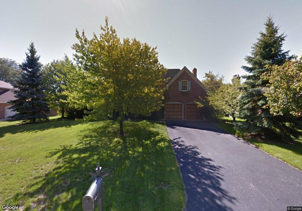
832 Red Stable Way Oak Brook, IL 60523
Estimated Value: $989,581 - $1,082,000
Studio
--
Bath
3,621
Sq Ft
$283/Sq Ft
Est. Value
About This Home
This home is located at 832 Red Stable Way, Oak Brook, IL 60523 and is currently estimated at $1,024,645, approximately $282 per square foot. 832 Red Stable Way is a home located in DuPage County with nearby schools including Highland Elementary School, Herrick Middle School, and Downer Grove North High School.
Ownership History
Date
Name
Owned For
Owner Type
Purchase Details
Closed on
Nov 11, 2025
Sold by
Myers Daria G
Bought by
Daria Gibson Myers Declaration Of Trust and Myers
Current Estimated Value
Purchase Details
Closed on
Mar 5, 2020
Sold by
Myers Ronald E and Myers Daria G
Bought by
Myers Ronald E and Myers Daria G
Home Financials for this Owner
Home Financials are based on the most recent Mortgage that was taken out on this home.
Original Mortgage
$575,664
Interest Rate
2.87%
Mortgage Type
VA
Create a Home Valuation Report for This Property
The Home Valuation Report is an in-depth analysis detailing your home's value as well as a comparison with similar homes in the area
Home Values in the Area
Average Home Value in this Area
Purchase History
| Date | Buyer | Sale Price | Title Company |
|---|---|---|---|
| Daria Gibson Myers Declaration Of Trust | -- | None Listed On Document | |
| Myers Ronald E | -- | Vantage Point Title Inc |
Source: Public Records
Mortgage History
| Date | Status | Borrower | Loan Amount |
|---|---|---|---|
| Previous Owner | Myers Ronald E | $575,664 |
Source: Public Records
Tax History
| Year | Tax Paid | Tax Assessment Tax Assessment Total Assessment is a certain percentage of the fair market value that is determined by local assessors to be the total taxable value of land and additions on the property. | Land | Improvement |
|---|---|---|---|---|
| 2024 | $13,251 | $281,975 | $112,758 | $169,217 |
| 2023 | $12,690 | $260,750 | $104,270 | $156,480 |
| 2022 | $12,225 | $250,650 | $100,230 | $150,420 |
| 2021 | $11,155 | $244,420 | $97,740 | $146,680 |
| 2020 | $10,907 | $239,070 | $95,600 | $143,470 |
| 2019 | $10,498 | $227,290 | $90,890 | $136,400 |
| 2018 | $10,782 | $229,510 | $86,040 | $143,470 |
| 2017 | $10,144 | $218,710 | $81,990 | $136,720 |
| 2016 | $9,828 | $206,040 | $77,240 | $128,800 |
| 2015 | $9,625 | $191,950 | $71,960 | $119,990 |
| 2014 | $9,785 | $188,940 | $73,620 | $115,320 |
| 2013 | $9,752 | $191,610 | $74,660 | $116,950 |
Source: Public Records
Map
Nearby Homes
- 2919 35th St
- 525 36th St
- 3845 Cumnor Rd
- 170 39th St
- 150 39th St
- 130 39th St
- 100 39th St
- 120 39th St
- 110 39th St
- 209 Herbert St
- 3810 Williams St
- 4003 Cumnor Rd
- 3855 Glendenning Rd
- 425 40th St
- 3811 N Park St
- 3112 Cara Ln
- 4141 Longmeadow Rd
- 3946 Earlston Rd
- 1753 Midwest Club Pkwy
- 1751 Midwest Club Pkwy
- 834 Red Stable Way
- 830 Red Stable Way
- 836 Red Stable Way
- 828 Red Stable Way
- 817 Red Stable Way
- 815 Red Stable Way
- 819 Red Stable Way
- 612 Ridgewood Ct
- 610 Ridgewood Ct
- 838 Red Stable Way
- 826 Red Stable Way
- 826 Red Stable Way
- 712 Brougham Ln
- 608 Ridgewood Ct
- 813 Red Stable Way
- 614 Ridgewood Ct
- 709 Brougham Ln
- 821 Red Stable Way
- 840 Red Stable Way
- 606 Ridgewood Ct
Your Personal Tour Guide
Ask me questions while you tour the home.