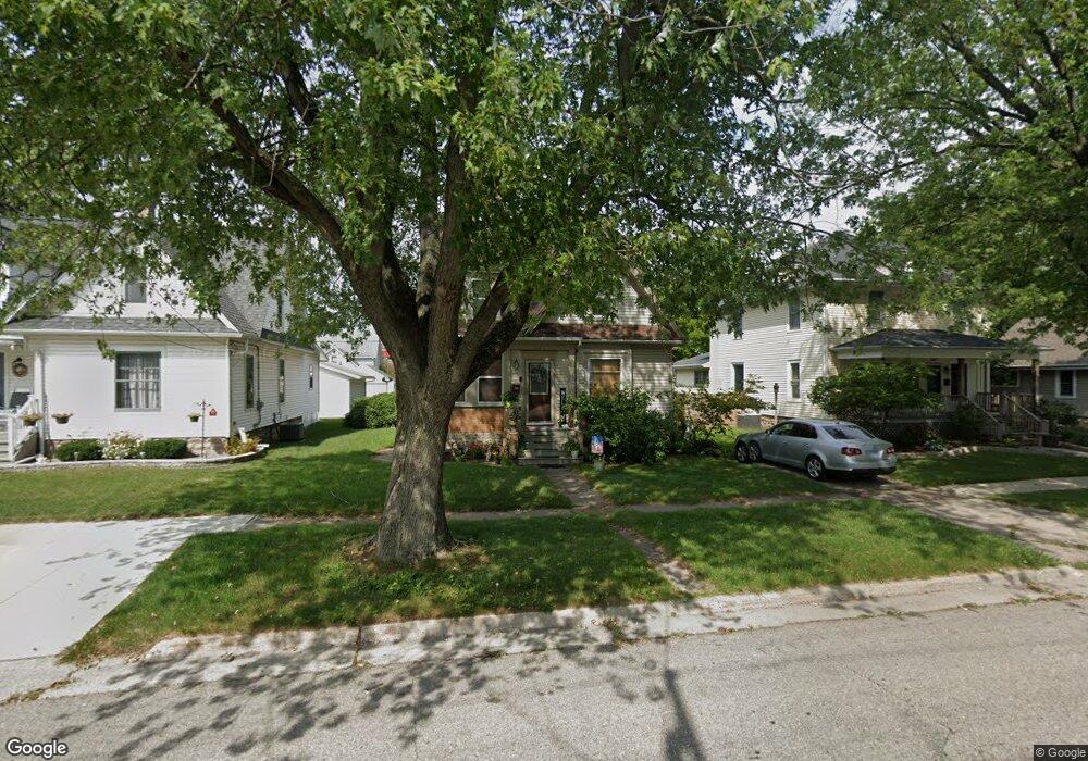
832 Roscoe Ave South Beloit, IL 61080
Estimated Value: $120,000 - $131,000
4
Beds
1
Bath
742
Sq Ft
$171/Sq Ft
Est. Value
About This Home
This home is located at 832 Roscoe Ave, South Beloit, IL 61080 and is currently estimated at $126,589, approximately $170 per square foot. 832 Roscoe Ave is a home located in Winnebago County with nearby schools including Clark Elementary School, Riverview Elementary School, and Blackhawk Elementary School.
Ownership History
Date
Name
Owned For
Owner Type
Purchase Details
Closed on
May 3, 2024
Sold by
123 Closed Llc
Bought by
810 Bains Holding Inc
Current Estimated Value
Home Financials for this Owner
Home Financials are based on the most recent Mortgage that was taken out on this home.
Original Mortgage
$76,800
Outstanding Balance
$59,161
Interest Rate
7.85%
Mortgage Type
New Conventional
Estimated Equity
$67,428
Purchase Details
Closed on
May 28, 1999
Bought by
Seiler Anton
Create a Home Valuation Report for This Property
The Home Valuation Report is an in-depth analysis detailing your home's value as well as a comparison with similar homes in the area
Home Values in the Area
Average Home Value in this Area
Purchase History
| Date | Buyer | Sale Price | Title Company |
|---|---|---|---|
| 810 Bains Holding Inc | $105,000 | None Listed On Document | |
| 123 Closed Llc | $78,000 | None Listed On Document | |
| Seiler Anton | $74,300 | -- |
Source: Public Records
Mortgage History
| Date | Status | Borrower | Loan Amount |
|---|---|---|---|
| Open | 810 Bains Holding Inc | $76,800 |
Source: Public Records
Tax History Compared to Growth
Tax History
| Year | Tax Paid | Tax Assessment Tax Assessment Total Assessment is a certain percentage of the fair market value that is determined by local assessors to be the total taxable value of land and additions on the property. | Land | Improvement |
|---|---|---|---|---|
| 2024 | $1,974 | $32,359 | $2,778 | $29,581 |
| 2023 | $1,898 | $29,040 | $2,493 | $26,547 |
| 2022 | $1,768 | $26,547 | $2,279 | $24,268 |
| 2021 | $1,685 | $24,939 | $2,141 | $22,798 |
| 2020 | $1,625 | $24,033 | $2,063 | $21,970 |
| 2019 | $1,590 | $22,957 | $1,971 | $20,986 |
| 2018 | $1,549 | $22,059 | $1,894 | $20,165 |
| 2017 | $1,559 | $21,276 | $1,827 | $19,449 |
| 2016 | $1,551 | $20,935 | $1,798 | $19,137 |
| 2015 | $1,516 | $20,337 | $1,747 | $18,590 |
| 2014 | $1,488 | $20,080 | $1,725 | $18,355 |
Source: Public Records
Map
Nearby Homes
- 317 Burr Oak Ave
- xxx Perry Ave
- 540 Eastern Ave
- 553 Northwestern Ave
- 532 Hemenway Place
- 110 Smith Ln
- 472 Clark St
- 620 Hemenway Place
- 314 Liston Ave
- 214 Sauk Ridge Dr Unit 1
- 214 Sauk Ridge Dr Unit 18214
- 14837 Clover Ln
- 666 S Bluff #818 St
- 127 S Blackhawk Blvd
- 216 Bluff St
- 15361 S Bluff Rd
- 215 S Moore St
- 5072 Hutchison Dr
- 1912 Blackhawk Blvd
- 423 Bluff St
- 836 Roscoe Ave
- 826 Roscoe Ave
- 838 Roscoe Ave
- 822 Roscoe Ave
- 844 Roscoe Ave
- 833 Blackhawk Blvd
- 825 Blackhawk Blvd
- 837 Blackhawk Blvd
- 818 Roscoe Ave
- 846 Roscoe Ave
- 835 Roscoe Ave
- 825 Roscoe Ave
- 821 Blackhawk Blvd
- 843 Blackhawk Blvd
- 837 Roscoe Ave
- 821 Roscoe Ave
- 814 Roscoe Ave
- 817 Roscoe Ave
- 845 Blackhawk Blvd
- 845 Roscoe Ave