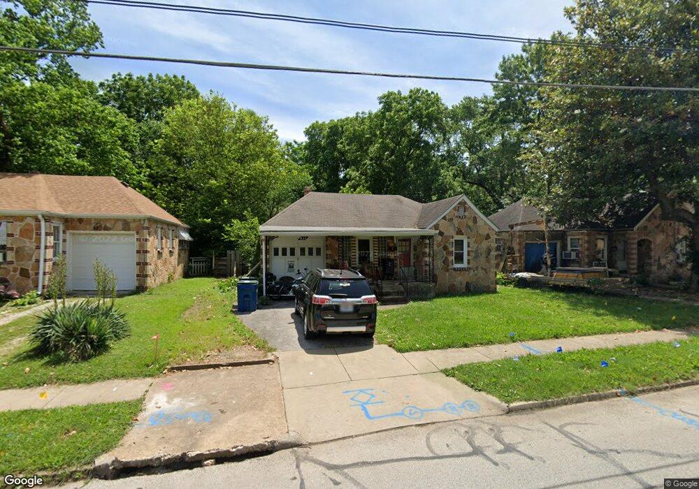
832 S Fort Ave Springfield, MO 65806
West Central NeighborhoodEstimated Value: $120,000 - $131,000
2
Beds
1
Bath
962
Sq Ft
$130/Sq Ft
Est. Value
About This Home
This home is located at 832 S Fort Ave, Springfield, MO 65806 and is currently estimated at $124,656, approximately $129 per square foot. 832 S Fort Ave is a home located in Greene County with nearby schools including McGregor Elementary, Parkview High School, and St. Agnes Cathedral School.
Ownership History
Date
Name
Owned For
Owner Type
Purchase Details
Closed on
Feb 2, 2017
Sold by
Jay Kaye Rental Llc
Bought by
23Z12172013f00832 Trust and Plemmons Cr
Current Estimated Value
Purchase Details
Closed on
Sep 13, 2013
Sold by
Warren Billy and Davis Letta Jane
Bought by
Jay And Kaye Rentals Llc
Home Financials for this Owner
Home Financials are based on the most recent Mortgage that was taken out on this home.
Original Mortgage
$33,300
Interest Rate
4.41%
Mortgage Type
Future Advance Clause Open End Mortgage
Create a Home Valuation Report for This Property
The Home Valuation Report is an in-depth analysis detailing your home's value as well as a comparison with similar homes in the area
Home Values in the Area
Average Home Value in this Area
Purchase History
| Date | Buyer | Sale Price | Title Company |
|---|---|---|---|
| 23Z12172013f00832 Trust | -- | None Available | |
| Jay And Kaye Rentals Llc | -- | None Available |
Source: Public Records
Mortgage History
| Date | Status | Borrower | Loan Amount |
|---|---|---|---|
| Previous Owner | Jay And Kaye Rentals Llc | $33,300 |
Source: Public Records
Tax History
| Year | Tax Paid | Tax Assessment Tax Assessment Total Assessment is a certain percentage of the fair market value that is determined by local assessors to be the total taxable value of land and additions on the property. | Land | Improvement |
|---|---|---|---|---|
| 2025 | $612 | $12,290 | $3,800 | $8,490 |
| 2024 | $515 | $9,600 | $2,150 | $7,450 |
| 2023 | $512 | $9,600 | $2,150 | $7,450 |
| 2022 | $501 | $9,180 | $2,150 | $7,030 |
| 2021 | $501 | $9,180 | $2,150 | $7,030 |
| 2020 | $505 | $8,840 | $2,150 | $6,690 |
| 2019 | $491 | $8,840 | $2,150 | $6,690 |
| 2018 | $543 | $9,790 | $2,150 | $7,640 |
| 2017 | $538 | $9,050 | $2,150 | $6,900 |
| 2016 | $496 | $9,050 | $2,150 | $6,900 |
| 2015 | $491 | $9,050 | $2,150 | $6,900 |
| 2014 | $490 | $8,950 | $2,150 | $6,800 |
Source: Public Records
Map
Nearby Homes
- 852 S New Ave
- 814 S Nettleton Ave
- 646 S Fort Ave
- 1040 W State St
- 910 S Nettleton Ave
- 855 S Broadway Ave
- 942 S Nettleton Ave
- 1012 S Fort Ave
- 1126 W Mount Vernon St
- 620 S Weaver Ct
- 809 S Missouri Ave
- 900 S Missouri Ave
- 1328 W Elm St
- 503 S New Ave
- 816 W State St
- 447 S New Ave
- 739 S Douglas Ave
- 1335 W Elm St
- 1710 W Belmont St
- 1021 S Lexington Ave
- 836 S Fort Ave
- 826 S Fort Ave
- 840 S Fort Ave
- 822 S Fort Ave
- 816 S Fort Ave
- 831 S Ferguson Ave
- 837 S Ferguson Ave
- 841 S Ferguson Ave
- 825 S Ferguson Ave
- 825 S Ferguson Ave Unit A
- 812 S Fort Ave
- 819 S Ferguson Ave
- 831 S Fort Ave
- 825 S Fort Ave
- 821 S Ferguson Ave
- 847 S Ferguson Ave
- 821 S Fort Ave
- 1220 W Madison St
- 817 S Fort Ave
- 1212 W Madison St
Your Personal Tour Guide
Ask me questions while you tour the home.