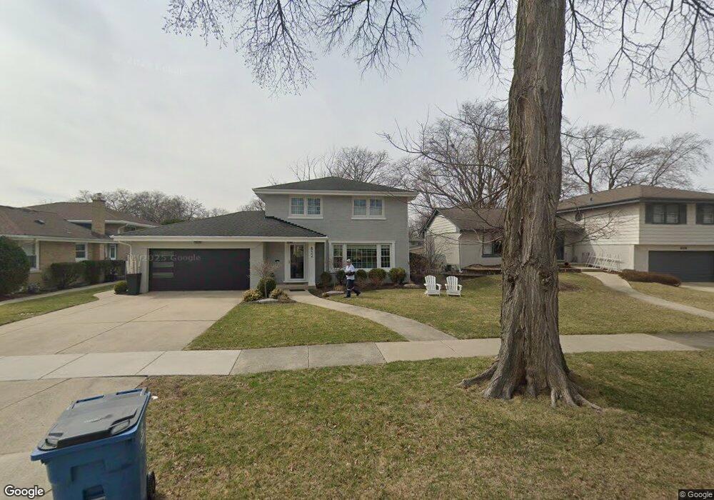
832 S Kent Ave Elmhurst, IL 60126
Estimated Value: $767,000 - $1,005,000
4
Beds
2
Baths
1,944
Sq Ft
$479/Sq Ft
Est. Value
About This Home
This home is located at 832 S Kent Ave, Elmhurst, IL 60126 and is currently estimated at $931,130, approximately $478 per square foot. 832 S Kent Ave is a home located in DuPage County with nearby schools including Pulaski Intl School of Chicago, Revere Elementary School, and Jackson Elementary School.
Ownership History
Date
Name
Owned For
Owner Type
Purchase Details
Closed on
Aug 17, 2020
Sold by
Wilkins Dan and Wilkins Cara
Bought by
Valdiserri Shelly R and Shelly R Valdiserri Revocable Trust
Current Estimated Value
Home Financials for this Owner
Home Financials are based on the most recent Mortgage that was taken out on this home.
Original Mortgage
$510,400
Outstanding Balance
$452,761
Interest Rate
3%
Mortgage Type
New Conventional
Estimated Equity
$478,369
Purchase Details
Closed on
May 24, 2011
Sold by
Hootman Thomas A and Estate Of Mildred H Hootman
Bought by
Wilkins Dan and Wilkins Cara
Create a Home Valuation Report for This Property
The Home Valuation Report is an in-depth analysis detailing your home's value as well as a comparison with similar homes in the area
Home Values in the Area
Average Home Value in this Area
Purchase History
| Date | Buyer | Sale Price | Title Company |
|---|---|---|---|
| Valdiserri Shelly R | $715,000 | Chicago Title | |
| Wilkins Dan | $327,500 | Atg |
Source: Public Records
Mortgage History
| Date | Status | Borrower | Loan Amount |
|---|---|---|---|
| Open | Valdiserri Shelly R | $510,400 |
Source: Public Records
Tax History Compared to Growth
Tax History
| Year | Tax Paid | Tax Assessment Tax Assessment Total Assessment is a certain percentage of the fair market value that is determined by local assessors to be the total taxable value of land and additions on the property. | Land | Improvement |
|---|---|---|---|---|
| 2024 | $15,882 | $271,529 | $106,875 | $164,654 |
| 2023 | $14,758 | $251,090 | $98,830 | $152,260 |
| 2022 | $14,272 | $241,360 | $94,990 | $146,370 |
| 2021 | $13,922 | $235,360 | $92,630 | $142,730 |
| 2020 | $13,387 | $230,200 | $90,600 | $139,600 |
| 2019 | $13,112 | $218,860 | $86,140 | $132,720 |
| 2018 | $13,333 | $221,220 | $81,550 | $139,670 |
| 2017 | $13,049 | $210,800 | $77,710 | $133,090 |
| 2016 | $12,784 | $198,590 | $73,210 | $125,380 |
| 2015 | $10,900 | $185,010 | $68,200 | $116,810 |
| 2014 | $7,101 | $123,140 | $54,130 | $69,010 |
| 2013 | $7,051 | $124,870 | $54,890 | $69,980 |
Source: Public Records
Map
Nearby Homes
- 162 E Hale St
- 837 S Kearsage Ave
- 185 E Oneida Ave
- 694 S York St
- 680 S Bryan St
- 936 S Mitchell Ave
- 900 S Colfax Ave
- 814 S Saylor Ave
- 100 W Butterfield Rd Unit 112N
- 762 S Saylor Ave
- 801 S Spring Rd
- 805 S Spring Rd
- 110 W Butterfield Rd Unit 502S
- 1005 S Mitchell Ave
- 991 S Swain Ave
- 995 S Swain Ave
- 963 S Saylor Ave
- 816 S Spring Rd
- 611 S Prospect Ave
- 274 E Crescent Ave
- 838 S Kent Ave
- 828 S Kent Ave
- 842 S Kent Ave
- 822 S Kent Ave
- 833 S Euclid Ave
- 839 S Euclid Ave
- 846 S Kent Ave
- 827 S Euclid Ave
- 843 S Euclid Ave
- 116 E Adams St
- 831 S Kent Ave
- 133 E Quincy St
- 823 S Euclid Ave
- 847 S Euclid Ave
- 827 S Kent Ave
- 852 S Kent Ave
- 106 E Adams St
- 823 S Kent Ave
- 134 E Quincy St
- 851 S Euclid Ave