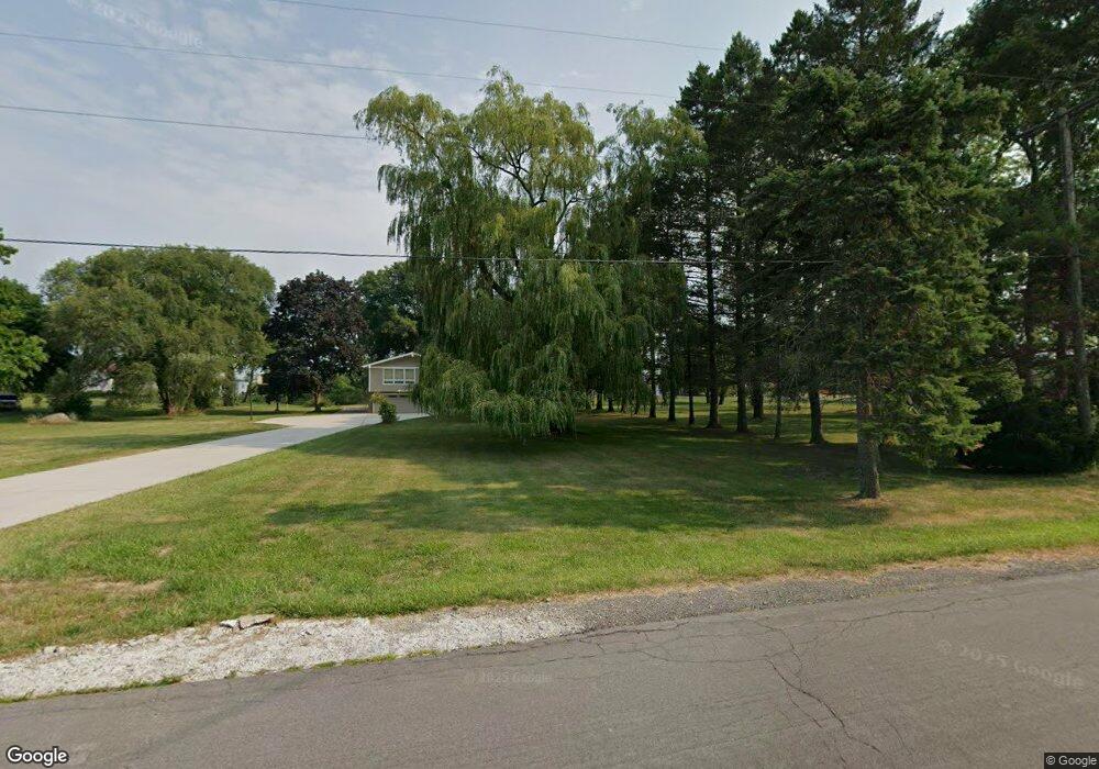
832 The Cir Lewiston, NY 14092
Estimated Value: $321,000 - $373,000
3
Beds
2
Baths
1,536
Sq Ft
$226/Sq Ft
Est. Value
About This Home
This home is located at 832 The Cir, Lewiston, NY 14092 and is currently estimated at $347,498, approximately $226 per square foot. 832 The Cir is a home located in Niagara County with nearby schools including Primary Education Center, Intermediate Education Center, and Lewiston Porter Middle School.
Ownership History
Date
Name
Owned For
Owner Type
Purchase Details
Closed on
Feb 4, 2010
Sold by
Carr Richard L
Bought by
Fanizzi Andrew
Current Estimated Value
Home Financials for this Owner
Home Financials are based on the most recent Mortgage that was taken out on this home.
Original Mortgage
$144,000
Outstanding Balance
$95,732
Interest Rate
5.12%
Mortgage Type
New Conventional
Estimated Equity
$251,766
Create a Home Valuation Report for This Property
The Home Valuation Report is an in-depth analysis detailing your home's value as well as a comparison with similar homes in the area
Home Values in the Area
Average Home Value in this Area
Purchase History
| Date | Buyer | Sale Price | Title Company |
|---|---|---|---|
| Fanizzi Andrew | $180,000 | None Available |
Source: Public Records
Mortgage History
| Date | Status | Borrower | Loan Amount |
|---|---|---|---|
| Open | Fanizzi Andrew | $144,000 |
Source: Public Records
Tax History Compared to Growth
Tax History
| Year | Tax Paid | Tax Assessment Tax Assessment Total Assessment is a certain percentage of the fair market value that is determined by local assessors to be the total taxable value of land and additions on the property. | Land | Improvement |
|---|---|---|---|---|
| 2024 | $7,523 | $149,500 | $43,800 | $105,700 |
| 2023 | $7,523 | $149,500 | $43,800 | $105,700 |
| 2022 | $6,611 | $149,500 | $43,800 | $105,700 |
| 2021 | $6,541 | $149,500 | $43,800 | $105,700 |
| 2020 | $6,515 | $149,500 | $43,800 | $105,700 |
| 2019 | $6,108 | $149,500 | $43,800 | $105,700 |
| 2018 | $6,285 | $149,500 | $43,800 | $105,700 |
| 2017 | $6,108 | $149,500 | $43,800 | $105,700 |
| 2016 | $6,116 | $149,500 | $43,800 | $105,700 |
| 2015 | -- | $149,500 | $43,800 | $105,700 |
| 2014 | -- | $149,500 | $43,800 | $105,700 |
Source: Public Records
Map
Nearby Homes
- 859 The Cir
- 905 Sullivan Ct
- 5092 Dana Dr
- Madison II Plan at Essex Ridge
- Weston Plan at Essex Ridge
- Arbor Essex Ridge Plan at Essex Ridge
- Berkley Essex Ridge Plan at Essex Ridge
- Danbury Essex Ridge Plan at Essex Ridge
- Wexford Plan at Essex Ridge
- Eastbrook Essex Ridge Plan at Essex Ridge
- Easton Plan at Essex Ridge
- Concorde Essex Ridge Plan at Essex Ridge
- Fenway II Plan at Essex Ridge
- 4873 Creek Rd
- 4951 Big Vista Dr
- 737 Mountain View Dr
- 741 Ridge Rd
- 700 Mountain View Dr
- 1014 Little Vista Dr
- 5144 Dana Dr
- 828 The Cir
- 836 The Circle Dr
- 840 The Circle Dr
- 822 The Circle Dr
- 829 The Cir
- 865 Escarpment Dr
- 835 The Cir
- 823 The Cir
- 841 The Cir
- 5150 Oakhill Dr
- 818 The Cir
- 869 Escarpment Dr
- 845 The Cir
- 814 The Circle Dr
- 5135 Oakhill Dr Unit 300
- 5135 Oakhill Dr
- 877 Escarpment Dr
- 817 The Cir
- 817 The Circle Dr
- 849 The Cir