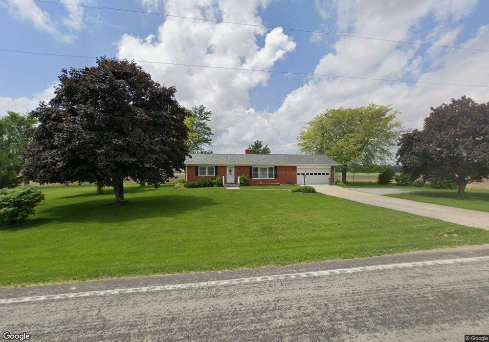
8320 State Route 589 Fletcher, OH 45326
Estimated Value: $268,000 - $284,000
2
Beds
1
Bath
1,196
Sq Ft
$232/Sq Ft
Est. Value
About This Home
This home is located at 8320 State Route 589, Fletcher, OH 45326 and is currently estimated at $277,990, approximately $232 per square foot. 8320 State Route 589 is a home located in Miami County with nearby schools including Miami East Elementary School, Miami East Junior High School, and Miami East High School.
Ownership History
Date
Name
Owned For
Owner Type
Purchase Details
Closed on
Aug 22, 2025
Sold by
Maggert Lynn R
Bought by
Herndon John Archer and Paulus Pamela Sue
Current Estimated Value
Home Financials for this Owner
Home Financials are based on the most recent Mortgage that was taken out on this home.
Original Mortgage
$150,000
Outstanding Balance
$149,870
Interest Rate
6.72%
Mortgage Type
New Conventional
Estimated Equity
$128,120
Purchase Details
Closed on
Mar 6, 2023
Sold by
Maggert Lynn R
Bought by
Maggert Lynn R and Maggert Cynthia A
Purchase Details
Closed on
Feb 2, 1999
Sold by
Estate Of Dorothy M Counts
Bought by
Maggert Lynn R
Home Financials for this Owner
Home Financials are based on the most recent Mortgage that was taken out on this home.
Original Mortgage
$94,949
Interest Rate
6.75%
Mortgage Type
FHA
Purchase Details
Closed on
Jan 1, 1990
Bought by
Counts Lloyd
Create a Home Valuation Report for This Property
The Home Valuation Report is an in-depth analysis detailing your home's value as well as a comparison with similar homes in the area
Home Values in the Area
Average Home Value in this Area
Purchase History
| Date | Buyer | Sale Price | Title Company |
|---|---|---|---|
| Herndon John Archer | $280,000 | None Listed On Document | |
| Maggert Lynn R | -- | None Listed On Document | |
| Maggert Lynn R | $95,000 | -- | |
| Counts Lloyd | -- | -- |
Source: Public Records
Mortgage History
| Date | Status | Borrower | Loan Amount |
|---|---|---|---|
| Open | Herndon John Archer | $150,000 | |
| Previous Owner | Maggert Lynn R | $94,949 |
Source: Public Records
Tax History Compared to Growth
Tax History
| Year | Tax Paid | Tax Assessment Tax Assessment Total Assessment is a certain percentage of the fair market value that is determined by local assessors to be the total taxable value of land and additions on the property. | Land | Improvement |
|---|---|---|---|---|
| 2024 | $1,657 | $46,630 | $7,810 | $38,820 |
| 2023 | $1,657 | $46,630 | $7,810 | $38,820 |
| 2022 | $1,702 | $46,630 | $7,810 | $38,820 |
| 2021 | $1,512 | $38,850 | $6,510 | $32,340 |
| 2020 | $1,520 | $38,850 | $6,510 | $32,340 |
| 2019 | $1,543 | $38,850 | $6,510 | $32,340 |
| 2018 | $1,546 | $38,050 | $6,510 | $31,540 |
| 2017 | $1,516 | $38,050 | $6,510 | $31,540 |
| 2016 | $1,426 | $38,050 | $6,510 | $31,540 |
| 2015 | $1,406 | $35,210 | $6,020 | $29,190 |
| 2014 | $1,406 | $35,210 | $6,020 | $29,190 |
| 2013 | $1,351 | $35,210 | $6,020 | $29,190 |
Source: Public Records
Map
Nearby Homes
- 7210 N Bollinger Rd
- 108 E 2nd St
- 106 E 1st St
- 0 3rd St
- 148 Dorsey Hageman Rd
- 10568 N Casstown Sidney Rd
- 4845 E Troy Urbana Rd
- 111 Rupolo Dr
- 115 S High St
- 203 W Main St
- 218 W Troy St
- 2920 Hoying Dr
- 2912 Hoying Dr
- 211 Dugan St
- 101 Maple Dr
- 133 Dugan St
- 126 Bowersock Ave
- 2199 Bulle Rd
- 309 N Grant St
- 213 N Main St
- 8260 State Route 589
- 7063 State Route 36
- 7103 State Route 36
- 6833 Us Route 36
- 6833 Us Route 36
- 6833 Us Route 36
- 7126 Us Route 36
- 6830 Us Route 36
- 6830 State Route 36
- 6800 Us Route 36
- 7235 Us Route 36
- 7235 U S 36
- 7235 Us Route 36
- 7235 Us Route 36
- 7235 E U S Rt 36
- 7905 Sodom Ballou Rd
- 8705 State Route 589
- 8844 State Route 589
- 7787 Sodom Ballou Rd
- 7445 Us Route 36