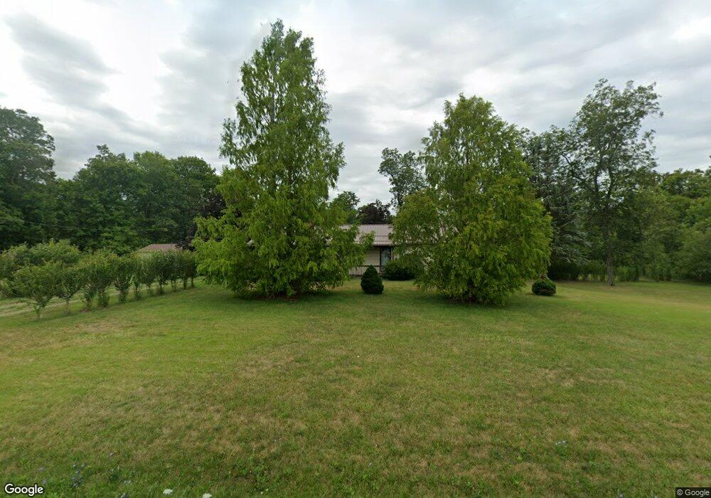
8323 State Route 316 W Orient, OH 43146
Estimated Value: $207,194 - $361,000
3
Beds
1
Bath
960
Sq Ft
$264/Sq Ft
Est. Value
About This Home
This home is located at 8323 State Route 316 W, Orient, OH 43146 and is currently estimated at $253,799, approximately $264 per square foot. 8323 State Route 316 W is a home located in Pickaway County with nearby schools including Westfall Elementary School, Westfall Middle School, and Westfall High School.
Ownership History
Date
Name
Owned For
Owner Type
Purchase Details
Closed on
Nov 7, 1994
Sold by
Huber Harry L
Bought by
Bamfield Larry E and Bamfield Nancy
Current Estimated Value
Home Financials for this Owner
Home Financials are based on the most recent Mortgage that was taken out on this home.
Original Mortgage
$119,000
Interest Rate
8.75%
Mortgage Type
New Conventional
Create a Home Valuation Report for This Property
The Home Valuation Report is an in-depth analysis detailing your home's value as well as a comparison with similar homes in the area
Home Values in the Area
Average Home Value in this Area
Purchase History
| Date | Buyer | Sale Price | Title Company |
|---|---|---|---|
| Bamfield Larry E | $95,000 | -- |
Source: Public Records
Mortgage History
| Date | Status | Borrower | Loan Amount |
|---|---|---|---|
| Closed | Bamfield Larry E | $119,000 |
Source: Public Records
Tax History Compared to Growth
Tax History
| Year | Tax Paid | Tax Assessment Tax Assessment Total Assessment is a certain percentage of the fair market value that is determined by local assessors to be the total taxable value of land and additions on the property. | Land | Improvement |
|---|---|---|---|---|
| 2024 | -- | $50,370 | $6,070 | $44,300 |
| 2023 | $1,301 | $50,370 | $6,070 | $44,300 |
| 2022 | $995 | $37,210 | $4,820 | $32,390 |
| 2021 | $1,004 | $37,210 | $4,820 | $32,390 |
| 2020 | $1,006 | $37,210 | $4,820 | $32,390 |
| 2019 | $710 | $30,140 | $4,460 | $25,680 |
| 2018 | $747 | $30,140 | $4,460 | $25,680 |
| 2017 | $752 | $30,140 | $4,460 | $25,680 |
| 2016 | $673 | $28,420 | $4,110 | $24,310 |
| 2015 | $689 | $28,420 | $4,110 | $24,310 |
| 2014 | $696 | $28,420 | $4,110 | $24,310 |
| 2013 | $798 | $30,290 | $4,110 | $26,180 |
Source: Public Records
Map
Nearby Homes
- 8187 Ohio 316
- 8990 Water St
- 9141 Water St
- 6694 Brooks Miller Rd
- 13450 Commercial Point Rd
- 9924 Keplar Ford Rd
- 0 Matville Rd Unit 225036975
- 0 Matville Rd Unit 225031013
- 0 Matville Rd Unit 225030661
- 0 Matville Rd Unit 225030635
- 4747 W Ford Rd
- 4740 Ohio 316 Unit Tract 1
- 7700 Scioto-Darby Rd
- 0 Scioto-Darby Rd Unit 225032793
- 11652 Matville Rd
- 11821 State Route 56 W
- 500 Walker Pointe Dr
- 486 Creekside Dr
- 513 Heidish Dr
- 502 Conley Dr
- 8343 State Route 316 W
- 8363 State Route 316 W
- 8245 State Route 316 W
- 8239 State Route 316 W
- 8217 State Route 316 W
- 8421 State Route 316 W
- 8201 State Route 316 W
- 8437 State Route 316 W
- 15084 Matville Rd
- 15804 Matville Rd
- 15949 Matville Rd
- 8467 State Route 316 W
- 15815 Matville Rd
- 15800 Matville Rd
- 15877 Matville Rd
- 15732 Matville Rd
- 15728 Matville Rd
- 15773 Matville Rd
- 8520 State Route 316 W
- 15761 Matville Rd