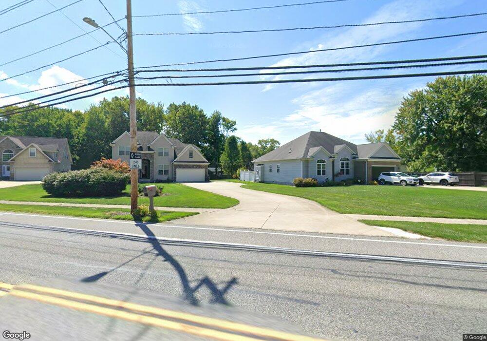
8326 Munson Rd Mentor, OH 44060
Estimated Value: $395,000 - $498,000
About This Home
This home is located at 8326 Munson Rd, Mentor, OH 44060 and is currently estimated at $454,423, approximately $218 per square foot. 8326 Munson Rd is a home located in Lake County with nearby schools including Fairfax Elementary School, Memorial Middle School, and Mentor High School.
Ownership History
We collect this data history from publicly available records. To have your information removed, we recommend requesting removal directly through your county’s website.
Purchase Details
Home Financials for this Owner
Home Financials are based on the most recent Mortgage that was taken out on this home.Purchase Details
Home Financials for this Owner
Home Financials are based on the most recent Mortgage that was taken out on this home.Purchase Details
Purchase Details
Purchase Details
Home Financials for this Owner
Home Financials are based on the most recent Mortgage that was taken out on this home.Purchase Details
Home Financials for this Owner
Home Financials are based on the most recent Mortgage that was taken out on this home.Purchase Details
Home Values in the Area
Average Home Value in this Area
Purchase History
We collect this data history from publicly available records. To have your information removed, we recommend requesting removal directly through your county’s website.
| Date | Buyer | Sale Price | Title Company |
|---|---|---|---|
| -- | None Available | ||
| $286,400 | -- | ||
| $75,900 | Phoenix Title | ||
| $121,500 | -- | ||
| $110,000 | Ohio Title Corporation | ||
| -- | Quality Title Agency Inc | ||
| -- | -- |
Mortgage History
We collect this data history from publicly available records. To have your information removed, we recommend requesting removal directly through your county’s website.
| Date | Status | Borrower | Loan Amount |
|---|---|---|---|
| Open | $199,710 | ||
| Previous Owner | $229,120 | ||
| Previous Owner | $70,000 | ||
| Previous Owner | $67,374 | ||
| Closed | $28,640 |
Tax History
We collect this data history from publicly available records. To have your information removed, we recommend requesting removal directly through your county’s website.
| Year | Tax Paid | Tax Assessment Tax Assessment Total Assessment is a certain percentage of the fair market value that is determined by local assessors to be the total taxable value of land and additions on the property. | Land | Improvement |
|---|---|---|---|---|
| 2025 | -- | $150,610 | $29,250 | $121,360 |
| 2024 | -- | $150,610 | $29,250 | $121,360 |
| 2023 | $11,921 | $114,720 | $20,730 | $93,990 |
| 2022 | $5,421 | $114,720 | $20,730 | $93,990 |
| 2021 | $5,545 | $114,720 | $20,730 | $93,990 |
| 2020 | $5,368 | $97,210 | $17,560 | $79,650 |
| 2019 | $5,374 | $97,210 | $17,560 | $79,650 |
| 2018 | $5,356 | $95,250 | $22,690 | $72,560 |
| 2017 | $5,517 | $95,250 | $22,690 | $72,560 |
| 2016 | $5,480 | $95,250 | $22,690 | $72,560 |
| 2015 | $4,906 | $95,250 | $22,690 | $72,560 |
| 2014 | $4,635 | $88,650 | $22,690 | $65,960 |
| 2013 | $4,640 | $88,650 | $22,690 | $65,960 |
Map
- 6216 Center St Unit 6216
- 8352 Quail Point Ln Unit 8352
- 6146 Tiffin Ct Unit 6C
- 6267 Melshore Dr
- 6419 Cambridge Park Dr
- 8126 Munson Rd
- 8242 Starburst Rd
- 8379 Fairfax Dr
- 0 Collins Rd
- 8139 Yorkshire Dr
- 8233 Edgewood Rd
- 8203 Plains Rd
- 8556 Barbara Dr
- 7857 Emery Cir
- 8225 Lancaster Dr Unit 5
- 6783 Kirkwood Dr
- 8688 Marjory Dr
- 6394 Meadowbrook Dr
- 6082 Andrews Rd
- 5859 Sequoia Ct
- 8350 Munson Rd
- 8350 Munson Rd
- 8340 Munson Rd
- 6275 Glenwood Dr
- 6271 Glenwood Dr
- 6281 Glenwood Dr
- 8349 Munson Rd
- 8330 Munson Rd
- 6265 Glenwood Dr
- 8375 Munson Rd
- 6289 Glenwood Dr
- 6259 Glenwood Dr
- 6295 Glenwood Dr
- 8337 Munson Rd
- 6255 Glenwood Dr
- 6303 Glenwood Dr
- 8385 Munson Rd
- 8325 Munson Rd
- 6280 Glenwood Dr
- 6251 Glenwood Dr
Ask me questions while you tour the home.