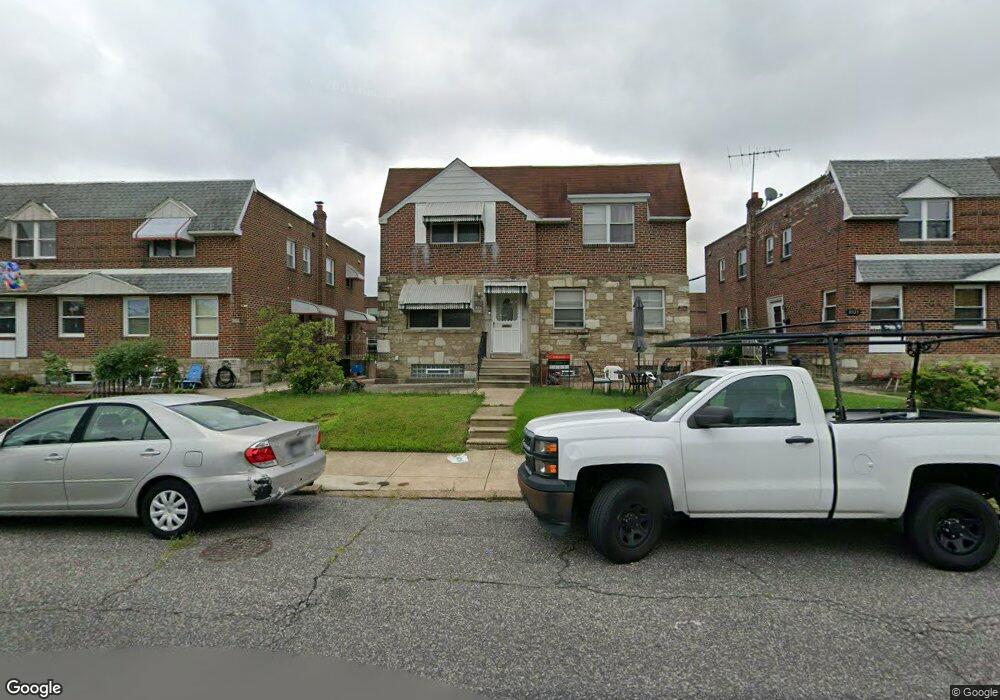
8327 Loretto Ave Philadelphia, PA 19152
Rhawnhurst NeighborhoodEstimated Value: $291,964 - $325,000
--
Bed
--
Bath
1,328
Sq Ft
$233/Sq Ft
Est. Value
About This Home
This home is located at 8327 Loretto Ave, Philadelphia, PA 19152 and is currently estimated at $309,741, approximately $233 per square foot. 8327 Loretto Ave is a home with nearby schools including Farrell Louis H School, Northeast High School, and Tacony Academy Charter School.
Ownership History
Date
Name
Owned For
Owner Type
Purchase Details
Closed on
May 1, 2003
Sold by
Santiago Napolean G and Santiago Bernadette T
Bought by
Cani Ardian and Cani Donika
Current Estimated Value
Home Financials for this Owner
Home Financials are based on the most recent Mortgage that was taken out on this home.
Original Mortgage
$94,500
Outstanding Balance
$41,490
Interest Rate
5.93%
Mortgage Type
Purchase Money Mortgage
Estimated Equity
$268,251
Create a Home Valuation Report for This Property
The Home Valuation Report is an in-depth analysis detailing your home's value as well as a comparison with similar homes in the area
Home Values in the Area
Average Home Value in this Area
Purchase History
| Date | Buyer | Sale Price | Title Company |
|---|---|---|---|
| Cani Ardian | $105,000 | Lawyers Title Insurance Corp |
Source: Public Records
Mortgage History
| Date | Status | Borrower | Loan Amount |
|---|---|---|---|
| Open | Cani Ardian | $94,500 |
Source: Public Records
Tax History Compared to Growth
Tax History
| Year | Tax Paid | Tax Assessment Tax Assessment Total Assessment is a certain percentage of the fair market value that is determined by local assessors to be the total taxable value of land and additions on the property. | Land | Improvement |
|---|---|---|---|---|
| 2025 | $3,341 | $298,100 | $59,620 | $238,480 |
| 2024 | $3,341 | $298,100 | $59,620 | $238,480 |
| 2023 | $3,341 | $238,700 | $47,740 | $190,960 |
| 2022 | $3,341 | $238,700 | $47,740 | $190,960 |
| 2021 | $2,767 | $0 | $0 | $0 |
| 2020 | $2,767 | $0 | $0 | $0 |
| 2019 | $2,520 | $0 | $0 | $0 |
| 2018 | $2,387 | $0 | $0 | $0 |
| 2017 | $2,387 | $0 | $0 | $0 |
| 2016 | -- | $0 | $0 | $0 |
| 2015 | -- | $0 | $0 | $0 |
| 2014 | -- | $170,500 | $34,702 | $135,798 |
| 2012 | -- | $22,880 | $1,831 | $21,049 |
Source: Public Records
Map
Nearby Homes
- 2155 Benson St
- 2162 Strahle St
- 2013 Fuller St
- 1702 Arthur St
- 1711 Kendrick St
- 1716 Bergen St
- 1700 Kendrick St
- 1931 33 Rhawn St
- 1828 Megargee St
- 8127 Langdon St
- 1704 Stanwood St
- 1617 Solly Ave
- 2201 Strahle St Unit C302
- 1907 Tustin St
- 2223 Emerson St
- 1718 Rhawn St
- 2230 Emerson St
- 1712 Tustin St
- 1625 Rhawn St
- 2232 Stanwood St
- 8325 Loretto Ave
- 8329 Loretto Ave
- 8323 Loretto Ave
- 8331 Loretto Ave
- 8321 Loretto Ave
- 8333 Loretto Ave
- 8319 Loretto Ave
- 8320 Alma St
- 8322 Alma St
- 8324 Alma St
- 8318 Alma St
- 8335 Loretto Ave
- 8316 Alma St
- 8326 Alma St
- 8317 Loretto Ave
- 1851 Benson St
- 1850 Strahle St
- 8337 Loretto Ave
- 8328 Alma St
- 8315 Loretto Ave