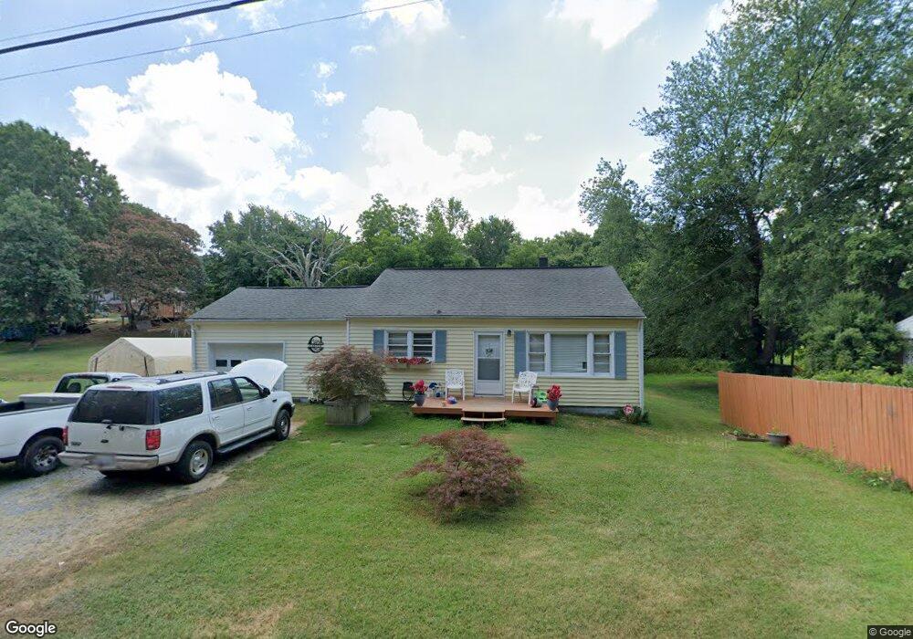
833 Danwood St Asheboro, NC 27205
Estimated Value: $171,000 - $192,000
--
Bed
1
Bath
1,024
Sq Ft
$178/Sq Ft
Est. Value
About This Home
This home is located at 833 Danwood St, Asheboro, NC 27205 and is currently estimated at $182,117, approximately $177 per square foot. 833 Danwood St is a home located in Randolph County with nearby schools including Donna L. Loflin Elementary School, South Asheboro Middle School, and Asheboro High School.
Ownership History
Date
Name
Owned For
Owner Type
Purchase Details
Closed on
Mar 28, 2005
Sold by
Holder Jimmy R and Holder Donna G
Bought by
Carter James S and Farlow Felecia V
Current Estimated Value
Home Financials for this Owner
Home Financials are based on the most recent Mortgage that was taken out on this home.
Original Mortgage
$70,100
Outstanding Balance
$35,137
Interest Rate
5.54%
Mortgage Type
Purchase Money Mortgage
Estimated Equity
$146,980
Create a Home Valuation Report for This Property
The Home Valuation Report is an in-depth analysis detailing your home's value as well as a comparison with similar homes in the area
Home Values in the Area
Average Home Value in this Area
Purchase History
| Date | Buyer | Sale Price | Title Company |
|---|---|---|---|
| Carter James S | $73,000 | -- |
Source: Public Records
Mortgage History
| Date | Status | Borrower | Loan Amount |
|---|---|---|---|
| Open | Carter James S | $70,100 |
Source: Public Records
Tax History Compared to Growth
Tax History
| Year | Tax Paid | Tax Assessment Tax Assessment Total Assessment is a certain percentage of the fair market value that is determined by local assessors to be the total taxable value of land and additions on the property. | Land | Improvement |
|---|---|---|---|---|
| 2025 | $882 | $113,810 | $26,740 | $87,070 |
| 2024 | $871 | $113,810 | $26,740 | $87,070 |
| 2023 | $871 | $113,810 | $26,740 | $87,070 |
| 2022 | $707 | $76,340 | $17,810 | $58,530 |
| 2021 | $707 | $76,340 | $17,810 | $58,530 |
| 2020 | $692 | $76,340 | $17,810 | $58,530 |
| 2019 | $692 | $76,340 | $17,810 | $58,530 |
| 2018 | $651 | $69,780 | $20,740 | $49,040 |
| 2016 | $644 | $69,782 | $20,740 | $49,042 |
| 2015 | $639 | $69,782 | $20,740 | $49,042 |
| 2014 | $634 | $69,782 | $20,740 | $49,042 |
Source: Public Records
Map
Nearby Homes
- 135 West St
- 635 Oakgrove Rd
- 1263 Winslow Ave Unit A, B & C
- 536 Oakgrove Rd
- 617 Uwharrie St Unit N
- 401 Uwharrie St
- 806 Windermere Ct
- 272 Cheyenne Cir
- 1037 Robbins St
- 631 W Kivett St
- 828 Windermere Ct
- 830 Sunset Ave
- 737 Britt Ave
- 711 Sunset Ave Unit E
- 627 Lee St
- 855 Lee St
- 135 Dixon St
- 612 Sunset Ave Unit 6
- 923 Arnold St
- 960 Lee St
- 839 Danwood St
- 822 Danwood St
- 629 Rushwood St
- 816 Danwood St
- 840 Danwood St
- 627 Rushwood St
- 846 Danwood St
- 745 Danwood St
- 719 Rushwood St
- 1620 Old Farmer Rd
- 1628 Old Farmer Rd
- 628 Rushwood St
- 620 Rushwood St
- 611 Rushwood St
- 831 Highridge St
- 743 Danwood St
- 860 Danwood St
- 899 Danwood St
- 729 Rushwood St
- 614 Rushwood St