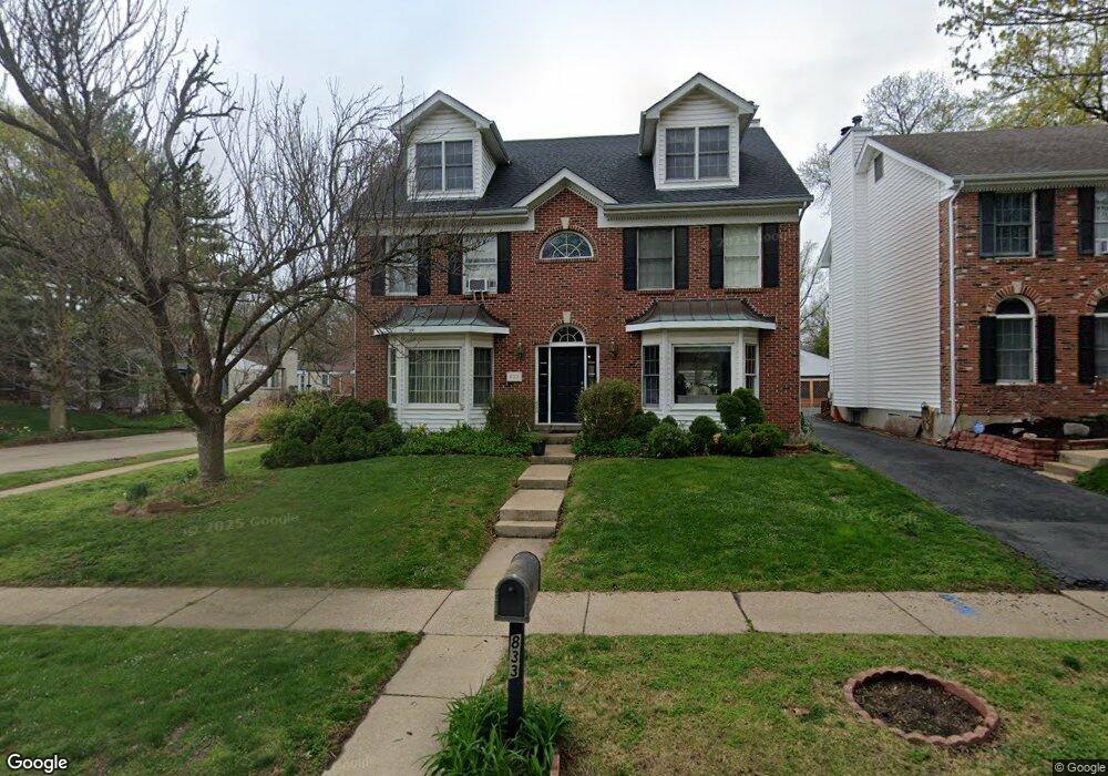
833 Lionsgate Dr Saint Louis, MO 63130
Estimated Value: $487,000 - $576,160
3
Beds
4
Baths
2,242
Sq Ft
$237/Sq Ft
Est. Value
About This Home
This home is located at 833 Lionsgate Dr, Saint Louis, MO 63130 and is currently estimated at $530,790, approximately $236 per square foot. 833 Lionsgate Dr is a home located in St. Louis County with nearby schools including Jackson Park Elementary School, Brittany Woods Middle School, and University City High School.
Ownership History
Date
Name
Owned For
Owner Type
Purchase Details
Closed on
Aug 2, 2022
Sold by
Popkin Alan E
Bought by
Alan E Popkin Revocable Trust
Current Estimated Value
Create a Home Valuation Report for This Property
The Home Valuation Report is an in-depth analysis detailing your home's value as well as a comparison with similar homes in the area
Home Values in the Area
Average Home Value in this Area
Purchase History
| Date | Buyer | Sale Price | Title Company |
|---|---|---|---|
| Alan E Popkin Revocable Trust | -- | Husch Blackwell Llp |
Source: Public Records
Tax History
| Year | Tax Paid | Tax Assessment Tax Assessment Total Assessment is a certain percentage of the fair market value that is determined by local assessors to be the total taxable value of land and additions on the property. | Land | Improvement |
|---|---|---|---|---|
| 2025 | $6,884 | $80,030 | $24,450 | $55,580 |
| 2024 | $6,884 | $97,020 | $20,960 | $76,060 |
| 2023 | $6,876 | $97,020 | $20,960 | $76,060 |
| 2022 | $5,217 | $68,440 | $20,960 | $47,480 |
| 2021 | $5,163 | $68,440 | $20,960 | $47,480 |
| 2020 | $5,928 | $76,670 | $17,580 | $59,090 |
| 2019 | $5,871 | $76,670 | $17,580 | $59,090 |
| 2018 | $5,312 | $64,090 | $11,290 | $52,800 |
| 2017 | $5,323 | $64,090 | $11,290 | $52,800 |
| 2016 | $5,603 | $64,620 | $20,050 | $44,570 |
Source: Public Records
Map
Nearby Homes
- 1000 Wild Cherry Ln
- 7843 Cornell Ave
- 971 Barnard College Ln
- 962 Warder Ave
- 7723 Wild Plum Ave
- 7731 Wild Plum Ave
- 986 Barnard College Ln
- 7741 Wild Plum Ave
- 972 Warder Ave
- 982 Warder Ave
- 961 Briarwood Ln
- 540 N and South Rd Unit 105
- 520 N and South Rd Unit 105
- 505 N and South #2b
- 1100 Wilshire Ave
- 1109 N and South Rd
- 7498 Teasdale Ave
- 7742 Elene Ave
- 7526 Washington Ave
- 7481 Drexel Dr
- 839 Lionsgate Dr
- 830 Wild Cherry Ln
- 845 Lionsgate Dr
- 834 Lionsgate Dr
- 836 Wild Cherry Ln
- 7718 Amherst Ave
- 840 Lionsgate Dr
- 7712 Amherst Ave
- 7724 Balson Ave
- 851 Lionsgate Dr
- 846 Lionsgate Dr
- 7706 Amherst Ave
- 7730 Balson Ave
- 840 Wild Cherry Ln
- 857 Lionsgate Dr
- 852 Lionsgate Dr
- 7700 Amherst Ave
- 861 Lionsgate Dr
- 829 Wild Cherry Ln
- 865 Lionsgate Dr Unit 2B
Your Personal Tour Guide
Ask me questions while you tour the home.