833 Perry Curtis Rd Zebulon, NC 27597
Estimated Value: $470,000 - $744,467
4
Beds
3
Baths
2,935
Sq Ft
$206/Sq Ft
Est. Value
About This Home
This home is located at 833 Perry Curtis Rd, Zebulon, NC 27597 and is currently estimated at $605,617, approximately $206 per square foot. 833 Perry Curtis Rd is a home located in Wake County with nearby schools including Zebulon Elementary School, Zebulon Magnet Middle School, and East Wake High School.
Ownership History
Date
Name
Owned For
Owner Type
Purchase Details
Closed on
Aug 30, 1999
Sold by
Mitchell Melba Perry and Perry Billy Wayne
Bought by
Crenshaw Barry A
Current Estimated Value
Home Financials for this Owner
Home Financials are based on the most recent Mortgage that was taken out on this home.
Original Mortgage
$45,000
Outstanding Balance
$13,310
Interest Rate
7.79%
Estimated Equity
$592,307
Create a Home Valuation Report for This Property
The Home Valuation Report is an in-depth analysis detailing your home's value as well as a comparison with similar homes in the area
Home Values in the Area
Average Home Value in this Area
Purchase History
| Date | Buyer | Sale Price | Title Company |
|---|---|---|---|
| Crenshaw Barry A | $57,500 | -- |
Source: Public Records
Mortgage History
| Date | Status | Borrower | Loan Amount |
|---|---|---|---|
| Open | Crenshaw Barry A | $45,000 |
Source: Public Records
Tax History Compared to Growth
Tax History
| Year | Tax Paid | Tax Assessment Tax Assessment Total Assessment is a certain percentage of the fair market value that is determined by local assessors to be the total taxable value of land and additions on the property. | Land | Improvement |
|---|---|---|---|---|
| 2025 | $3,722 | $578,876 | $203,568 | $375,308 |
| 2024 | $3,615 | $578,876 | $203,568 | $375,308 |
| 2023 | $2,992 | $381,219 | $115,549 | $265,670 |
| 2022 | $2,773 | $381,219 | $115,549 | $265,670 |
| 2021 | $2,699 | $381,219 | $115,549 | $265,670 |
| 2020 | $2,654 | $381,219 | $115,549 | $265,670 |
| 2019 | $2,801 | $340,540 | $98,620 | $241,920 |
| 2018 | $2,575 | $340,540 | $98,620 | $241,920 |
| 2017 | $2,441 | $340,540 | $98,620 | $241,920 |
| 2016 | $2,392 | $340,540 | $98,620 | $241,920 |
| 2015 | $830 | $357,266 | $110,620 | $246,646 |
| 2014 | -- | $357,266 | $110,620 | $246,646 |
Source: Public Records
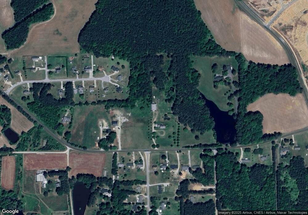
Map
Nearby Homes
- 657 Sefton Park Dr
- 655 Sefton Park Dr
- 653 Sefton Park Dr
- 661 Sefton Park Dr
- 1068 Channel Drop Loop
- 1072 Channel Drop Loop
- 1069 Channel Drop Loop
- 1076 Channel Drop Loop
- 1081 Channel Drop Loop
- 1085 Channel Drop Loop
- 1091 Channel Drop Loop
- 1095 Channel Drop Loop
- 1099 Channel Drop Loop
- 645 Hipwood Dr
- 637 Hipwood Dr
- 628 Hipwood Dr
- 624 Hipwood Dr
- 616 Hipwood Dr
- 608 Hipwood Dr
- 601 Hipwood Dr
- 10416 Perry Ridge Ct
- 10421 Perry Ridge Ct
- 10412 Perry Ridge Ct
- 10417 Perry Ridge Ct
- 817 Perry Curtis Rd
- 900 Perry Curtis Rd
- 836 Perry Curtis Rd
- 10408 Perry Ridge Ct
- 908 Perry Curtis Rd
- 832 Perry Curtis Rd
- 828 Perry Curtis Rd
- 10413 Perry Ridge Ct
- 912 Perry Curtis Rd
- 929 Perry Curtis Rd
- 920 Perry Curtis Rd
- 10404 Perry Ridge Ct
- 10409 Perry Ridge Ct
- 75 Mission Belle Ln
- 70 Mission Belle Ln
- 10405 Perry Ridge Ct