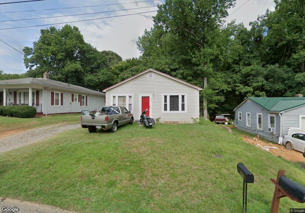
833 Robinson Cir Reidsville, NC 27320
Estimated Value: $77,939 - $158,000
2
Beds
1
Bath
900
Sq Ft
$134/Sq Ft
Est. Value
About This Home
This home is located at 833 Robinson Cir, Reidsville, NC 27320 and is currently estimated at $120,735, approximately $134 per square foot. 833 Robinson Cir is a home located in Rockingham County with nearby schools including Reidsville High School, Moss Street Elementary, and Reidsville Middle School.
Ownership History
Date
Name
Owned For
Owner Type
Purchase Details
Closed on
May 31, 2018
Sold by
Nickerson Property Investments Llc
Bought by
Bondurant Matthew
Current Estimated Value
Purchase Details
Closed on
May 28, 2008
Sold by
Nickerson Ralph William and Nickerson Jodi L
Bought by
Nickeron Property Investments Llc
Purchase Details
Closed on
May 2, 2008
Sold by
Us Bank National Association
Bought by
Nickerson Ralph William
Purchase Details
Closed on
Jun 2, 2006
Sold by
Fraley Timothy E
Bought by
Us Bank National Association
Create a Home Valuation Report for This Property
The Home Valuation Report is an in-depth analysis detailing your home's value as well as a comparison with similar homes in the area
Home Values in the Area
Average Home Value in this Area
Purchase History
| Date | Buyer | Sale Price | Title Company |
|---|---|---|---|
| Bondurant Matthew | $76,500 | None Available | |
| Nickeron Property Investments Llc | -- | None Available | |
| Nickerson Ralph William | $23,000 | None Available | |
| Us Bank National Association | $46,438 | None Available |
Source: Public Records
Tax History Compared to Growth
Tax History
| Year | Tax Paid | Tax Assessment Tax Assessment Total Assessment is a certain percentage of the fair market value that is determined by local assessors to be the total taxable value of land and additions on the property. | Land | Improvement |
|---|---|---|---|---|
| 2025 | $553 | $44,628 | $3,449 | $41,179 |
| 2024 | $553 | $44,628 | $3,449 | $41,179 |
| 2023 | $505 | $35,218 | $3,135 | $32,083 |
| 2022 | $505 | $35,218 | $3,135 | $32,083 |
| 2021 | $505 | $35,218 | $3,135 | $32,083 |
| 2020 | $505 | $35,218 | $3,135 | $32,083 |
| 2019 | $505 | $35,218 | $3,135 | $32,083 |
| 2018 | $425 | $29,606 | $6,723 | $22,883 |
| 2017 | $425 | $29,606 | $6,723 | $22,883 |
| 2015 | $429 | $29,606 | $6,723 | $22,883 |
| 2014 | $425 | $29,606 | $6,723 | $22,883 |
Source: Public Records
Map
Nearby Homes
- 00 Robinson Cir
- 315 Hubbard St
- 802 Lawsonville Ave
- 403 Pennsylvania Ave
- 335 S Branch St
- 101 S Branch St
- 312 Church St
- 511 Barnes St
- 515 Barnes St
- 607 Lancaster Dr
- 502 Thomas St
- 612 Thomas St
- 115 N Harris St
- 105 Edna St
- 816 Barnes St
- 802 Montgomery St
- 00 E Morehead St
- 137 Ridge St
- 117 Ridge St
- 308 S Main St
- 835 Robinson Cir
- 831 Robinson Cir
- 829 Robinson Cir
- 827 Robinson Cir
- 832 Robinson Cir
- 830 Robinson Cir
- 828 Robinson Cir
- 843 Robinson Cir
- 845 Robinson Cir
- 808 Robinson Cir
- 310 Hubbard St
- 308 Hubbard St
- 847 Robinson Cir
- 312 Hubbard St
- 306 Hubbard St
- 0 Robinson Cir
- 314 Hubbard St
- 302 Hubbard St
- 849 Robinson Cir
- 545 Sands Cir