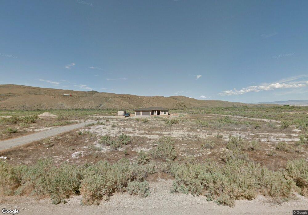
833 Slickrock Dr MacK, CO 81525
Mack NeighborhoodEstimated Value: $661,152 - $757,000
3
Beds
3
Baths
2,198
Sq Ft
$317/Sq Ft
Est. Value
About This Home
This home is located at 833 Slickrock Dr, MacK, CO 81525 and is currently estimated at $696,538, approximately $316 per square foot. 833 Slickrock Dr is a home located in Mesa County with nearby schools including Loma Elementary School, Fruita Middle School, and Fruita 8/9 School.
Ownership History
Date
Name
Owned For
Owner Type
Purchase Details
Closed on
Apr 26, 2006
Sold by
Mack Mesa Llc
Bought by
Weatherly Stacie E and Hall Roger D
Current Estimated Value
Purchase Details
Closed on
Jun 8, 2005
Sold by
Mack Mesa Llc
Bought by
Smith Bryan D
Home Financials for this Owner
Home Financials are based on the most recent Mortgage that was taken out on this home.
Original Mortgage
$5,000
Interest Rate
5.5%
Mortgage Type
Seller Take Back
Create a Home Valuation Report for This Property
The Home Valuation Report is an in-depth analysis detailing your home's value as well as a comparison with similar homes in the area
Home Values in the Area
Average Home Value in this Area
Purchase History
| Date | Buyer | Sale Price | Title Company |
|---|---|---|---|
| Weatherly Stacie E | $122,900 | None Available | |
| Mack Mesa Llc | $116,000 | None Available | |
| Smith Bryan D | $80,000 | Meridian Land Title Llc |
Source: Public Records
Mortgage History
| Date | Status | Borrower | Loan Amount |
|---|---|---|---|
| Previous Owner | Smith Bryan D | $5,000 |
Source: Public Records
Tax History Compared to Growth
Tax History
| Year | Tax Paid | Tax Assessment Tax Assessment Total Assessment is a certain percentage of the fair market value that is determined by local assessors to be the total taxable value of land and additions on the property. | Land | Improvement |
|---|---|---|---|---|
| 2024 | $2,214 | $32,490 | $3,790 | $28,700 |
| 2023 | $2,214 | $32,490 | $3,790 | $28,700 |
| 2022 | $1,558 | $22,570 | $3,750 | $18,820 |
| 2021 | $1,565 | $23,220 | $3,860 | $19,360 |
| 2020 | $1,771 | $26,930 | $3,860 | $23,070 |
| 2019 | $1,671 | $26,930 | $3,860 | $23,070 |
| 2018 | $1,305 | $19,120 | $2,880 | $16,240 |
| 2017 | $1,093 | $19,120 | $2,880 | $16,240 |
| 2016 | $1,093 | $19,050 | $1,590 | $17,460 |
| 2015 | $1,111 | $19,050 | $1,590 | $17,460 |
| 2014 | $1,118 | $19,300 | $3,180 | $16,120 |
Source: Public Records
Map
Nearby Homes
- 835 Slickrock Dr
- 0 Slickrock Dr Unit 753224
- 0 Slickrock Dr Unit 618024
- 0 Slickrock Dr Unit 630431
- 0 Slickrock Dr Unit 661870
- 0 Slickrock Dr Unit 619446
- 0 Slickrock Dr Unit 622740
- 0 Slickrock Dr Unit 628725
- 0 Slickrock Dr Unit 645497
- 0 Slickrock Dr Unit 650424
- 837 Slickrock Dr
- 830 Slickrock Dr
- 829 Slickrock Dr
- 836 Slickrock Dr
- 1339 Robinson Ct
- 1341 Robinson Ct
- 840 Slickrock Dr
- 826 Slickrock Dr
- 1343 Robinson Ct
- 842 Slickrock Dr
