833 Thompson Rd Lithia, FL 33547
Estimated Value: $656,816 - $789,000
3
Beds
2
Baths
2,279
Sq Ft
$309/Sq Ft
Est. Value
About This Home
This home is located at 833 Thompson Rd, Lithia, FL 33547 and is currently estimated at $704,704, approximately $309 per square foot. 833 Thompson Rd is a home located in Hillsborough County with nearby schools including Pinecrest Elementary School, Randall Middle School, and Newsome High School.
Ownership History
Date
Name
Owned For
Owner Type
Purchase Details
Closed on
Dec 14, 2022
Sold by
Stroup Roy D and Stroup Chitra
Bought by
Stroup Roy D and Stroup Roy D
Current Estimated Value
Purchase Details
Closed on
Dec 1, 2000
Sold by
Thomas Gary L and Thomas Charlotte A
Bought by
Stroup Roy D and Stroup Chitra
Home Financials for this Owner
Home Financials are based on the most recent Mortgage that was taken out on this home.
Original Mortgage
$213,750
Interest Rate
7.82%
Mortgage Type
New Conventional
Create a Home Valuation Report for This Property
The Home Valuation Report is an in-depth analysis detailing your home's value as well as a comparison with similar homes in the area
Home Values in the Area
Average Home Value in this Area
Purchase History
| Date | Buyer | Sale Price | Title Company |
|---|---|---|---|
| Stroup Roy D | -- | -- | |
| Stroup Roy D | $225,000 | -- |
Source: Public Records
Mortgage History
| Date | Status | Borrower | Loan Amount |
|---|---|---|---|
| Previous Owner | Stroup Roy D | $213,750 |
Source: Public Records
Tax History Compared to Growth
Tax History
| Year | Tax Paid | Tax Assessment Tax Assessment Total Assessment is a certain percentage of the fair market value that is determined by local assessors to be the total taxable value of land and additions on the property. | Land | Improvement |
|---|---|---|---|---|
| 2024 | $3,860 | $232,313 | -- | -- |
| 2023 | $3,712 | $225,547 | $0 | $0 |
| 2022 | $3,530 | $218,978 | $0 | $0 |
| 2021 | $3,487 | $212,600 | $0 | $0 |
| 2020 | $3,395 | $209,665 | $0 | $0 |
| 2019 | $3,288 | $204,951 | $0 | $0 |
| 2018 | $3,232 | $201,130 | $0 | $0 |
| 2017 | $3,186 | $272,676 | $0 | $0 |
| 2016 | $3,155 | $192,941 | $0 | $0 |
| 2015 | $3,151 | $191,604 | $0 | $0 |
| 2014 | $3,151 | $189,440 | $0 | $0 |
| 2013 | $3,099 | $186,284 | $0 | $0 |
Source: Public Records
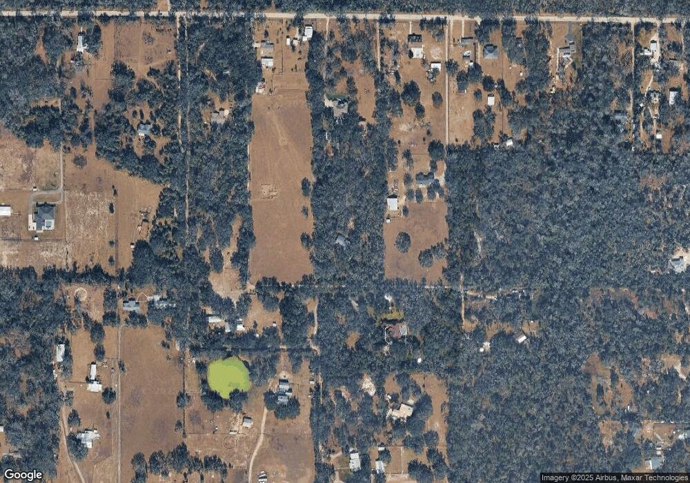
Map
Nearby Homes
- 9824 Brantley Rd
- 10101 Bryant Rd
- 1517 Uncle Buds Ln
- 10579 Meadowrun Dr
- 10073 Meadowrun Dr
- Key Largo Plan at Creek Ridge Preserve - Artisan Series
- Madeira III Plan at Creek Ridge Preserve - Artisan Series
- Key West I Plan at Creek Ridge Preserve - Artisan Series
- Key West II Plan at Creek Ridge Preserve - Artisan Series
- Cedar Key II Plan at Creek Ridge Preserve - Artisan Series
- Cedar Key I Plan at Creek Ridge Preserve - Artisan Series
- Key Largo II Plan at Creek Ridge Preserve - Artisan Series
- Granada II Plan at Creek Ridge Preserve - Artisan Series
- Granada I Plan at Creek Ridge Preserve - Artisan Series
- 1829 Streetman Dr
- 10023 Meadowrun Dr
- 1825 Streetman Dr
- 1727 Alafia Trail Dr
- 17907 Burnt Oak Ln
- 420 Hawk Talon Dr
- 10060 Ramblin Hinson Rd
- 10040 Wilderness Creek Run
- 819 Thompson Rd
- 845 Thompson Rd
- 10030 Wilderness Creek Run
- 10040 Ramblin Hinson Rd
- 10020 Wilderness Creek Run
- 995 Thompson Rd
- 10110 Ramblin Hinson Rd
- 821 Thompson Rd
- 1005 Thompson Rd
- 10038 Wilderness Creek Run
- 921 Thompson Rd
- 909 Thompson Rd
- 1004 Pelote Cemetery Rd
- 10130 Ramblin Hinson Rd
- 749 Thompson Rd
- 743 Thompson Rd
- 1011 Thompson Rd
- 735 Thompson Rd