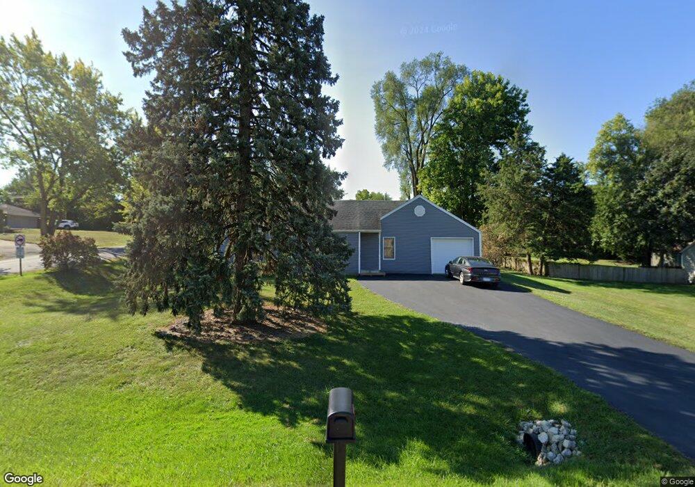
833 Thornton St Unit 1 Lockport, IL 60441
Estimated Value: $245,756 - $316,000
4
Beds
1
Bath
--
Sq Ft
0.25
Acres
About This Home
This home is located at 833 Thornton St Unit 1, Lockport, IL 60441 and is currently estimated at $289,939. 833 Thornton St Unit 1 is a home located in Will County with nearby schools including Milne Grove Elementary School, Kelvin Grove Jr High School, and Lockport Township High School East.
Ownership History
Date
Name
Owned For
Owner Type
Purchase Details
Closed on
Jul 13, 2011
Sold by
Meadows Darryl
Bought by
Meadows Michael W and Meadows Michael
Current Estimated Value
Home Financials for this Owner
Home Financials are based on the most recent Mortgage that was taken out on this home.
Original Mortgage
$144,248
Outstanding Balance
$99,752
Interest Rate
4.62%
Mortgage Type
FHA
Estimated Equity
$190,187
Create a Home Valuation Report for This Property
The Home Valuation Report is an in-depth analysis detailing your home's value as well as a comparison with similar homes in the area
Home Values in the Area
Average Home Value in this Area
Purchase History
| Date | Buyer | Sale Price | Title Company |
|---|---|---|---|
| Meadows Michael W | $148,000 | First American Title |
Source: Public Records
Mortgage History
| Date | Status | Borrower | Loan Amount |
|---|---|---|---|
| Open | Meadows Michael W | $144,248 |
Source: Public Records
Tax History Compared to Growth
Tax History
| Year | Tax Paid | Tax Assessment Tax Assessment Total Assessment is a certain percentage of the fair market value that is determined by local assessors to be the total taxable value of land and additions on the property. | Land | Improvement |
|---|---|---|---|---|
| 2024 | $5,351 | $75,141 | $25,875 | $49,266 |
| 2023 | $5,351 | $67,457 | $23,229 | $44,228 |
| 2022 | $4,587 | $59,884 | $20,622 | $39,262 |
| 2021 | $4,323 | $56,277 | $19,380 | $36,897 |
| 2020 | $4,207 | $54,427 | $18,743 | $35,684 |
| 2019 | $3,981 | $51,590 | $17,766 | $33,824 |
| 2018 | $3,894 | $49,606 | $17,083 | $32,523 |
| 2017 | $3,732 | $46,829 | $16,127 | $30,702 |
| 2016 | $3,552 | $43,888 | $15,114 | $28,774 |
| 2015 | $3,348 | $40,940 | $14,099 | $26,841 |
| 2014 | $3,348 | $38,262 | $13,177 | $25,085 |
| 2013 | $3,348 | $39,856 | $13,726 | $26,130 |
Source: Public Records
Map
Nearby Homes
- 613 Katherine St
- 1108 E 9th St
- 1340 Lacoma Ct
- 613 E 3rd St Unit 4
- 134 S Jefferson St
- 540 E 4th St
- 317 Bonnie Dr
- 1102 E Treeline Dr
- 247 E North St
- 219 S Washington St
- 609 Oak St
- 560 E 7th St
- 807 Valley Ln
- 101 Market St
- 118 N State St
- 120 N State St
- 805 Maryknoll Dr
- 1220 E Wellwood Dr
- 1105 Shoals Dr
- 800 Madison St Unit 2C
- 807 Thornton St
- 830 E 1st St
- 806 E 1st St
- 104 Pendelton St Unit 1
- 805 Thornton St
- 812 E 1st St
- 900 E 1st St
- 803 Thornton St
- 913 Thornton St
- 802 E 1st St
- 900 Thornton St Unit 1
- 101 Le Jeune Ave
- 918 E 1st St
- 800 E 1st St
- 103 Dundee Dr
- 105 Earl St
- 921 Thornton St
- 831 E 1st St
- 920 E 1st St
- 105 Dundee Dr